Download
1 / 18
180 likes | 301 Views
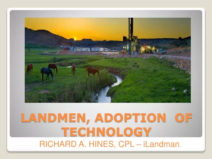
LANDMEN, ADOPTION OF TECHNOLOGY. RICHARD A. HINES, CPL – iLandman. CALCULATOR. TELEPHONE. TYPEWRITER. SLIDE RULE. TECHNOLOGY FROM PAST. CELL OR SMART PHONES. COMPUTER WORK STATION. LAPTOP. TABLETS. TECHNOLOGY - PRESENT. LANDMEN USE MAPS TO TELL THEIR STORY. HAND DRAWN.

E N D
LANDMEN, ADOPTION OF TECHNOLOGY RICHARD A. HINES, CPL – iLandman.
CALCULATOR TELEPHONE TYPEWRITER SLIDE RULE TECHNOLOGY FROM PAST
CELL OR SMART PHONES COMPUTER WORK STATION LAPTOP TABLETS TECHNOLOGY - PRESENT
LANDMEN USE MAPS TO TELL THEIR STORY HAND DRAWN TOBIN OR PRINT BASED GIS BASED LANDMEN USE MAPPING
GIS - A geographical information system is a system designed to capture, store, manipulate, analyze, manage, and present all types of geographically referenced data. COMPANIES AND TYPES • ESRI – ARC VIEW • AUTODESK – AUTO CAD • BENTLEY – MICROSTATION • PITNEY BOWES – MAPINFO • INTERGRAPH – GEOMEDIA GIS MAPPING
A database is an organized collection of data for one or more purposes, usually in digital form. There are many types and varieties of databases Simple models: • Microsoft Excel • Microsoft Access Commercial models: • Dbase • SQL • Oracle DATABASES
TRACT BASED SYSTEMS • LEASE BASED SYSTEMS TWO BASIC TYPES OF LAND DATABASE SYSTEMS TYPES OF DATABASE SYSTEMS
TRACT BASED SYSTEMS In a tract-based system, the user defines the tract of land owned by both the surface and mineral owners, along with their ownership information. The tract is defined as a commonly owned parcel of land where the surface and/or mineral ownership percentage is the same throughout. • LEASE BASED SYSTEMS In a lease-based system, the users defines the lease or contract and associates what tracts of land are covered by this contract. Most lease administrators advise their entry personnel to use the lease number and tract 1, 2 or 3 for each lease. This makes mapping very general and/or difficult as well as having trouble making precise obligations on the tracts covered. TRACT BASED vs. LEASE BASED
Do you want a Tract based or Lease based system? • Do you have an experienced lease analyst available or will the staff help? • Does the software require specialist to use it. • What type of mapping do you currently use and what will be need to go strictly GIS? • Does your company or client require you to calculate and prepare division of interest reports? • Do you have a need for depth segregation in the tract, lease or both? • Do you need ability for field landmen to create leases, payments, etc. • Do you need ability to track the payments and leases from inception to lease records? • Can you search, enter or retrieve the information you are looking for without help? • Is the system user-friendly for all types of users • Does the system have the reporting necessary and can custom reports be accomplished with minimal effort and expense? • What type of lease package does the system reports generate? QUESTIONS TO ASK
Is the system designed to greatly reduce the cost of lease acquisition and land data management. • Is the system accessible via the Internet (no VPN required). • Is the system intuitive and easy to use. Has some type of training aid. • Is the system TRACT based or LEASE based. • Does the system streamline the flow of information on lease acquisition projects by collecting data in the field. • Does the system Use a workflow to check data ensuring completeness and correctness. • Does the system incorporate a dynamic map with your project data to always be current. • Does the system allows for Information Modeling through 3rd party data source connections. • Does the system contains templates so field landmen can easily create oil and gas leases and various contracts in the field. • Does the system allow the landmen to keep track of all contacts with tract owners • Does the system allow you to monitor Broker cost. Does it contain a Timesheet where your field landmen can record their time and expenses. • UNIFORMITY, Is the database uniform? This uniformity gives the data credibility, and is turned into useable knowledge. • Is the system completely scalable. Must be robust enough to handle the largest to smallest projects. KNOW WHAT YOU ARE LOOKING FOR
PARCEL DATA • ONLINE COURT HOUSE RECORDS • AERIAL PHOTOGRAPHY • LEASE DEPICTION SERVICES • PIPELINE DATA • WELL DATA FROM CONSERVATION DEPTS • SEISMIC INTERPRETATION IMAGERY • GEOLOGICAL RECORDS LANDMEN CAN USE RESOURCES TO ASSIST THEM
CONTRACT SEARCH USING DATA TO QUICKLY GET ANSWERS
PAYMENT REPORTS USING DATA TO QUICKLY GET ANSWERS
TRACT STATUS MAPS AND REPORTS USING DATA TO QUICKLY GET ANSWERS
LEASEHOLD POSITION MAP USING DATA TO QUICKLY GET ANSWERS
DASHBOARD OF PROJECTS USING DATA TO QUICKLY GET ANSWERS
RICHARD A. HINES rhines@iLandman.com 315 S. College Rd., Suite 270 Lafayette, LA 70503 337-234-1125 QUESTIONS CONTACT US!