Download
1 / 10
120 likes | 185 Views
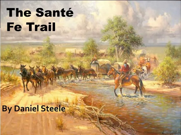
The Santé Fe Trail. By Daniel Steele. If anything on this PowerPoint is highlighted a different color , underlined, or both , it’s important. The Santé Fe Trail.

E N D
The Santé Fe Trail By Daniel Steele
If anything on this PowerPoint is highlighted a different color, underlined, orboth, it’s important.
The Santé Fe Trail The Santé Fe Trail started from Independence Missouri, and ends 1200 miles later in Santé Fe, New Mexico, and the trail goes through 5 states.
Before the trail • Before 1821, early American explorers and mountain men made the trip to Santé Fe on horseback with small strings of pack horses. • Their route followed a winding path of Native American trails. • As Santé Fe, in this time was not part of the U.S. territory, open trading was forbidden but, a few goods were smuggled in secretly.
Mexico gains independence • In 1821, Mexico gained independence from Spain and trade barriers were removed. • In 1821, William Becknell traveled from Missouri to open trading between the U.S. and Mexico, in Santé Fe. • In the next 20 years, about 80 wagons and 150 people traveled the trail each year. • The Mexican American war ended in 1846, and Santé Fe became part of the U.S. territory.
Hardships on the trail • There was serious danger of Native American attacks for the Comanches and Apaches did not tolerate trespassers. • Lack of food and water made the trail risky. • Weather conditions, especially huge lightning storms, were difficult because there was no where to take cover from the storms. • Rattle snakes were a threat as many people died of snake bites. • Another hardship they faced on the trail was quick sand.
Sort these places as the trail goes from east to west along the trail • Fort Lerned • Cimarron Cutoff • Independence, Missouri • Santé Fe, New Mexico • Bent’s Fort
The correct order • Independence, Missouri • Fort Lerned • Cimarron Cutoff • Bent’s Fort • Santé Fe, New Mexico
Effects of the Santé Fe trail • The Santé Fe trail enabled U.S. soldiers to fight in the Mexican American war in 1847 which resulted in the South Western portion of the country, becoming a U.S. territory. • This enabled the United States to go from the Atlantic Ocean, to the Pacific Ocean and help achieve manifest destiny. • U.S. expansion meant the ultimate removal of the Native American’s land and their way of life being destroyed.