Download
1 / 18
180 likes | 274 Views
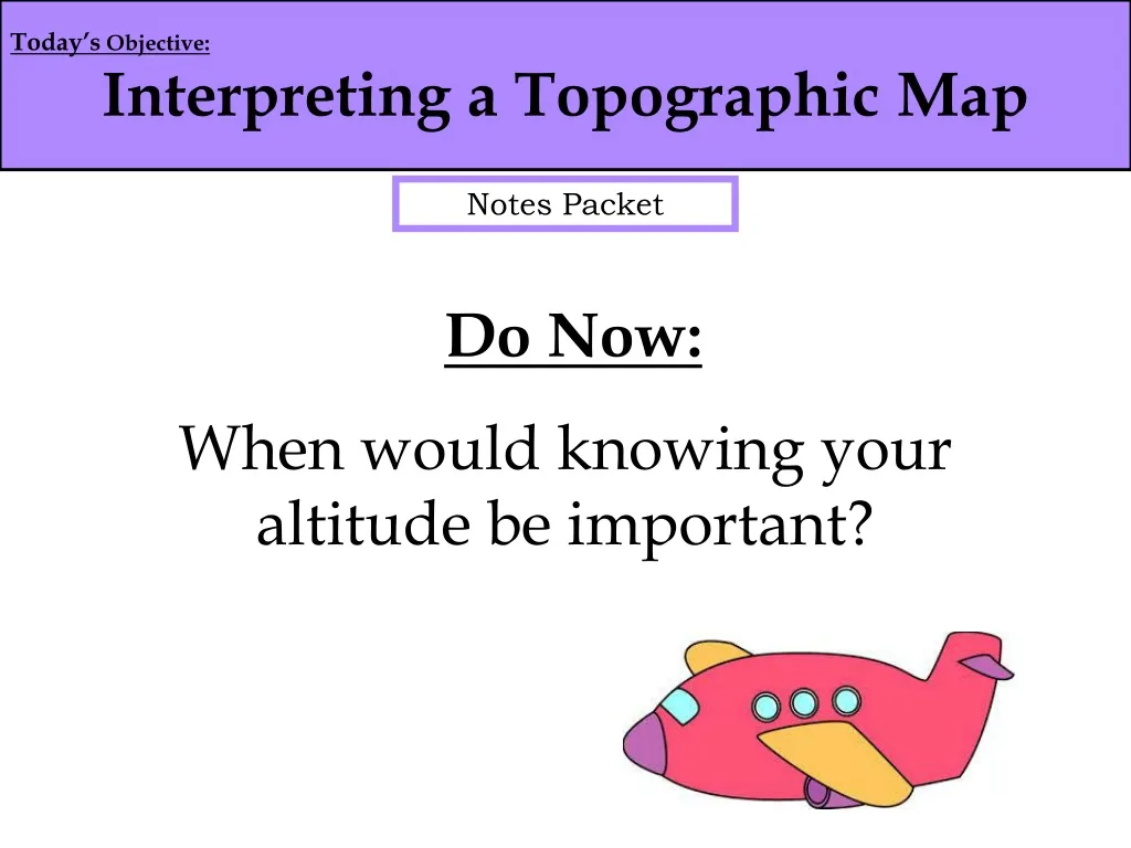
Today’s Objective: Interpreting a Topographic Map. Do Now: When would knowing your altitude be important?. Notes Packet. ** Important Vocabulary **. Isoline - Is a general term used to describe lines that connect points of equal value on a map. Types of Isolines -.

E N D
Today’s Objective: Interpreting a Topographic Map Do Now: When would knowing your altitude be important? Notes Packet
** Important Vocabulary ** Isoline - Is a general term used to describe lines that connect points of equal value on a map. Types of Isolines - Isotherms - Lines connecting equal temperatures Contour Lines - Lines connecting equal elevations Isobars - Lines connecting equal pressures
Index Contour Line Heavy lines spaced at a predetermined labeled elevations on a topographic map. Index Contour
Contour Interval - The vertical distance that separates EVERY contour line on a topographic map. What is the contour interval of this map? Benchmark – tells the real elevation at that point
Estimating Elevation • Label the contour lines based on the map interval • Find the contour line before and after the point you are trying to determine • You’re answer should be a point in between those lines Give a possible elevation for point “a” 10 . c 20 . b 30 Give a possible elevation for point “b” . a Contour Interval = 10 m
What is the highest possible elevation of point “c”? The highest possible point on a contour map will always be one unit less than the next possible contour line. Give the HIGHEST possible elevation for point “c” 10 . c 20 . b 30 . a Contour Interval = 10 m
What about the LOWEST possible point? The lowest possible point on a contour map will always be one unit more than the lower contour line. Give the LOWEST possible elevation for point “c” 10 . c 20 . b 30 . a Contour Interval = 10 m
Where would it be easier to hike? B. A. Why? B has a gentle slope, or gradient.
Gradient • Refers to the steepness of the land (slope) Closer contour lines = steep slopes. Further contour lines = gradual slopes. Which side of the hill is the steepest? WHY? N
Contour lines will either • Run off the map or • Close on themselves to create circles
Contour lines will NEVER cross. If contour lines touch they represent a very steep gradient, otherwise called a cliff.
Closed contours with hachure marks represent depressions (holes). Hachure Contours
The contour line with the marks, or hachures , has the same elevation as the line before it. Same Elevation 50 Meters
River and Streams When a river or stream crosses a contour line, the contour line bends and points upstream. upstream • Upstream is where the river starts, higher elevation. • Downstream is where the river ends, lower elevation. downstream
What is the contour interval? • What compass direction is Eagle Mt. located? • What is the elevation at the edge of Wolf Pond? • What is the elevation of point B? Point C? Point E?
What is the distance from B to D? (scrap paper) • Place an “X” on the map where the steepest location would be. • What direction is Deer River flowing? Explain how your know.