Download
1 / 21
210 likes | 364 Views
Overview. Wave modeling for design of MRL-HSDRRS MRL-HSDRRS design / overtopping calcs Map of deficient areas Overtopping along MRL-HSDRRS EB and WB Katrina validation. Wave Modeling in River. Input Timeseries : Water Level (Depth) Wind Speed / Direction Input Geometry:

E N D
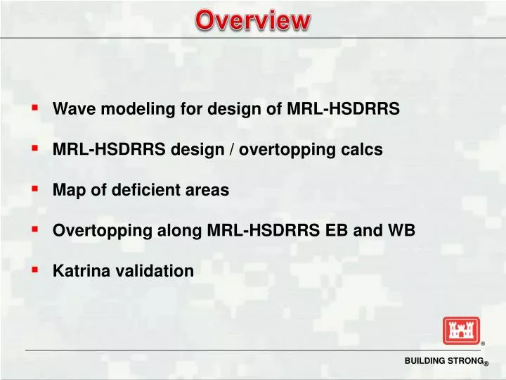
Overview • Wave modeling for design of MRL-HSDRRS • MRL-HSDRRS design / overtopping calcs • Map of deficient areas • Overtopping along MRL-HSDRRS EB and WB • Katrina validation
Wave Modeling in River Input Timeseries: Water Level (Depth) Wind Speed / Direction Input Geometry: Fetch Length vs. Wind Direction Batture Width and Elevation Output Timeseries: Significant Wave Height Peak Wave Period Slide 2 Slide 2
Slide 3 Slide 3
8/29/2005 08:00AM CDT Caernarvon
English Turn at hwy 406 8/29/2005 09:00AM CDT Violet
Wave Statistics in River Inputs: 152 Storm Probabilities 152 Wave Heights/Periods Outputs: Wave Height – Frequency Curve Wave Period – Frequency Curve 1% Hs
We understand that in the case of the MRL design/analysis, USACE did not follow the same procedures that were used to design other parts of the HSDRRS. For example, it is our understanding that in all other perimeter parts of the HSDRRS, waves were applied simultaneously with maximum surge height, and they were applied perpendicular to the levee/structure. No attempt was made to link wave direction to wind direction and the temporal aspects of surge height. -Bob Turner SLFPA-E STORM 001 Slide 7 Slide 7
River Mile 81 to 89 on EB 1% Surge = 14.94 - 15.10 ft. 1% Hs = 1.5 ft. 1% Tp = 2.5 sec. 1% Design El. = 18.0 ft 0.2% Surge = 17.86 - 18.10 ft Final 1% Design = 18.5 ft 1% Surge = 14.94 - 15.10 ft. 1% Hs = 1.5 ft. 1% Tp = 3.5 sec. 1% Design El. = 18.5 ft 0.2% Surge = 17.86 - 18.10 ft Final 1% Design = 18.5 ft
Monte Carlo Based Overtopping Calcs 1% Tp = 3.5 sec 1% std = 20% of Tp 1% Hs = 3.3 ft 1% std = 10% of Hs 1% surge = 10.8 ft NAVD 1% std = 1.08 ft 1% 1% + 1*std mean - 1*std 1% Q90% 10000 Samples: Compute OT rate for each sample Van der Meer, Franco&Franco, Weir Other variables: Crest elevation, slope, roughness factor, berm factor, wave angle factor, wall factor Q50%