Download
1 / 56
580 likes | 792 Views
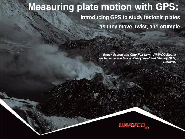
Measuring plate motion with GPS: Introducing GPS to study tectonic plates as they move, twist, and crumple. Roger Groom and Cate Fox-Lent, UNAVCO Master Teachers-in-Residence, Nancy West and Shelley Olds, UNAVCO. By the end of this activity…. You should be able to:

E N D
Measuring plate motion with GPS: Introducing GPS to study tectonic plates as they move, twist, and crumple Roger Groom and Cate Fox-Lent, UNAVCO Master Teachers-in-Residence, Nancy West and Shelley Olds, UNAVCO
By the end of this activity… You should be able to: • Describe generally how GPS works; • Interpret graphs in a GPS time series plot; • Determine velocity vectors from GPS time series plots; • Explain relative motions of tectonic plates in Iceland; and • Explore global GPS data.
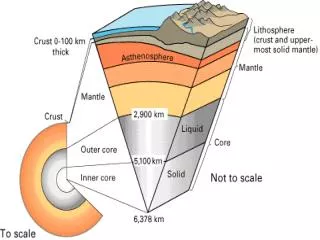
About geodesy Geodesy is the science of … measuring Earth’s size, shape, orientation, gravitational field, and variations of these with time. 3
Anatomy of a GPS station GPS antenna inside the dome is anchored to the ground with braces. Solar panel for power. Equipment enclosure includes: • GPS receiver • Power/batteries • Communications • Data storage
GPS basics • Three satellite signals locate the receiver in 3D space. • The fourth satellite is used for time accuracy. • Position can be located to within less than a centimeter.
Movement of GPS stations GPS station positions change as plates move. B A How will Station A move relative to Station B?
Movement of GPS stations GPS station positions change as plates move. B A GPS Station A is moving toward B.
Part 1: Modeling GPS To build a gumdrop model of a GPS monument: • Use one gumdrop as the receiver (GPS monument). • Use toothpicks as three legs and one center post (monument braces). • Form feet from three small lumps of clay (concrete). • Place on a small piece of transparent paper (“see-through” crust).
Modeling GPS Sketch a diagram of the demonstration. Label the components
Part 2: Measuring movement SBCC GPS STATION • Located near Mission Viejo, CA • Position data collected every 30 seconds • One position estimatedeveloped for each day: • North • East • Vertical
GPS time series plots 3 separate plots on y-axis: • North • East • Height (Vertical) Notice that scales vary. Red points: rapid estimates X-axis: date of the measurement
Which way are we going? Is the GPS station moving north or south? east or west? up or down? North (mm) East (mm) Height (mm) Time
Which way are we going? Positiveslope: The station is moving north. The station is moving east. The station is moving up. North (mm) East (mm) Height (mm) Time
Which way are we going? Is the GPS station moving north or south? east or west? up or down? North (mm) East (mm) Height (mm) Time
Which way are we going? Negative slope: The station is moving south. The station is moving west. The station is moving down. North (mm) East (mm) Height (mm) Time
Gaps in data Causes: • Power outages • Snow coverage • Equipment failure • Vandalism • Wildlife • Etc.
Iceland’s GPS data HOFN REYK
Iceland’s GPS data REYK HOFN North (mm) North (mm) East (mm) East (mm)
GPS monument HOFN What are the units of measurement for this data? North (mm) East (mm)
Let’s look at 1998 and 2008. Average position on 1/1/2008 = ______ mm Average position on 1/1/1998 = ______ mm GPS monument HOFN How quickly is HOFN moving in the north - south direction? North (mm)
Average position on 1/1/2008 = 50 mm Average position on 1/1/1998 = -98 mm Change in position = 50 – (-98) = 148 mm Annual speed of HOFN north = 148 mm/10 years = 14.8 mm/yr to the north for HOFN GPS monument HOFN North (mm)
GPS monument HOFN How quickly is HOFN moving in the east - west direction? Average position on 1/1/2008 = ______ mm Average position on 1/1/1998 = ______ mm Speed of HOFN east = ___ mm/10 years = ____ /yr to the (east or west)
GPS monument HOFN How quickly is HOFN moving in the east - west direction? Average position on 1/1/2008 = 50 mm Average position on 1/1/1998 = -80 mm Speed of HOFN east = 130 mm/10 years = 13 mm/yr to the east for HOFN East (mm)
GPS monument HOFN What direction is Monument HOFN moving? a) north only b) northwest c) northeast d) southwest North (mm) East (mm)
GPS monument REYK Think, then discuss with your neighbor: What direction is monument REYK moving? About how fast? North (mm) East (mm)
GPS monument REYK How quickly is REYK moving in the north - south direction? Average position on 1/1/2008 = 90 mm Average position on 1/1/1998 = -115 mm Speed of REYK north = (90 – -115) mm/10 years = 205 mm/10 yr = 20.5 mm/yr to the north for REYK North (mm)
GPS monument REYK How quickly are they moving in the east - west direction? Average position on 1/1/2008 = -50 mm Average position on 1/1/1998 = 60 mm Speed of REYK (east) = (-50 - 60) mm/10 years = -110 mm/10 yrs = 110 mm/10yr to the west = -11 mm/yr to the west for REYK East (mm)
Are REYK and HOFN moving… North: 15 mm/yr East: 13 mm/yr North: 20.5 mm/yr East: -11 mm/yr HOFN REYK Mimic these motions with your GPS models. …towards each other, away from each other, or in the same direction?
REYK and HOFN North: 20.5 mm/yr East: -11 mm/yr North: 15 mm/yr East: 13 mm/yr REYK HOFN North (mm) North (mm) HOFN REYK HOFN North = 15.0 mm/year REYK North = 20.5 mm/year East (mm) East (mm) There must be an easier way to show this! REYK EAST = -11.0 mm/year HOFN EAST = 13.0 mm/year
What is a vector? A vector shows speed and direction.
Graph paper as a map Each axis uses the same scale. X-axis: east in millimeters Y-axis: north in millimeters On your graph paper, each block represents 1 mm. Where is the origin on this graph paper?
Plotting REYK vectors • Vector: magnitude and direction • Tailis the GPS monument location. • Length of arrow is the magnitude. • Shows direction on a map.
Plotting REYK vectors Step 1. Draw the first vector along the north axis with the tail at 0. • GPS monument REYK moves 20.5 mm to the north per year • Draw a vector arrow 20.5 blocks along the north axis.
Plotting REYK vectors Step 2. Place the tail of the east vector at the head of the north vector. Draw the vector -11.0 blocks (mm) beginning at the head of the north arrow
Adding REYK vectors Step 3. Draw the total vector from the tail of the north vector to the arrowhead of the east vector. This new vector is the sum of the north and east vectors.
Adding vectors Or, use the Pythagorean theorem to add vectors. GPS monument moves at: √(x2+ y2) = ____ mm/yrto the ____
Mapping vectors • Graph the vectors for HOFN and REYK. • Answer questions in “Thinking through the data and maps.”
Rifting Sites of surface eruptions
Mid-Atlantic Ridge Iceland Mid-Atlantic Ridge
Part 3: Applying knowledge A B E North D C
Match cars and graphs A i) What direction? ________ Which car? ________ North East East (miles) North (miles) B E Time (Hours) Time (Hours) North D C
Match cars and graphs A i) What direction? North-Northeast Which car? Car A North East B North (miles) East (miles) E Time (Hours) Time (Hours) North D C
Match cars and graphs A ii) What direction? ________ Which car? ________ North East B North (miles) East (miles) E Time (Hours) Time (Hours) North D C
Match cars and graphs A ii) What direction? South Which car? Car C North East B North (miles) East (miles) E Time (Hours) Time (Hours) North D C