Download
1 / 24
240 likes | 313 Views
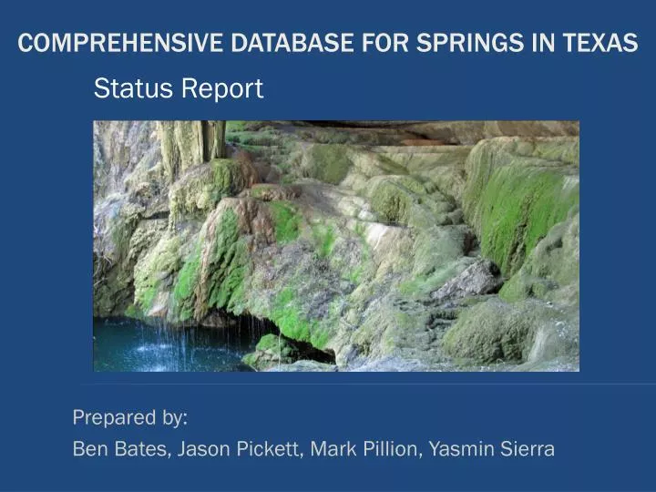
Status Report. Prepared by: Ben Bates, Jason Pickett, Mark Pillion, Yasmin Sierra. Comprehensive Database for Springs in Texas. Introduction Purpose Summary Project Description Progress Problems Conclusion Questions. Overview.

E N D
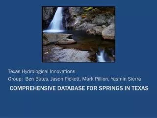
Status Report Prepared by: Ben Bates, Jason Pickett, Mark Pillion, Yasmin Sierra Comprehensive Database for Springs in Texas
Introduction • Purpose • Summary • Project Description • Progress • Problems • Conclusion • Questions Overview
This is a progress report on the status of the Texas springs database compilation as of April 02, 2010 Introduction
Integrate data • Create a comprehensive map-based database • Create a systematic standard • For categorization of spring data • Standard is unique to this study • Convert into a GIS • Allow for further analysis project description
Texas Hydrological Innovations’ Focus So Far • THI has been compiling and cleaning data • Completion of the data compilation for the Zone 1 *At this point THI compiled data for Zone 1 which includes approximately 1000 springs. summary
The database is currently on budget and on schedule. We expect to have the database and final report completed on time by May 05, 2010. status
Work Progression Zone 1: 995 Springs 27 Counties Zone 2: 562 Springs 131 Counties Zone 3: 619 Springs 96 Counties
Task 1. Created a project standard Task 2. Simplified attribute table Task 3. Aggregated primary databases Task 4. Eliminated duplicate data Task 5. Converted latitude/longitude Task 6. Contacted Helen Besse, specialist on springs of Texas Work Completed
Based on attributes that exist, THI created a standard for the categorization of the spring data. • Created by locating commonalities in attributes amongst the primary databases and determining which other attributes are pertinent to the study. Created project standard
Zone 1: Springs Found in more than 1 Database 923 Springs
Zone 1: Springs Found in 1 Database 72 Springs
THI began initial discussions with Helen Besse Issue: The data documented by the Ecological Recovery Foundation does not have spatial reference • Privacy issues exist for some springs • THI will be meeting with Helen Besse to determine how to best incorporate their data THI contacted Helen Besse
THI is currently evaluating the water quality and gathering and analyzing water discharge data. Attributes for Water Discharge • High and Low flow • Average flow discharge • 10th and 90th percentile • Date the data was recorded Current Work in progress
Construct a Piper Diagram • The Piper Diagram will be used to show inorganic chemical characteristics for select springs. • The characteristics will be used to determine the source Aquifers where the Aquifer is unknown. Currently we have water quality for 820 springs. Of those, 48 have unknown aquifers. Future Work
Completion of Zones 2 and 3 • Import data into Arc GIS • We will convert tables currently in Excel format to .dbf files. • Create a user friendly map. • THI will explore the options to create a map that targets users with no GIS experience or ESRI ArcGIS access. Future Work
Complete Final Deliverables • Create metadata • Create a website • CD containing all project components • Poster of project • Power Point presentation • Final Report Future Work
TWDB Elevation Issues • Estimated from a 7.5 minute map • Privacy Issues • Spring location disclosure • Water Quality Data • Missing potassium • Discharge Data • One source (USGS) • Data to be included? Problems
THI has completed • Creation of the project standard • Aggregation of the primary databases (for Zone 1) • Elimination of duplicate data (for Zone 1) • Simplification of the attribute table • Conversion of latitude and longitude (for Zone 1) • Reviewed • Current & future work schedules • Problems • THI is on schedule and the final deadline will be met Conclusion