Download
1 / 14
140 likes | 246 Views
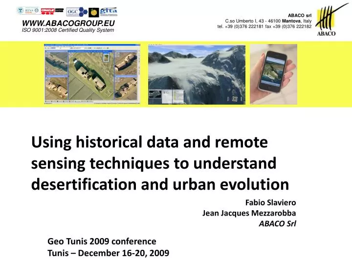
ABACO srl C.so Umberto I, 43 - 46100 Mantova , Italy tel. +39 (0)376 222181 fax +39 (0)376 222182. WWW.ABACOGROUP.EU ISO 9001:2008 Certified Quality System. Using historical data and remote sensing techniques to understand desertification and urban evolution. Fabio Slaviero

E N D
ABACO srl C.so Umberto I, 43 - 46100 Mantova, Italytel. +39 (0)376 222181 fax +39 (0)376 222182 WWW.ABACOGROUP.EUISO 9001:2008 Certified Quality System Using historical data and remote sensing techniques to understand desertification and urban evolution Fabio Slaviero Jean Jacques Mezzarobba ABACO Srl Geo Tunis 2009 conference Tunis – December 16-20, 2009
ABACO srl C.so Umberto I, 43 - 46100 Mantova, Italytel. +39 (0)376 222181 fax +39 (0)376 222182 WWW.ABACOGROUP.EUISO 9001:2008 Certified Quality System Abaco is active since 1990 in the R&D of edge technologies that can be now applied to GIS solutions. In addition to the usual GIS information, we have now solutions to take advantage of spatial data analysis, captured with different acquisition technologies.
Spatial Analysis Understanding reality… More measuring tools… Improve controls…
LiDAR & SAR Vegetations Models
Analysis Tool All information… Merged, analysed, and intersected… Plug-in algorithms, improve statistics…
Analysis Tool • Thresholds • Knowledge • ObjectRegion
Photointerpretation • Statistics • Eroded Area
Vector & 3D Processing Enhanced LPIS PhotoInterpr. Satellite / aerial ExtendedDataset DEMs, LiDAR, ecc. GIS
Conclusion An integrated tool to: • Analyse rasters using knowledge; • Mix raster with known GIS layers; • Open to any new algorithms; • Determining quality parameters, anomalies, changes; • Providing output for further analysis; • Open to support studies on desertification and urban areas evolution.
Thanks Q&A