Download
1 / 15
150 likes | 285 Views
The role of episodic water level variations for the dynamics of Danube Delta coastal zone Sebastian Dan 1,2 and Adrian Stănică 1 1. National Institute of Marine Geology and Geoecology — GeoEcoMar, Romania.

E N D
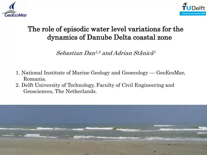
The role of episodic water level variations for the dynamics of Danube Delta coastal zone Sebastian Dan1,2 and Adrian Stănică1 1. National Institute of Marine Geology and Geoecology — GeoEcoMar, Romania. 2. Delft University of Technology, Faculty of Civil Engineering and Geosciences, The Netherlands.
Outline: • Objective • Study zone • Methods • - water level variations • - aerial beach response • Results: • - water level variations • - aerial beach response • Conclusions
1. Objective To identify the most vulnerable beach sectors to the water level variations induced by storm surges: - water level - aerial beach response
2. Study zone Ukraine Danube Delta Russia Romania BLACK SEA BLACK SEA Bulgaria Turkey
2. Study zone 10 km -10m Sulina advance 5-10 m/year Canalul cu sondă erosion up to 20 m/year Câşla Vădanei Sf. Gheorghe Sahalin Zătoane 1 million m3/year Periteaşca migration > 20 m/year Portiţa Inlet -5m erosion 1 m/year
3. Methods • Water level variations: • - numerical modelling. • Process-based numerical model Delft-3D: • - SWAN module waves; • - FLOW module water level variations. • Ten storm scenarios based on 10 years of wind records: • - from north to south-west; • - from 15 to 40 m/s; • - one extreme case.
3. Methods Aerial beach response: - extension of flooding – 10 profiles, 3 years (1995 – 1997) Aerial beach Height 0.67 – 2.52 m MSL Length 13.6 – 93 m
4. Results Sulina (m) x106 4.98 4.97 4.96 4.95 4.94 Sf. Gheorghe 50 45 40 35 30 25 20 15 10 5 0 y coordinate (m) N 4.3 4.4 4.5 4.6 4.7 4.8 x10⁵ x coordinate (m) Water level variations wind direction: north wind speed: 40 m/s Water level variation expressed in centimetres
4. Results x106 4.98 4.97 4.96 4.95 4.94 (m) Sulina 50 45 40 35 30 25 20 15 10 5 0 Sf. Gheorghe y coordinate (m) N 4.3 4.4 4.5 4.6 4.7 4.8 x10⁵ x coordinate (m) Water level variations wind direction: south wind speed: 30 m/s Water level variation expressed in centimetres
4. Results Sulina (m) x106 4.98 4.97 4.96 4.95 4.94 Sf. Gheorghe 50 45 40 35 30 25 20 15 10 5 0 y coordinate (m) c) N 4.3 4.4 4.5 4.6 4.7 4.8 x10⁵ Water level variations wind direction: north-east wind speed: 40 m/s Water level variation expressed in centimetres x coordinate (m)
4. Results Aerial beach response
4. Results Aerial beach response
4. Results Aerial beach response
5. Conclusions -5m -10m • Variability of the water level variation along the Danube Delta coast due to change in the coast orientation. • Largest rates of flooding: Sulina – Sf. Gheorghe area, already vulnerable. • A catastrophic event (north-easterly wind, 40 m/s) would breach the dunes, with significant consequences: - input of the salt water in a fresh water environment; - destruction of infrastructure; - potential flood of parts of the Sf. Gheorghe village. • The floodable inland areas are part of the DD Biosphere Reserve. • Need for rapid intervention on the most vulnerable parts of the Danube Delta coast. Sulina Sf. Gheorghe Portiţa Inlet Sahalin
Acknowledgements EC FP6 no. 044122 project Concepts and Science for Coastal Erosion Management (CONSCIENCE) – numerical modeling. Romanian National Research Core Programmes (1984 – present) the field measurements.