Download
1 / 36
360 likes | 488 Views
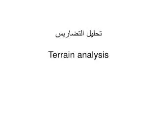
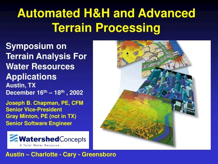
Automated H&H and Advanced Terrain Processing. Symposium on Terrain Analysis For Water Resources Applications Austin, TX December 16 th – 18 th , 2002. Joseph B. Chapman, PE, CFM Senior Vice-President Gray Minton, PE (not in TX) Senior Software Engineer.

E N D
Automated H&H and Advanced Terrain Processing Symposium on Terrain Analysis For Water Resources ApplicationsAustin, TX December 16th – 18th , 2002 Joseph B. Chapman, PE, CFM Senior Vice-President Gray Minton, PE (not in TX) Senior Software Engineer Austin – Charlotte - Cary - Greensboro
Overview of Presentation • Issues Related to Terrain Management • Overview of WISE • Terrain Processing Techniques • Automated Hydrology Functions • Automated Hydraulics Functions • Automated Floodplain Mapping
Terrain Data and Management of Terrain is Key to any Automated H&H Process
LIDAR = LIght Detection and Ranging 20-25 cm RMSE Accuracy WHAT IS LIDAR? Multiple LIDAR Returns Trees (canopy) Bare Earth IF YOU DON’T KNOW THIS YOU MUST HAVE BEEN ASLEEP FOR 2 DAYS!
How Much Data is LIDAR Data? LIDAR Points
How Much Data is LIDAR Data? • One (1) Project Tile: • 20k x 20k (14 Square Miles) • 950,000 Mass Points • 215 MB Shape File
How Much Data is LIDAR Data? 1,228 Tiles in Phase I !! (4 Eastern Watersheds)
What is WISE? • Tool for managing and utilizing data for watershed studies • Provides integration of GIS and standard engineering calculation programs • Modules for: • Terrain Storage • Inventory Management • Hydrologic Analysis • Closed System Analysis • Open Channel Analysis • Water Quality Analysis • Master Planning
WISE is Based on? • Written in Visual Basic with a few DLL’s in C. • Based on ESRI’s MapObjects • Interfaces with Standard Calculation Engines • WISE IS NOT A MODEL
WISE Terrain Module The Terrain module in WISE is an integrated suite of tools that: • Imports terrain data in numerous different formats • Stores and provides quick access to very large amounts of data • Combines terrain data based on user-assigned priorities • Generates TIN’s and DEM’s • Hydrologically corrects the terrain data • Provides the foundation for tools in other modules such as basin delineation and cross section takeoff
WISE Terrain Import • WISE allows the user to import terrain data in numerous formats, including: • LIDAR data • AutoCAD DXF’s • Numerous ASCII formats • WISE stores all of this data in a unique storage system with unlimited storage capacity.
WISE currently stores complete TIN for 15,000 Square miles and growing! (4 + billion points)
Blending of Terrain Data WISE allows the user to combine multiple different types of terrain data based on user-defined priorities
TIN and DEM Generation • WISE creates TIN’s from the blended terrain data • WISE also creates DEM’s, which are later used during the hydrological correction process. These DEM’s can be exported for use in other programs such as ArcView. • Once new Terrain data becomes available, TIN’s can be regenerated for an area without having to recreate the whole model
Hydrological Correction • Typically the most time-consuming part of the project • WISE speeds up this process dramatically by automatically fixing sinks, peaks, and flat areas using its own program, FAUCET • Advantages of FAUCET • Allow for use of unlimited size data sets by tiling data • Handles negative values • Extra precision has been added (not critical for NED Data) • Doesn’t Fill Sinks! – This is important in preserving integrity of as much of the data as possible
Tools that use the Terrain Output • Hydrology: Raindrop Tool, Drainage Area Tracking, Basin Delineation, Time of Concentration Calculation • Hydraulics: Cross Section Placement, Cross Section Takeoff • Water Quality: Spill Response Modeling
Compatibility/Usability of Results • Manage TIN in WISE – export to any program that accepts dxf or shapefile • Generate a hydrologically correct DEM that can be used by any program that can except standard data formats • Standard GIS and CADD programs do not have to store the data
Automated Hydrology Tools WISE has numerous tools that help a user manage and create hydrologic data including: • Automatic Basin Delineation • Automatic Time of Concentration Calculation • Curve Number Calculation • HEC-1/TR-20 model creation
Basin Delineation WISE will allow a user to automatically delineate basins based on a target basin size
Time of Concentration Calculation • WISE will automatically determine the longest TC for a basin based on longest flow length or longest flow time • WISE currently allows the user to calculate TC’s based on 5 different methods, including SCS TR-55 • WISE also determines Routing Time of Concentration flowpaths, and calculates the stage/storage curves for each routing
Curve Number Calculation WISE will calculate Curve Numbers for a given set of basins
Hydrologic Model Creation WISE will automatically create a complete hydrologic model for a given area
Automated Hydraulic Tools WISE has numerous tools that help a user manage and create hydraulic data including: • Automatic Cross Section Placement • Cross Section and n-value takeoff • HEC-RAS model creation • Floodplain mapping • Flood profile creation
Feature Code Library Standard Code Library has been used for thousands of structure surveys
Efficient Management of Terrain Data Make All These Other Processes Possible • Hydrology: Raindrop Tool, Drainage Area Tracking, Basin Delineation, Time of Concentration Calculation • Hydraulics: Cross Section Placement, Cross Section Takeoff • Water Quality: Spill Response Modeling
QUESTIONS? www.watershedconcepts.comwww.ncfloodmaps.com Austin – Charlotte - Cary - Greensboro