Download
1 / 20
200 likes | 350 Views
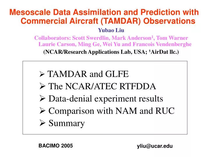
Mesoscale Data Assimilation and Prediction with Commercial Aircraft (TAMDAR) Observations. Yubao Liu Collaborators: Scott Swerdlin, Mark Anderson 1 , Tom Warner Laurie Carson, Ming Ge, Wei Yu and Francois Vendenberghe (NCAR/Research Applications Lab, USA; 1 AirDat llc.). TAMDAR and GLFE

E N D
Mesoscale Data Assimilation and Prediction with Commercial Aircraft (TAMDAR) Observations Yubao Liu Collaborators: Scott Swerdlin, Mark Anderson1, Tom Warner Laurie Carson, Ming Ge, Wei Yu and Francois Vendenberghe (NCAR/Research Applications Lab, USA; 1AirDat llc.) • TAMDAR and GLFE • The NCAR/ATEC RTFDDA • Data-denial experiment results • Comparison with NAM and RUC • Summary BACIMO 2005 yliu@ucar.edu
Temperature Moisture (two RHs) Winds Pressure GPS height Icing Turbulence Others TAMDAR Tropospheric Airborne Meteorological DAta Reporting
Motivations for TAMDAR Upper-air data are sparse and limited • Radiosondes: only observe twice daily • Satellite winds: single layer, clustered • ACARS: mostly at upper-troposphere • Wind profilers: low-spatial density • Indirect satellite and radar obs: exploratory • Insufficient lower-level moisture observation TAMDAR is to fill the upper data gaps with high-frequency and high-density lower level soundings and plane observations
GLFE – Great Lakes Field Experiments 15 Jan -15 Jul 2005 Mesaba SAAB 340: 63 equipped ~400 flights a day between 75 airports ~20k obs a day
The NCAR/ATEC RTFDDA System • PSU/NCARMM5 / WRF based, • Multi-scale: meso-g meso-a (dx = 0.5 – 45 km), • Rapid-cycling: flexibly at intervals of 1 – 12 hours, • FDDA:4-D continuous data assimilation, • Forecast( 0 – 48 hours), and • Real-time, retrospective and relocatable. Main objective:To produce best-possible real-time local-scale analyses and nowcasts/forecasts by effectively combining a full-physics mesoscale model with all available observations
Related BACIMO presentations • First introduced on: BACIMO-2001 • Enhancements and applications: BACIMO-2003 • WRF-transition: 2.08 (Knieval) • Feature-based verification:P2.04 (Rife) • Athens Olympics: 5.06 (Hahmann) • Probabilistic forecasts: 5.08 (Hacker) • Application modeling: 5.09 (Sharman) • 4DWX-on-MOVE (GMOD): 5.10 (Betancourt) • Global Climate Analysis Tool: P5.10 (Vendenberghe)
Wind Prof ACARS GOES All WMO/GTS Radars t FDDA Forecast MESONETs TAMDAR Etc. 4-D Continuous Data Assimilation and Forecast New 12 - 48 h forecast every 3 hrs, using all obs up to “now” RTFDDA Regional-scale model, based on PSU/NCAR MM5 /WRF Cold start
t Coldstart FDDA Forecasts RTDDA: Advantages of Continuous Relaxation • Allows to use all synoptic and asynoptic observations. In particular, it allows to fully weight time-space irregularly distributedobservations, such as TAMDAR data, according to the observation time, location and quality; • Mitigates dynamics and cloud/precipitation “spin-up” problem that exists in all cold-start operational models. Both properties are critical for mesoscale analyses and short-term (0-12 hour) forecasts.
DX=36km D1 Two real-time RTFDDA systems AIRDAT: with TAMDAR AIRNOT: w/o TAMDAR DX=12km D2 D3 D3: 400x400 km2
RTFDDA Observations: A Snapshot Sndgs Prof Sat Aircraft AirDat 850 hPa > 600 hPa SFC 00Z June 24 2005 Sat Aircraft Sat Aircraft 600 - 350 hPa < 350 hPa
RTFDDA NO-TAMDAR 04Z, 20041111, 3h-fcst RTFDDA with TAMDAR 04Z, 20041111, 3h-fcst WSR-88D Reflectivity 0419Z, 20041111 Frontal rainband (2) Nov. 11, 2004 Model 3-h forecasts
Weak snowbands (1) 00Z, Dec. 09, 2004 Radar reflectivity Without TAMDAR With TAMDAR RTFDDA 1h forecasts WSR-88D
Without TAMDAR Snowbands 18Z, Feb. 02, 2005 Radar reflectivity RTFDDA Analyses WSR-88D With TAMDAR
Daily Evolution of Forecast errors At 850 hPa Between Jan. 29, 2005 And Feb. 20, 2005 T DIR Q SPD With TAMDAR W/O TAMDAR RH
Temperature 12h fcst Domain 2 Jan. 28 – Feb. 6 2005 6h fcst Analysis Water Vapor Mixing Ratio Vector Wind Difference Key: W/O TAMDAR WITH TAMDAR
Rainbands:15Z, March 12, 2005,1-h accu. rain (mm) RTFDDA 4h Forecast Stage IV RUC-13km 3h forecast WSR-88D
Rainbands 21Z, March 12, 2005 3-h accu. rain (mm) RTFDDA presents better Distribution and structures RTFDDA 10h Forecasts NAM-218 9h forecast Stage II
Comparison of 3 hr Rain, valid at 20050815, 00Z 7h fcst StageIV RTFDDA 6h fcst 6h fcst NAM218 RUC13
Summary • TAMDAR data are evaluated with the NCAR RTFDDA system through data-denial experiments for mesoscale analyses and forecasts. • A general positive impact of TAMDAR was found in the analyses and forecasts of upper-air variables and surface precipitation. • RTFDDA analyses and 1 – 12h forecasts of surface precipitation with TAMDAR data outperform NOAA RUC and NAM running at similar resolutions. • The benefit of TAMDAR appears to fluctuate significantly with weather situations. • On-going work: study TAMDAR impact on cloud-scale models; optimize TAMDAR data assimilation algorithms; and provide modeling guidance for the next- phase, broad-scale TAMDAR implementation.