Download
1 / 33
330 likes | 453 Views
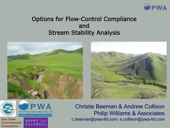
Options for Flow-Control Compliance and Stream Stability Analysis. Christie Beeman & Andrew Collison Philip Williams & Associates c.beeman@pwa-ltd.com; a.collison@pwa-ltd.com. Dan Cloak Environmental Consultants.

E N D
Options for Flow-Control Compliance and Stream Stability Analysis Christie Beeman & Andrew Collison Philip Williams & Associates c.beeman@pwa-ltd.com; a.collison@pwa-ltd.com Dan Cloak Environmental Consultants
Post-project runoff peaks and durations must not exceed pre-project levels if an increase could cause erosion or other significant effects on beneficial uses. Flow Control Standard
Establish a clear standard Provide options for compliance Encourage LID Provide the tools Dive in! Contra Costa Approach
No increase in directly connected impervious area (or drainage efficiency) Implementation of flow control IMPs Runoff does not exceed pre-project flow peaks and durations Projected increases in runoff peaks and durations will not accelerate erosion of receiving stream Flow Control Compliance Options
(Stormwater C.3 Guidebook: Appendix D) No increase in directly connected impervious area (or drainage efficiency) Site design to minimize imperviousness and retain/detain runoff (LID approach, Ch. 3) Inventory of existing vs proposed impervious area Qualitative comparison of pre- vs post-project drainage efficiency; describe: Design of self-retaining areas & treatment IMPs, OR Decreased time of concentration and runoff volume Flow Control Compliance Options
Implementation of flow control IMPs Select and size IMPs following C.3 Guidebook procedure Flow Control Compliance Options
Runoff does not exceed pre-project flow peaks and durations Continuous simulation hydrologic modeling to demonstrate peak and duration control Duration standard: 0.1Q2-Q10, post-project below pre-project (allowance: <10% exceedance over <10% of the simulation) Peak flow standard: 0.5Q2-Q2, post-project below pre-project; Q2-Q10, 10% allowance for 1-year interval Flow Control Compliance Options
Projected increases in runoff peaks and durations will not accelerate erosion of receiving stream Assess vulnerability of receiving stream to hydrograph modification impacts: 4.a Low Risk – stream not vulnerable, project complies 4.b Medium Risk – stream currently stable, but accelerated erosion cannot be ruled out; propose in-stream measures to mitigate for increased runoff 4.c High Risk – stream unstable under current conditions, vulnerable to increases in flow peak/duration; propose comprehensive in-stream restoration (or flow control) Flow Control Compliance Options
Comprehensive geomorphic assessment Project larger than 20 acres? Yes No No Comprehensive analysis; possible restoration plan 4.c High Basic geomorphic assessment 4.b Medium In-stream mitigation plan Yes 4.a Low Complies with HMP Assess stream vulnerability to erosion Is channel continuouslyhardened, tidal ordepositional between outletand bay? Municipal staff and RWQCB must be involved EARLY ON in the development of any in-stream mitigation plan
4a.Low Risk – demonstrate stream channels between the project and the Bay/Delta are: Enclosed pipes – storm drain map or other municipal data Hardened bed and banks – field reconnaissance, CCFCD Tidally-influenced – channel elevation, field recon. Aggrading – inspection by qualified professional; CCFCD Assess stream vulnerability to erosion
4b. Medium Risk basic geomorphic assessment to document risk class Propose appropriate in-stream mitigation measures Subject to regulatory review/approval Assess stream vulnerability to erosion
4c. High Risk Basic geomorphic assessment to make initial determination Comprehensive geomorphic assessment for mitigation planning High standard for in-stream mitigation Assess stream vulnerability to erosion
Wide, shallow channel – little increase in shear stress with Q. Q2 dissipates over floodplain Narrow, deep channel – large increase in shear stress with Q. Q2 confined in channel. Basic geomorphic assessment Increasing vulnerability Shear stress sensitivity
Basic geomorphic assessment Channel Resistance Increasing channel vulnerability Coarse sediment and vegetated channel - less erosion-prone Fine sediment and unvegetated channel - more erosion-prone
Basic geomorphic assessment Increasing vulnerability resistant sediment, not very entrenched non resistant sediment, not very entrenched Increasing channel vulnerability resistant sediment, highly entrenched non resistant sediment, highly entrenched
Basic geomorphic assessment • Assessed 20 stream sites in Contra Costa County • Use best professional judgment to make initial risk assessment • Measured numerous relevant field parameters • Identified type and thresholds of field data that objectively led to same results as the professional judgment
Field Reconnaissance Marsh Creek near Oakley Low gradient flood channel Low Risk Note however: channel misclassified as riprap in GIS (applicants will need to ground truth)
Field Reconnaissance Marsh Creek near Marsh Creek reservoir Low-moderate gradient, natural channel, eroding outside bends Medium Risk Some excess energy can be expended on floodplain and vegetation, but limited potential for lateral erosion
Field Reconnaissance Upper Marsh Creek medium gradient, confined channel High Risk Excess energy directed to eroding bank
Basic geomorphic assessment – Primary Indicators Entrenchment Ratio = (Floodprone Width*) / (Bankfull Width) Floodprone width = width at 2 x bankull depth Floodprone width ER > 1.6 – risk class is “Medium” channel is non entrenched Bankfull depth Bankfull width Floodprone width ER < 1.6 – risk class is “High” channel is entrenched Bankfull depth Bankfull width
Basic geomorphic assessment – Primary Indicators Entrainment ratio = (shear resistance)/(shear stress) If ER > 2.0 risk class is “Medium” - channel is stable under existing flows but may erode under higher flows If ER < 2.0 risk class is “High” - channel is unstable under existing flows and will erode under higher flows AvBoundShearStress = g.HR.s
Basic geomorphic assessment – Secondary Indicators • Active bank erosion class • Sediment reduction impact • Channel width/depth ratio • Schumm channel classification bank erosion: medium bank erosion: high bank erosion: low
Basic geomorphic assessment If both primary criteria indicate the same vulnerability class, that class is adopted. If primary criteria disagree, use preponderance of secondary criteria. In 2/3rds of cases (n=20) the primary criteria led to a decisive result that was in agreement with the field judgment
Mitigation on ‘medium’ and ‘high’ risk streams • Basic assessment can provide some guidance on mitigation, but more assessment and design analysis will be needed • Modify channel so that attributes indicate greater stability – e.g. lower floodplain to reduce entrenchment ratio, - e.g. increase sinuosity to reduce entrainment ratio
Mitigation on a ‘high risk’ stream Create floodplain to reduce shear stress sensitivity and increase habitat function
Mitigation on a ‘high risk’ stream Grade controls - lower channel gradient and reduce entrainment ratio. Three years later Immediately after installation
Mitigation on a ‘medium risk’ stream Floodplain lowering – reduces shear stress and creates habitat
Mitigation on a ‘medium risk’ stream Root wad revetment – increases resistance, reduces shear stress and creates habitat Combination of root wad revetment and willow mattress
For small projects, relatively simple field indicators can be used to quickly classify the majority of streams into risk categories Larger projects and/or more complex stream systems require more sophisticated approaches Mitigation should address the underlying cause of erosion, not just harden eroded areas Early involvement of municipal staff and regulatory agencie is key to approval of in-stream mitigation projects Summary