Download
1 / 13
130 likes | 277 Views
Case study; from acquisition to REDD+ - reporting. Dr Pete Watt pete.watt@indufor-ap.com Andrew Meredith andrew.meredith@indufor-ap.com. Team Overview. GFC (Guyana) Project Coordinator Pradeepa Bholanath FRIU RS/GIS team leader Jeff Pickering (secondment from IAP)

E N D
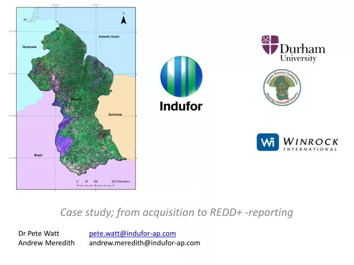
Case study; from acquisition to REDD+ -reporting Dr Pete Watt pete.watt@indufor-ap.com Andrew Meredith andrew.meredith@indufor-ap.com
Team Overview GFC (Guyana) Project Coordinator Pradeepa Bholanath FRIU RS/GIS team leader Jeff Pickering (secondment from IAP) Indufor Asia Pacific (IAP) Project coordinator/ Technical lead Pete Watt Remote sensing/ Development Andrew Meredith IPCC Reporting Dr Rosa Rivas Palma University of Durham Accuracy assessment team leader Prof. Danny Donoghue Winrock International Design of the Forest Carbon Monitoring System Dr Sandra Brown Det Norske Veritas(DNV) External project auditors MRVS Technical Sub-Committee EPA Responsible for the promotion, facilitation and coordination of effective environmental management and protection and the sustainable use of Guyana's natural resources GL&SC Management of land titling and surveying of land GGMC Management of mining and mineral resources GFC Management of forest resources
Guyana - Overview Known • Change drivers • Small population • Largely forested (18.3 million ha) • Clear and very supportive organisational structure • Agencies proficient in GIS Challenges • Historical time series limited & cloudy • No definitive baseline information to start with • Strict reporting timelines • Imaging period constrained • Large areas inaccessible • A need to develop routines and implement operationally
Guyana MRV Development • 2011- Year 1 • Determining the forested area • Setting the 1990-2009 Change baseline • Accuracy of Mapping & Change 97% • 2012 – Year 2 • Degradation process implemented • Batch processing of 300+ RE tiles to a change product • Accuracy of Mapping & Change 97% • 2013 – Year 3 • 100% country coverage with RE • Integration of Shifting cultivation • Integration of Afforestation monitoring • Base mapping improvements / Automation • Tier 3 & Approach 3 run operationally in parallel to the MRV this year
Guyana’sMRVs Process Image order GIS datasets Spatial data Forest Definitions Interim measures & IPCC requirements R&D Image processing & Analysis Method development & field testing Reporting: Deforestation Degradation Afforestation Public consultation External Audit / verification External Accuracy assessment Guyana Report: http://www.forestry.gov.gy/news.html
Datasets • Due to cloud can’t rely on a single dataset
Image Process Flow Focal point: Design a flow that copes with Cloudy data and can be incorporated into existing GIS workflows.
Mapping Approach : Customised Tools Developed Remote sensing Tools GIS Tools • Developed based on 2 years operational research and customised to suit local working • environments. • The result means standardised outputs and processes which allow effective reporting
Degradation Mapping Default position Interim measures 500 m buffer applied to deforestation events 50% of carbon stocks lostdue to degradation. The approach taken in Year 2 was to estimate the area of degradation surrounding new infrastructure with the 5 m RapidEye satellite imagery
Change Rates & Trends Forest to non-forest change 1990- end 2011
Where Next • Development of methods to monitor and map shifting cultivation. The focus of this will be to monitor the temporal change of shifting cultivation plots. • Spatial mapping of forest harvesting activities and potential development of linkages to log extraction information. • Development of methods to map afforestation resulting from regenerating non-forest areas. A study to evaluate the ability of multi-temporal high resolution data to detect regeneration. • Improvements in existing data layers such as the non-forest layer (naturally occurring) and historical pre-Year 2 change layers. • Development of GIS-based reporting tools to allow further automation of forest change reporting. • Integration of carbon measurements with spatial datasets to create activity-specific look-up values. • Development of the MRVS to ensure repeatability in calculations and improved documentation of datasets and processes. • Further training will also be undertaken with a full-time Remote Sensing specialist embedded in GFC’s Forest Resources Information Unit (FRIU).
Resource Mapping & Climate Change Indufor Asia Pacific Ltd Auckland City New Zealand www.indufor-ap.com Indufor OY Helsinki Finland www.indufor.fi