Download
1 / 36
360 likes | 483 Views
Energy Landscapes Thomas Blaschke et al. Centre for Geoinformatics (Z_GIS). Interdisciplinary centre @ University of Salzburg Experts for the spatial view Understand spatial phenomena , their causes and mutual relationships as well as their temporal dynamics

E N D
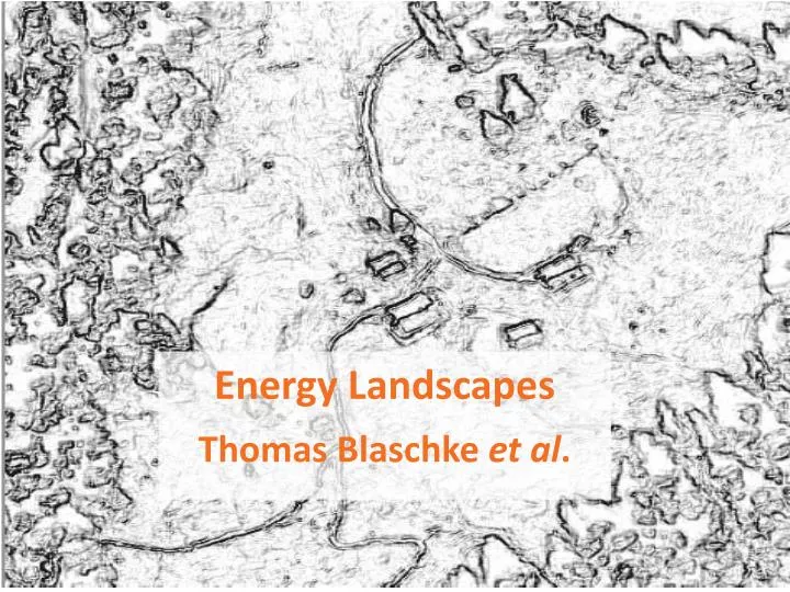
Energy Landscapes Thomas Blaschkeet al.
Centre for Geoinformatics (Z_GIS) Interdisciplinary centre @ University of Salzburg Experts for the spatial view • Understand spatial phenomena, their causes and mutual relationships as well as their temporal dynamics • Generic tools and integrated workflows for effectively transforming complex geospatial data into policy-relevant information • Transparent and transferable means for management and monitoring of current states and trends Knowledge Cycle
GI @ Salzburg Centrefor Geoinformatics Z_GIS, Salzburg University Research Studio iSPACE Austrian Academyof Sciences, Depmt. GIscience Cluster of excellence in Geoinformatics and GIScience
Counting lines Borders may habe positive or negative effects
LiDARscapes: a way to quantify biomass 7 Forestry: species, individual snags, seed trees, culturally modified trees, tree height, crown diameter, crown density, biomass, carbon content, etc Integration of Quickbird and LiDAR - DCM (1m)
technically nearly unlimited Courtesy: M. Neubert & ÖBB
Motivation surfacemetrology … scale-dependent LiDAR: structures to be characterized by means of surface characteristics Orchard Afforestation Acre with groves Meadow with fruit trees Acre Wood with a closed vertical structure Residential area with gardens Inner city Wood with a differentiated vertical structure Wood with clearance Courtesy: Sebastian Hoechstetter, IÖR
Sustainablelandscapesparadigm Haines-Young (2000) suggested a new paradigm for landscape ecology based on the concept of natural capital: sustainable landscapes. It reflects the increased human influence on landscapes and the increasing demand to reveal the human population as part of the landscape. current landscape models are mainly science-based and these models cannot define in any complete sense an optimal or sustainable landscape. He argues that in order to deal with landscape sustainability we must recognise that in any situation there is a whole set of landscapes that are more or less sustainable, in terms of the outputs of goods and services that are important to people.
Design with Nature Isn’t the Sustainable paradigm one step back?
Canwebasethe ‚sustainablelandscapes‘ idea on thepatch-matrixconcept?
Landscape functions (individual layers) Spatialapproach: building on theobjects(here: raster cells) ‚sustainability value‘ Balance value for each cell Includingneighbouring effect
.. aggregated to spatial units (e.g. raster) ‚cost‘ calculation Infrastructure (e.g. streets, pipes, etc.) political borders topography Spatial data ..
Raster Dataset Corridor Buffer [manydetailsskippedhere …] Eg. border effects ….
flows to equalize balancies [manydetailsskippedhere …] Linear optimization ….. Balance value in each single unit Spatial unit A Spatial unit C Spatial unit B Objective function: Minimise
timestep i Capacity (variable) c å å " h - ³ i : a a 0 i n Activity (variable) a i o u t i Storage (variable) sc Sink (‚usage‘)(constant) d h Loss/efficiency (constant) " h - ³ i a d : 0 i i " - ³ i : c a 0 " - ³ i : c a 0 i source (linear) i " - ³ i : c a 0 " - ³ i : c a 0 i i " h × - ³ i : a a 0 i i o u t i " - ³ i : c s c 0 " - ³ i i : c a 0 " - ³ i c a : 0 " - - + ³ i i : s c s c a a 0 i + i 1 i i n o u t i i source(temporary) " - ³ i c a : 0 i sink (temporary) " - ³ i : c a 0 i " h × - ³ " h - ³ i : a a 0 i a d : 0 o u t 1 i o u t 1 i i i i " h × - ³ i : a a 0 o u t 2 i o u t 2 i i object function e.g. costs to be optimized å å å × + × a c $ $ a i c Use existing opimization functions and models P r o z e s s e i P r o z e s s e Landscapes as systems (here: with linear relationships) distribution sink Adoptedfromenergysystemmodelling storage
Questions • WHERE mayweutilizewhichreneuwalbeenergy potential? • WHERE existswhichdemandforelectricityandheat? • WHERE aremeaningfulenergyregionswherelocaleffortsaretobecoordinatedto a biggerwhole?
Exampleof an energyregion „Energieregion Rhein-Sieg“
energy potential biogas Statistics & geographic baseline data Energy yield per raster cell energy yield modelling spatial disaggregation
Biogas model – disaggregation(example) Bioticwaste per municipality Population data (raster) Region / studyarea Spatialdisaggregation: Combination of statisticdata(raster) and otherspatialdata (vector) (Steinocher et al. 2005) disaggreteddatabioticwaste
biogasmodel – demandside • Heating & waterheating • Private houses • All others (Model Dorfinger 2007) distance to existing gas pipeline Nitrogencapacity
Biogas Model – indexing Input GIS-analysisnetworkanalysis Intersetion, Aggregation Etc. Index map
Biogas Model – GIS analysis some details • Networkanalysis • distance • alongroads • substratespecificthresholds • Overlay • Integration of different layers (allocation/serviceareas& substratepotentials)
Resultsscenario 1A Examplesofdetailedanalyses: 18,000 Heating carriers mix 16,000 14,000 12,000 10,000 Energy[MWh/a] 8,000 • >90 % of biomass from outside the municipality 6,000 4,000 2,000 0 2010 2015 2020 2025 2030 2035 2040 Localheating (woodchipsandbiogas) Central heatingtimber Central heatingwoodenpellets Central heatingoil Central heatingcoal Central heatingwoodchips Demand built-upareas, singlehouses Demand villages, towns Demand towncentre