Download
1 / 12
130 likes | 439 Views
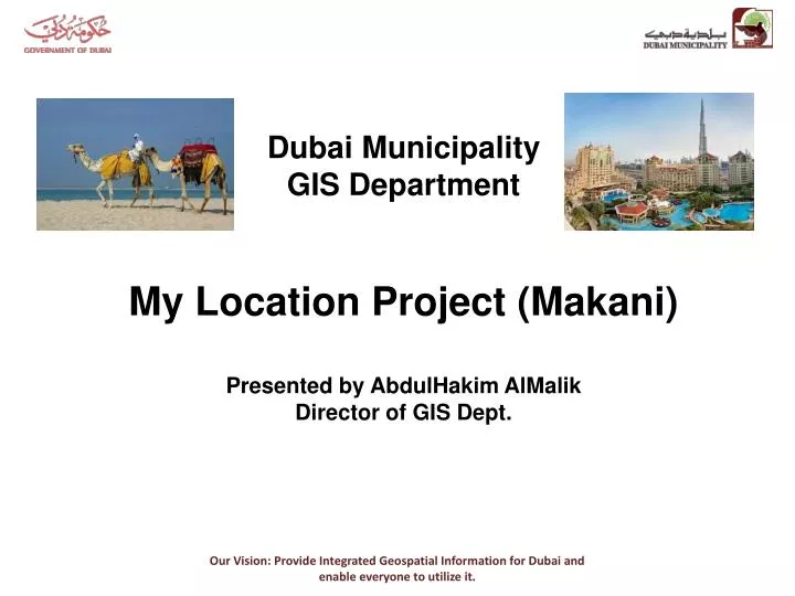
Dubai Municipality GIS Department My Location Project (Makani) Presented by AbdulHakim AlMalik Director of GIS Dept. About us. Dubai Municipality GIS Department. My Location Project Goal. Strengthen the weakness of the addressing system. What made the addressing system weak?.

E N D
Dubai Municipality GIS Department My Location Project (Makani) Presented by AbdulHakim AlMalik Director of GIS Dept. Our Vision: Provide Integrated Geospatial Information for Dubai and enable everyone to utilize it.
About us Dubai Municipality GIS Department Our Vision: Provide Integrated Geospatial Information for Dubai and enable everyone to utilize it.
My Location Project Goal Strengthen the weakness of the addressing system Our Vision: Provide Integrated Geospatial Information for Dubai and enable everyone to utilize it.
What made the addressing system weak? Our Vision: Provide Integrated Geospatial Information for Dubai and enable everyone to utilize it.
GIS to the rescue Our Vision: Provide Integrated Geospatial Information for Dubai and enable everyone to utilize it.
Plate Design Project name Country logo Emirate Internet address URL in Arabic Coordinate Building or unit code QR code Project partner logo Our Vision: Provide Integrated Geospatial Information for Dubai and enable everyone to utilize it.
Why MGRS MGRS: 40R CN 30002 95324 UTM: 40N 330002 2795324 Lat Lon (decimal): 25.26468 55.31187 Lat Lon (d,m,s): 25°15'52.8"N 055°18'42.7“E Our Vision: Provide Integrated Geospatial Information for Dubai and enable everyone to utilize it.
Flexibility 10 Sq M: 3-9 1000 Sq M: 30-95 100 Sq M: 300-953 10 Sq M: 3000-9532 1 Sq M: 30002-95324 Our Vision: Provide Integrated Geospatial Information for Dubai and enable everyone to utilize it.
Our Vision: Provide Integrated Geospatial Information for Dubai and enable everyone to utilize it.
Our Vision: Provide Integrated Geospatial Information for Dubai and enable everyone to utilize it.
Garmin Our Vision: Provide Integrated Geospatial Information for Dubai and enable everyone to utilize it.
Thank you Our Vision: Provide Integrated Geospatial Information for Dubai and enable everyone to utilize it.