Download
1 / 20
200 likes | 206 Views
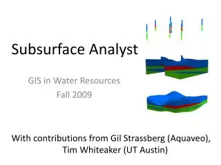
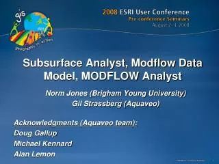
Hydrostratigraphy and Subsurface Analyst. Arc Hydro GW Data Model. Hydrostratigraphy. Hydrogeologic units. Stratigraphic units are usually grouped into hydrogeologic units An aquifer can have a number of hydrogeologic units

E N D
Hydrogeologic units • Stratigraphic units are usually grouped into hydrogeologic units • An aquifer can have a number of hydrogeologic units • Definition may change based on scale (local vs. regional) and purpose Hydrogeologic units Stratigraphicunits Upper confining unit Georgetown Fm. Georgetown Fm. (GTOWN) Cyclic + Marine member (CYMRN) Pearson Fm. Leached + collapsed member (LCCLP) Edwards Aquifer Regional dense member (RGDNS) Grainstone member (GRNSTN) Kirschberg evaporite member (KSCH) Kainer Fm. Dolomitic member (DOLO) Basal Nodular member (BSNOD) Upper Glen Rose (UGLRS)
HydrogeologicUnit table • HydroGeologicUnit table provides a conceptual description of hydrogeologic units • Each unit is indexed with a HydroID • AquiferID relates to Aquifer features • Units can be indexed with a HorizonID
HydrogeologicUnit table • Hydrogeologic units are described with different spatial instances (outcrops, borehole intervals, surfaces, cross sections, and volumes) • HGUID of spatial features relates to the HydroID in the HydrogeologicUnit table HydroID HGUID
GeoArea • 2D polygons defining boundaries of hydrogeologic units • GeoArea is related to the hydrogeologic units in the table through the HGUID attribute
SectionLine and GeoSection • SectionLine defines the 2D cross section • GeoSection represents 3D sections as 3D features (ArcScene) • SectionID of the polygon relates back to the HydroID of the section line N 1
SectionLine and GeoSection A’ B B’ A
GeoVolume • GeoVolume represents 3D volumes (visualized in ArcScene) • Geometry is multipatch - Can create the volumes as a 3D triangulation
GeoRasters • Raster catalog for storing and indexing raster datasets • Can store top and bottom of formations • Can be related with a HGU in the hydrogeologic unit table HorizonID – gives the depositional sequence
K (feet/day) GeoRasters GeoRasters also store hydraulic properties such as transmissivity, conductivity, and specific yield Raster of hydraulic conductivity in the Edwards Aquifer
Represents the depositional sequence Numbered from bottom to top HorizonID
Horizons method 4 • Fill from the bottom up • Options to clip and fill between surfaces 3 2 1
Horizons method 4 3 2 1
Horizons method 4 3 2 1
Tools for creating 3D features Use the HorizonID concept with clip and fill options GeoSections GeoVolumes
Hydrogeologic Unit Color Manager Control the symbology of multiple layers based on a common hydrogeologic identifier
Subsurface Analyst Demo Building 3D hydrogeologic models