Download
1 / 15
150 likes | 271 Views
Alaska Statewide Digital Mapping Initiative. Goal: Map the entire State for digital elevation models and ortho-imagery Make products available to public / private interests to support economic development. MOU Signatories. Dept. of Military & Veterans Affairs

E N D
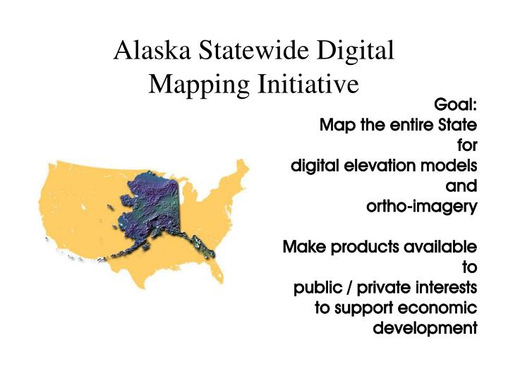
Alaska Statewide Digital Mapping Initiative Goal: Map the entire State for digital elevation models and ortho-imagery Make products available to public / private interests to support economic development
MOU Signatories Dept. of Military & Veterans Affairs University of Alaska - GINA Dept. of Natural Resources
build geographic information partnerships in Alaska leverage resources promote the visions and goals of the National Spatial Data Infrastructure serve as the technical advisory committee to the Alaska Land Managers Forum
Project Funding • $33.3 Million Requested over 3 years • 25% State Funding 75% Federal Funding • $2.0 Million State GF Funded in FY07 • Federal Funds Pending – DOD-NASA
Elevation (inaccurate) Complete Hydrography Geodetic control Bathymetry Cadastral Transportation In progress Governmental Units Landcover Elevation (accurate) Does not exist Digital Orthoimagery Base Map Data Framework
Alaska’s Existing High Resolution Ortho-Imagery Plus 12 mountain passes From DMVA not shown ~ 4% of state
General Acquisition Priority AreasFrom Alaska Geographic Data Committee, Ortho-Imagery Sub-Committee
Color swaths indicate the number of times the area was imaged by SRTM 1 2 3 4 ? 0
Specifications 1.0 to 2.5 meter Statewide 0.5 – 1 meter High Resolution Urbanized area, native villages, major transportation corridors and the Trans-Alaska & Gas Pipelines ~ 10% of the State for ‘Hi-Res’ USGS Quarter-quad format Meets National Map Accuracy Standards North American Datum 1983
Uses of digital elevation data: Geometric corrections for orthoimagery Derive topographic information • contours • solar insolation • aspect • drainage • watershed • slope • landform
Alaska Control Network Needs Attention for High-Resolution Imagery
1. Public Domain – Open Use 2. Central Core Storage –GINA 3. Decentralized Storage-Users 4. Live Access via OpenGIS Protocols and Internet – Multiple Sources for Mapping
Key Points Alaska needs a new basemap. The paper based maps from USGS are no longer meeting our needs. Spatial data infrastructure has significant economic benefits to the community. Benefit-Cost ratios have been as high as 9 : 1