Download
1 / 26
950 likes | 2.12k Views
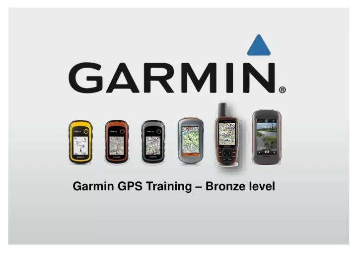
Garmin GPS Training – Bronze level . What is GPS? . The Global Positioning System (GPS) was developed by the United States Department of Defense as a reliable means for accurate navigation. It is based on a network of 24 active satellites .

E N D
What is GPS? • The Global Positioning System (GPS) was developed by the United States Department of Defense as a reliable means for accurate navigation. • It is based on a network of 24 active satellites • They orbit the earth at a very high altitude of approximately 12,500 miles. • GPS Satellites circle the earth twice a day in a very precise orbit • They transmit signals to earth. • GPS receivers take this information and use triangulation to calculate the user's exact location
How GPS works • Using GPS technology you can determine • Location (Where you are) • Velocity (Speed you are travelling) • Time • It can be used 24 hours a day, 365 days a year in any weather conditions anywhere in the world. • GPS Receivers are line –of- sight instruments • For optimum performance, they need to see the sky • Its totally FREE to use
How can GPS help you? • A GPS Can give the answers to the following How do I get there? Where Am I? How fast am I going? Where should I be? Where did I go last time? Am I on Course?
Getting a position Fix (2D and 3D fixes) • A GPS receiver must be locked on to the signal of at least three satellites to calculate a 2D position • (latitude and longitude) and ability to track movement. • With four or more satellites, the receiver • can determine the user's 3D position • = (latitude, longitude and altitude). • Horizontal and Vertical Positioning • Once the user's position has been determined, the GPS unit can calculate other information, such as speed, bearing, track, trip distance, distance to destination, sunrise and sunset time and more.
The accuracy of GPS • A GPS Will give you current position accuracy • Typically +/- 15 metres95% of the time • Less than 7 metres 50% of the time 5 Metres • +/- 4-5 metres : Typical positioning of new generation GPS Receivers. Example of 5 Metre Accuracy
All GPS Receivers offer the following • Waypoints • Routes • Tracks • Goto’s • Track Logs • Trackback • Headings and Bearings • Digital Maps
What is a Waypoint? • Waypoints are chosen positions, points, co-ordinates or landmarks on the surface of the earth. • They may be check points on a route or significant ground features, such as a camp or car park, a fork in a trail, or a favourite viewpoint. • Waypoints can be stored on a GPS Receiver and on a computer. • These are also locations you may want to return to later. • Also, waypoints may be entered directly by marking a point at the current position of the unit, giving it a name, and then saving the point.
What is a GoTo? • A GOTO is a route consisting of one leg - Straight line navigation or as the crow flies • With your current position being the start of the route. • And a single defined waypoint as the destination.
What is a Route? A route is a series of waypoints and GOTO’s – linked together to create a path to follow.
What is a Track? • A route is a series of waypoints and GOTO’s – linked together to create a path to follow.
What is Track Log? • Track Logs are points automatically stored when you are moving • It’s the electronic equivalent of laying down a “breadcrumb” trail to mark your path • These points will be strung together on the map page to see where you have been.
What is TracBack? • TracBack is a feature that allows you to return along a previously travelled path or route without marking any waypoints • When you are ready to return to where you started from, the GPS will look at the 100’s or 1000’s of tracklog points • It then take the most significant 30 points and turns them into a route to lead you back to your starting point
Why Choose Garmin GPS Receivers? • Heritage and brand quality – We make GPS. • Garmin design and manufacture all of their products. • Designed and tested for Outdoor use • Fully Waterproof • All Garmin Outdoor GPS use easily accessible Batteries – AA or AAA • All Garmin products are designed to be Intuitive and easy to use. • Unrivalled after sales support – UK Based Call Centre • .......... So why wouldn’t you?
eTrex 10 – Personal GPS • Design: • 2.2 inch screen • 6 Button design. • PC Connection: • Supplied with USB Cable for easy interface • Geocaching: • Great entry level device for Geocachers. • 1000 Waypoints • 50 Routes • 10000 Track log points • Power: • Runs on AA batteries • 25 Hours battery life • Typical customer: • Non mapping GPS for entry level Hill walker. • Or as a back up unit
eTrex 20 – Birdseye Select Bundle • Design: • 2.2 inch Colour screen • 6 Button design. Mapping: Supplied with Garmin Birdseye Select voucher • PC Connection: • Supplied with USB Cable for easy interface • 2000 Waypoints • 200 Routes • 10000 Track log points • Power: • Runs on AA batteries • 25 Hours battery life • Typical customer: • Mapping GPS for entry level Hill walker.
eTrex 30 – Birdseye Select Bundle • Design: • 2.2 inch Colour screen • 6 Button design. Mapping: Supplied with Garmin Birdseye Select voucher • Sensors: • Includes a barometric altimeter and electronic compass • 2000 Waypoints • 200 Routes • 10000 Track log points • Power: • Runs on AA batteries • 25 Hours battery life • Typical customer: • Mapping GPS for Intermediate level Hill walker.
Oregon 450 – GB Discoverer Bundle • Design: • 3.2 inch Touch screen design, gives ease of use and navigation through menu’s. Mapping: Supplied with Full GB 1:50K Ordnance Survey Mapping • Sensors: • Includes a barometric altimeter and electronic compass • 2000 Waypoints • 200 Routes • 10000 Track log points • Power: • Runs on AA batteries • 17 Hours battery life • Typical customer: • Advanced GPS unit for Hill walking and multi activity use.
GPSmap 62s – GB Discoverer Bundle • Design: • 2.6 screen • 8 buttons • Rugged design • Option for external antenna Mapping: Supplied with Full GB 1:50K Ordnance Survey Mapping • Sensors: • Includes a barometric altimeter and electronic compass • 2000 Waypoints • 200 Routes • 10000 Track log points • Power: • Runs on AA batteries • 20 Hours battery life • Typical customer: • Professional GPS unit for High level Hill walking and Expedition use.
Montana 600 – GB Discoverer Bundle • Design: • 4.2 Inch Touch screen • Portrait or landscape display Mapping: Supplied with Full GB 1:50K Ordnance Survey Mapping • Sensors: • Includes a barometric altimeter and electronic compass • 4000 Waypoints • 200 Routes • 10000 Track log points • Power: • Runs on AA batteries • or Lithium-Ion • 22 Hours (AA) • 17 Hours (Lithium) • Typical customer: • Professional GPS unit for Hill walking, in-car and multi activity use.
Mapping Products Available • Basecamp – Trip planning software • GB Discoverer – Ordnance Survey mapping • Birdseye Select – Downloadable mapping • Garmin’s Geocaching Website
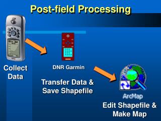
Basecamp Garmin Basecamp is the management software for all mapping applications • Garmin Basecamp is a FREE piece of software which you can download from Garmin.com. • The software allows you to view the map from any Garmin Mapping GPS on your PC or Mac. • You can view your route in 2D or 3D and view elevation profiles for what you are about to go and do. • Allow planning of Waypoints, Routes and Tracks – which can then be downloaded to the GPS • Unit must be plugged into the computer to view the map or • by a card reader
What does the supplied GB Disoverer contain? • Landranger 1:50,00 Scale Raster mapping – It offers clear detail on roads, footpaths, woods, water features and height contours. • 1:250,000 Scale Raster mapping combines roads, railways and other key features. Offers a great backdrop of the whole country – England, Scotland and Wales. • Miniscale 1:1 million scale mapping provides simple backdrop mapping, covering the whole of Great Britain • Navteq road mapping is embedded underneath all of the OS Mapping – This enables the use of Turn-by-turn mapping on the GPS Receivers
Birdseye Select This service allows Garmin users to download customisedsections of maps for compatible handheld devices. • Birdseye select allows to download 1:25k Ordnance Survey Mapping directly to your unit. • A £20 voucher enables the download of 600 sqkm – wherever you want in Great Britain. • Mapping also available for Ireland, Germany, France, North America and Kompassbranded maps for Austria in addition to the Eastern Alps (Southern Germany/Northern Italy), and Switzerland.
Congratulations on completingthe Bronze level of GPS Training Now navigate to the Silver level