Download
1 / 7
70 likes | 183 Views
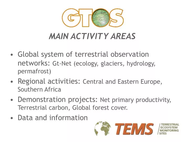
MAIN ACTIVITY AREAS Global system of terrestrial observation networks: Gt-Net (ecology, glaciers, hydrology, permafrost) Regional activities: Central and Eastern Europe, Southern Africa Demonstration projects: Net primary productivity, Terrestrial carbon, Global forest cover.

E N D
MAIN ACTIVITY AREAS • Global system of terrestrial observation networks: Gt-Net (ecology, glaciers, hydrology, permafrost) • Regional activities: Central and Eastern Europe, Southern Africa • Demonstration projects: Net primary productivity, Terrestrial carbon, Global forest cover. • Data and information
WHAT? • Web database: ca. 700 terrestrial sites (TSite) registered in 100 countries. • Related to the 5 GTOS priority areas: land quality, freshwater resources, biodiversity, climate change, pollution and toxicity. • Measuring any of 120 environmental variables.
TSITE CRITERIA • Actively collect and archive terrestrial ecosystem data as part of an ongoing science programme. • Tangible interest in international collaboration. • Reasonable history of terrestrial observations and/or security of long-term tenure and funding.
DATABASE CHARACTERISTICS • Registration Web template E-mail Surface mail • Searchable TSite name Country Region Network Variable Eco-region • Modular Coastal areas Mountains Drylands
DATA AVAILABLE • Names and addresses of key personnel. • Descriptive information (e.g. altitude, geology, climatic conditions, etc). • Network affiliations (e.g. Roselt, Acsad, ILTER). • 120 environmental variables and methodology sheets. • 65 socio-economic variables and methodology sheets with links to global data sets. • Under consideration: modules, mapping, library of methods, napster-style database registration.
USE OF TEMS • Modelling, assessment, and research programmes. • Assessing gaps in geographic coverage of key variables. • Linking ground observations with satellites. • Evaluating data quality and measurement methods. • Identifying sites that need upgrading.
WHERE? Approximately 1,000 TSites in 100 countries