Download
1 / 17
170 likes | 403 Views
POLITCAL GEOGRAPHY. C8K1K2. What is Political Geography?. Political geography is concerned with the study of the way governments organize and administer space on Earth's surface, and especially the geographic dimensions of conflict. . Case Study: Changing Borders in Europe Lorraine GE or FR

E N D
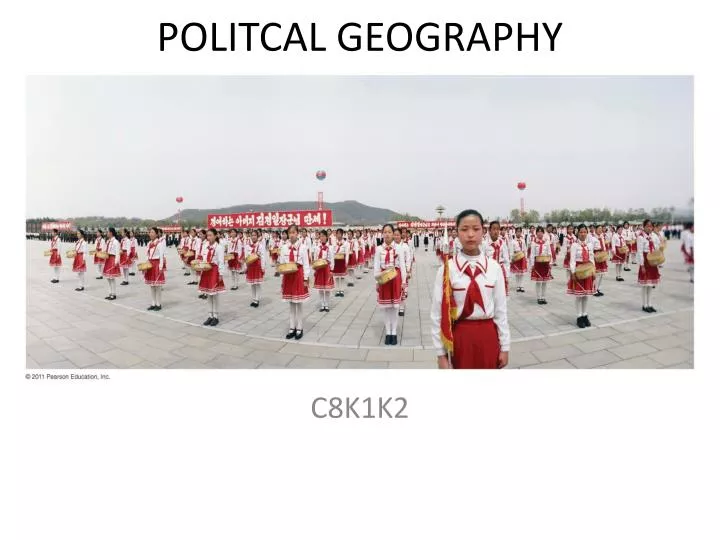
POLITCAL GEOGRAPHY C8K1K2
What is Political Geography? • Political geography is concerned with the study of the way governments organize and administer space on Earth's surface, and especially the geographic dimensions of conflict. • Case Study: Changing Borders in Europe • Lorraine GE or FR • Yugoslavia • Russia
Objectives: Where are States Located? • Problems of Defining States • Varying Size of States • Development of the State Concept
Problems of Defining States • Rapid political change since 1940’s (50 vs 192 states) • State/Country: political area ruled by an establish government that has control over its internal and foreign affairs (sovereignty).
Korea: One State or Two? • Early 20th century/ Japanese colony • After WWII: occupied by US and USSR (38th NL) 1950 Korea War. • 50 year stalemate
China & Taiwan • 1949 Nationalist vs Communists. Both claim legitimate Chinese state. • 1971: US finally recognizes mainland China.
Western Sahara • 1976 Spanish colony until Moroccan/ Mauritania independence. • Most of Africa recognizes Polisario Front independent. Controls one fifth of the territory.
Polar Regions: Many Claim • Antarctica is uninhabited but claimed by Argentina, Australia, Chile, France, New Zealand, Norway, and United Kingdom. Not universally recognized. • 1959: Antarctic Treaty = research station but not military.
Varying Size of States • Russia: Largest state • Microstates:
Development of the State Concept • Ancient & Medieval States: organized as city-states, kingdoms, empires, and tribes. • Fertile Crescent: city-states: surrounded by walls • Roman Empire: included 38 provinces • Kingdoms: large estates controlled by lords/ kings • Colonies: territory that is legally tied to a sovereign state • Colonialism/ Imperialism: state controlling foreign lands politically, economically, and cultural principles. (promoted religion, extract resources/ tax, and extend power
British vs French Imperialism • Direct: assimilation of culture. Use of French leaders to control political affairs. • Indirect: varying gov. structures and policies for various territories. More autonomy of local culture. • Post WWII: Most of Africa/ Asia became independent • Today: 43 remaining colonies of indigenous pop.
Objectives K2: Why Do Boundaries Btw States Cause Problems? • Shapes of States • Types of Boundaries • Boundaries Inside States
Shapes of States • Why shapes matter? (controls boundaries with other states/ affects communication & conflict) • Five Types: compact prorupted, elongated, fragmented, or perforated.
Five Basic Shapes of States • Compact: evenly dispersed (circle) with central capital. • Elongated: long and narrow • Prorupted: disrupted usually to give access • Perforated: state completely surrounded by another state • Fragmented: state interrupted 1) by bodies of water. 2) by another state • * Landlocked States: no direct outlet to sea/ ocean (mostly found in Africa
Types of Boundaries • Physical: desert, mountain, water • Cultural: geometric (straight lines) & differences such as language, ethnicity, religion • Frontiers: space where no state exercises complete political control (Saudi & neighbors
Boundaries Inside States • Separate different nationalities or ethnicities (self-determination within single state) • Unitary state: most power in the hands of central government (France) • France: 96 elected general council but it’s administrative head is a prefet (appointed by national gov. rather than local people)
Trend Toward Federal Government • Federal states: allocates strong power to local government (USA) • Poland: restructured from unitary to federal after collapse of communism. • Electoral Geography: boundaries separating legislative districts. • Gerrymandering: redrawn to benefit a particular group