Download
1 / 13
140 likes | 272 Views
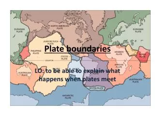
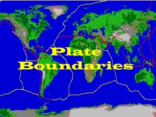
Plate Boundaries. colllisional. How collision builds mtns: processes are labeled on diagram. The topography of a mtn is build from a combination of physical (faulting and folding pushing the surface UP) and isostatic (the crust rises because it gets thicker and can float higher in

E N D
Plate Boundaries colllisional
How collision builds mtns: processes are labeled on diagram. The topography of a mtn is build from a combination of physical (faulting and folding pushing the surface UP) and isostatic (the crust rises because it gets thicker and can float higher in the mantle)
Generalization of the internal structure of mtns. The region colored mdm-grey-brown (labeled continental crust) will be metamorphosed from the regional heat and pressure generated from the collision. Thrust faults flank the metamorphic belt. The diagram does not show the presence of volcanic rocks within the mtn
the sequence of steps associated with accretion of terranes, or microplates. The terrane basically “plugs up” the subduction zone, forcing it to move backward.
Another way in which terranes accrete to larger plates. Again, the terrane, made of more buoyant material, won’t subduct, so the site of subduction moves. This sequence also illustrates an example of “which plate subducts?” At first, it’s the ocean crust-bearing plate of on the right, but later it is the ocean-bearing plate on the left. The controlling factor? The more dense plate will subduct.
Basins where thick piles of sediment can accumulate are also characteristic of mtns. Immediate adjacent to the Canadian Rockies, for example, is a basin that has tens of km of sediment in it, accumulated from erosion of the mtn as it is uplifted. How does a basin subside, or sink, in a regime of uplift?……
Basins are sites of sediment accumulation because they are depressions that form from fault movement: the crust sinks as a result of the weight of the extra pile of crust pushed on to it. This basin then accumulates sediment, whose weight causes further sinking, or subsidence.
Geologic record of orogeny • Instrusive (granite plutons, dikes) and extrusive (ash and flows) volcanic rocks • Regional metamorphism • Abundant faulting, especially thrust faults • Basins with thick accumulations of sediment; sandstones are lithic arenites and record deposition in non-marine environments, such as rivers, lakes, deltas. • Abundant unconformities reflecting the times of vertical movement
What does the geologic record of orogeny look like? There will be mtns, or if erosion has been very severe, the remains of the “innards” of mtns: folded, metamorphic and volcanic rocks. 2. Abundant folds and thrust faults Stratigraphy that records the types of basins and sediments that infilled them 4. Lots of unconformities! Pluton intrusion Closure of ocean basin The stratigraphic record of the Taconic Orogeny in eVt & wMA New ocean seds & volcanics
Isostacy: why portions of the Earth’s crust are at different elevations A block of ice floats in water. Why does part of it stick above Water level? Why not? The pressure along the dashed line Is everywhere the same. This is called The compensation depth. The pressure at PB must = pressure at PA. The block will rise to equilibrate pressures
Isostacy, continued We can determine the pressure that is pushing the block up…in other words, how much does it have to rise to come into equilibrium? The block of ice will be at equilibrium when PA = PB PA is a function of the density of the block, the gravitational acceleration downward, and its thickness, or PA= (rho ice)(g)(thick) PB is a function of: density of the water, the gravitational accel downward, and its thickness, or PB = (rho water)(g)(thick)
Let ZT = total thickness. Let ZU = the upper part (above water level). Let ZL = the lower part (below water level). Then -- ZT = ZU + ZL if ZT= 100m, Zu= x ZL=100-x PA =icegZT = (.917)(9.81)(100)) PB = watergZL = (1) (9.81)(100-x) PA = PB (.917)(9.81)(100) = (1)(9.81)(100-x) x = 8.3m So ZL / ZT= ice / water and ZU / ZT = (water – ice ) / water If the density of ice = .917 g/cm3 The density of water = 1g/cm3 grav const - 9.81 m/sec2 and the thickness Lt=100m In other words, ~92% of the ice floats below water level
This is a preview of Airy isostasy: Which says, for example, that mountains are higher than plains because they have roots. Or, continents are higher than ocean basins because continental crust is thicker than oceanic crust. Sample problem: if continental crust is 40km thick, how high would the Earth’s surface extend above ground (=how high a mountain would be) This is solved the same way you approach the iceberg. What is different is the density of the iceberg, which becomes the density of cont. crust; the density of water becomes the density of the mantle