Download
1 / 11
120 likes | 263 Views
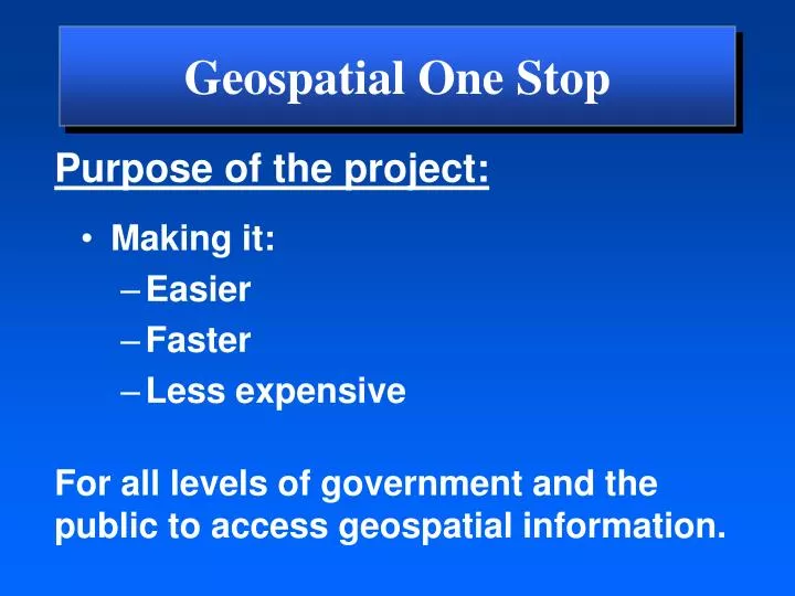
Geospatial One Stop. Purpose of the project:. Making it: Easier Faster Less expensive. For all levels of government and the public to access geospatial information. Framework Standards. Framework Standards. Draft Standards available at www.geo-one-stop.gov. Rail. Air. Roads. Elevation.

E N D
Geospatial One Stop Purpose of the project: • Making it: • Easier • Faster • Less expensive For all levels of government and the public to access geospatial information.
Framework Standards Framework Standards Draft Standards available at www.geo-one-stop.gov Rail Air Roads Elevation Transportation Transit Geospatial One-Stop Base Standard Waterways Cadastral Geodetic Control Governmental Units Orthoimagery Hydrography Source – INCITS/L1
Status of Standards Available at www.geo-one-stop.gov • Base Available(pre- harmonization) • Elevation Available • Orthoimagery Available • Government Units Available • Hydrography Available • Geodetic Control Available • Cadastral June (revision) • Transportation July (draft harmonized) • Roads Available • Rail Available • Air Available • Transit Available • Waterways Available
Challenges • Ensure adequate involvement by state and local participants. • Accomplish harmonization of draft standards by September 30th. Need agency commitment for staff support. • Feedback on the barriers encountered both in resource and technical issues. • Increased resources focused on harmonization will ensure the highest quality product on September 30.
NRCS BTS Census USGS BLM US. COE In Process EPA FWS Inventory of Existing Geospatial Data Over 250,000 metadata records from 12 federal NSDI Clearinghouse nodes Links to 50 State Clearinghouses leveraging thousands of state and local data sets www.geo-one-stop.gov
Planned Federal FY04 Data Acquisitions* • 55 planned acquisition projects reported • 11 projects reported budgets totaling $55.75 million • Need to break down barriers to encourage agency reporting * $1.0M or greater
Federal Integration Services Support Government Business Support Decision Making Homeland Security Recreation One Stop Disaster Management Smart Growth Citizen Services Other E-gov Initiatives Watershed Management Counties States Cities Tribes Academia GOS Portal • User Community • Data Searches • Map Services • Visualization Private
Building local capacity through Geo-Partnerships Expectations • Standards • Metadata • Stewardship Incentives • Tools • Training • Software • Grants Outcome: improved public services through stewardship and data sharing.
Cities Federal States Tribes PrivateSector Counties Universities Implementing Geo-Partnerships Will Lead To: . . . a National Spatial Data Infrastructure
Geo-Partnerships with States • Work with NSGIC to define expectations: • Manage Portal/Clearinghouse node to share data • Maintain user inventory • Host GI Council or some coordination entity • Develop I-Plan • Adopt GOS standards
Geo-Partnerships with States • Incentives: • Federal agencies streamline geospatial grant programs – E-grants • Portal template provided to States • GOS $1.5M is used as seed grant funds • Benefits: • Establish logical data stewards • Encourage local capacity • Move to implementation • Positive ROI • GOS Board support