Download
1 / 29
290 likes | 430 Views
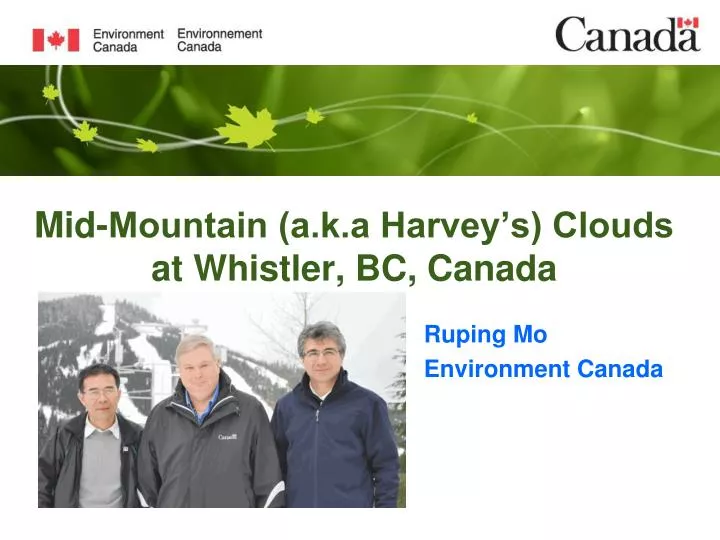
Mid-Mountain (a.k.a Harvey’s) Clouds at Whistler, BC, Canada. Ruping Mo Environment Canada. Whistler Mountain. Mid-Mountain (Harvey’s) Clouds. 1040 PST 2010-02-14. Harvey Fellowes. Mid-Mt. Clouds (Mosaic). Impact of Alpine clouds. 11 February 2010, Whistler.

E N D
Mid-Mountain (a.k.a Harvey’s) Clouds at Whistler, BC, Canada Ruping Mo Environment Canada
Mid-Mountain (Harvey’s) Clouds 1040 PST 2010-02-14 Harvey Fellowes
Impact of Alpine clouds 11 February 2010, Whistler
Diurnal visibility Occurrence frequency 5 Feb – 21 Mar 2010
Mid-mountain cloud 2010-02-16 1100 – 1340 PST
Mid-mountain cloud Thermal impact: Thermally forcing up-slope flow interacting with inversion in the morning (Mo et al. 2012) Late-morning tendency
Mid-mountain cloud 2010-02-16 1100 – 1340 PST A Case Study
Mid-mountain cloud A Case Study: Morning (1000 PST, 16 Feb 2010)
Mid-mountain cloud A Case Study: Afternoon (1600 PST, 16 Feb 2010)
Mid-mountain cloud Whistler (WAE) Sounding
Mid-mountain cloud Dry layer (cloud top)
Model Prediction (1 km resolution) Meteograms at mid-mountain (VOL, 2010-02-16) Low visibility Cloudy No high cloud
Model Prediction (1 km resolution) Meteograms at mid-mountain (VOL, 2010-02-16) Cloudy Gusty SW winds No high cloud
Model Prediction 1 km resolution model Visibility forecast
Model Prediction 1 km resolution model Valid at 2010-02-16 1100 PST (1900 UTC)
Model Prediction 1 km resolution model Valid at 2010-02-16 1100 PST (1900 UTC) (Vertical velocity)
Conceptual Model • Valley inflow drives up-slope flow and gives rise to clouds • Leeward subsidence of elevated flow traps the clouds • Late-morning tendency is thermally driven
Oscillation on mountain slope 2010-02-27, 1100 – 1500 PST
Oscillation on mountain slope 2010-02-27, 1100 – 1500 PST • Possible mechanisms: • Cloud-top evaporative • instability
Oscillation on mountain slope 2010-02-27, 1100 – 1500 PST • Possible mechanisms: • Cloud-top evaporative • instability • Slope-flow induced • gravity waves
Summary • Mid-mountain clouds at Whistler are common in Winter • Mid-Mt clouds form most frequently late in the morning • Mid-Mt clouds form under stably stratification, usually post-frontal, when moderate valley inflow prevails • Mid-Mt clouds form on the leeward slope, when weak to moderate leeward subsidence is expected • Mid-Mt clouds could experience oscillations with 1-3 hr periods • Mid-Mt clouds have significant impact on downhill skiing competitions • Demonstrate value of web cams, 1 km model