Download
1 / 31
310 likes | 319 Views
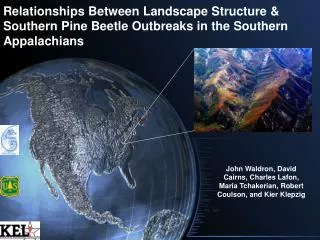
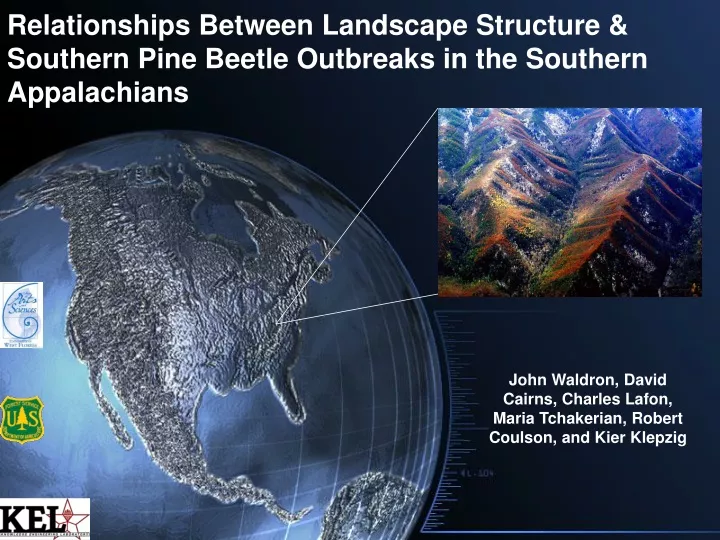
Relationships Between Landscape Structure & Southern Pine Beetle Outbreaks in the Southern Appalachians. John Waldron, David Cairns, Charles Lafon, Maria Tchakerian, Robert Coulson, and Kier Klepzig. Why the Southern Pine Beetle?. SCENIC/ECOLOGICAL DAMAGE. HAZARDS. ECONOMIC DAMAGE.

E N D
Relationships Between Landscape Structure & Southern Pine Beetle Outbreaks in the Southern Appalachians John Waldron, David Cairns, Charles Lafon, Maria Tchakerian, Robert Coulson, and Kier Klepzig
SCENIC/ECOLOGICAL DAMAGE HAZARDS ECONOMIC DAMAGE
Why the Southern Pine Beetle? -Timber losses alone exceed $2.5 billion. • The economic, social, and ecological impact of the • SPB is catastrophic across the Southern US. • Recent damage caused by SPB exceeds all historical records. -Ca. 89 million acres of forest land in the South are at risk • The existing knowledge base for the insect is inadequate to • explain the causes for the epidemic or provide insight into how • it can be managed.
Geographic Range of Southern Pine Beetle (Dendroctonus frontalis)
Modeling Approach LANDIS 4.0 ● Raster (cell) based ● cell sizes ranging from 100 m2- 250,000 m2 ● operates decadally ● simulates succession individualistically ● includes disturbances by wind, fire, insect/disease and harvesting ● determines species presence/absence in terms of 10-yr age cohorts. LANDIS was developed, and continues to be developed, by David Mladenoff & a team of researchers from the University of Wisconsin, the University of Missouri, & the USDA Forest Service
13 14 15 16 17 18 18 Landtype Classes: Moisture & Elevation Gradient 7 8 9 10 11 12 1 2 3 4 5 6
Not Actual Size Photo Credit: T. Waldrop
Low Elevation Ridges & Peaks Fire No Disturbance SPB Fire + SPB
Pattern Process R. Coulson
Objectives • Determine the impacts of SPB on landscape structure • Determine the relative impact of landscape structure on SPB outbreak characteristics and pine persistence
LANDIS-BDA: Biological Disturbance Agent module Models Biological Disturbances (Disease & Insect) 4 Main Elements 1) Site Resource Dominance (SRD)- Indicates quality of food resources on a given site (cell) 2) Site Resource Modifiers- Adjust SRD to reflect variation in in food resources by land type and disturbance 3) Neighborhood Resource Dominance- distance-weighted average of SRD in all sites within a user-specified neighborhood. Combined with SRD to calculate Site Vulnerability, which dictates severity of Outbreak. 4) Temporal Disturbance Function- Determines temporal behavior of Biological Agent (chronic, cyclic, random)
What does the BDA do? • Cell-based probability of infestation. • Site conditions (species and age structure) • Neighborhood conditions • Regional outbreak status • Severity of individual outbreaks • Site conditions (species and age structure)
Outbreak Severity Calculations Age Cohort Resource Value Outbreak? Site Resource Dominance Outbreak Severity Class 1, 2 or 3 Site Vulnerability Species End Mortality?
Populating the Landscapes • Even Age Distribution: All trees in year 0 are 10 years old • Host Trees • Table Mountain Pine: (Pinus pungens) • Non-host species • 11 species • Randomly placed in non-host cells
Landscape Creation • RULE (Gardner 1999) • 512 x 512 cells • Binary (host / non-host) landscapes • Variability in two parameters • Proportion of landscape as host • Fractal dimension
Experimental Design • Factors • Proportion of landscape in pine • 2 Levels (0.25, 0.4) • Fractal dimension of landscape • 6 Levels of h (0, 0.1, 0.2, 0.3, 0.4, 0.5) • Replications • 50 Replicate landscapes • Total of 600 different Landscapes
LANDSCAPE STRUCTURE h = 0 h = 0.1 h = 0.2 h = 0.4 h = 0.3 h = 0.5
Representation of Landscape Structure • h can only be used for landscape creation, not landscape description. • We used the Clumpiness Index in Fragstats to represent patch aggregation.
LANDIS runs • No fire, wind, or harvesting • BDA active to simulate SPB outbreaks • 150 year runs 13 14 15 16 17 18 7 8 9 10 11 12 1 2 3 4 5 6
Persistence of Pine p = 25 % p = 40 %
Infested Area vs. Aggregation p = 25%
Conclusions • Pine cover on the landscapes declines regardless of landscape characteristics. • The proportion of the landscape in pine is less important than the aggregation of the elements for the persistence of pine. • Pine landscapes become more fragmented over time. • Highly aggregated landscapes are more likely to have larger and more severe infestations than are less aggregated landscapes. • The proportion of old pines on the landscape influences the form of the response of infestation area to aggregation.