Download
1 / 13
140 likes | 261 Views
Spatial Flood Risk Modeling And Reliability Analysis In Determining Flood Defence System Criteria That Consider Acceptable Risk Upper Citarum Basin. Anik Sarminingsih Doctoral Student in Civil Eng. Institute Technology Bandung Indratmo Soekarno Professor Institute Technology Bandung

E N D
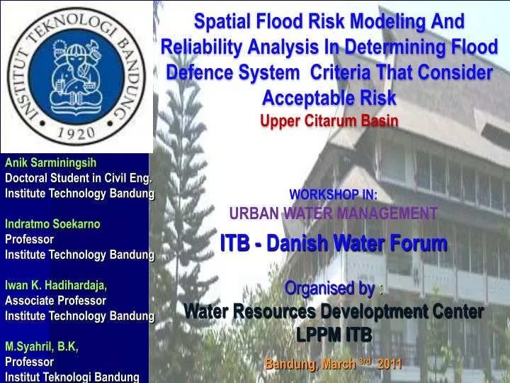
Spatial Flood Risk Modeling And Reliability Analysis In Determining Flood Defence System Criteria That Consider Acceptable Risk Upper Citarum Basin AnikSarminingsih Doctoral Student in Civil Eng. Institute Technology Bandung IndratmoSoekarno Professor Institute Technology Bandung IwanK. Hadihardaja, Associate Professor Institute Technology Bandung M.Syahril, B.K, Professor InstitutTeknologi Bandung WORKSHOP IN: URBAN WATER MANAGEMENT ITB - Danish Water Forum Organised by : Water Resources Developtment Center LPPM ITB Bandung, March 3rd2011
INTRODUCTION… Background… • Flood at floodplain almost every year happened (example: Citarum River, West Java) • Flood control system in Indonesia is based on planning criteria issued by the Department of Public Works. • Magnitude of return periods of Design Flood of river flood control ranges from 5-25 years for short term and could be increased up to 100 years for the long term • system performance is not evaluated to its realibility, usually realibility are only evaluated in structural though structural failure is one of cause of system failure
INTRODUCTION… Objectives… a. Knowing the level of flood risk in floodplain areas in spatial terms of aspects of social, economic and environment to various return period of flood discharge b. Knowing the probability of a flood control system failure (Pf) for various return period of flood discharge. c. Knowing β reliability index (reliability index) or the safety level for various return period of flood discharge d. Getting the pattern of relationship between the probability of flood events, the level of risk and reliability index β, and the policy factor (acceptable risk factor), β * e. Recommendation of the planning criteria based design flood level of risk and the expected system reliability based on an acceptable level of risk (acceptable risk)
2. CASE STUDY… Upper Citarum River Basin, West Java RAINFALL VARIABILITY AND FLOOD INUNDATION IN UPPER CITARUM RIVER BASIN 12.000 10.000 8.000 LuasGenangan/ Banjir (Hektar) 6.000 4.000 2.000 0 Citarum River Bandung City Potential Flood I nundation area >> 15 thousands ha Very low low medium High Very high SUMBER: TRIJONO PBPP CITARUM 2005/ IDA NARULITA LIPI 2006/ SOBIRIN DPKLTS 2006/YADI SURYADI-HAHI 2008
2. FLOOD DAMAGE……. Citarum River Bandung City residential Public services Agricultural
3. METHODOLOGY • already much studies to overcome flood problems in Citarum,Trdesign flood about 5-20 years. • Did consider acceptable risk? • Step To determine acceptable risk
Risk Calculation 3. METHODOLOGY • Hydrologic analysis is used HEC-HMS • Hydraulic analysis is used HEC-RAS • Both softwares are integrated with GIS in WMS Realibilityanalisys Flood Risk
4. ANALYSIS AND RESULT (based on artificial data) Hydrologic Analysis Cikapundung Cipamokolan, Cicadas, dll Cikeruh Citarik Citarum Flooding Hydraulic Analysis Q2 years β = 0 Cisangkuy Upper Citarum Ciwidey Overtopping Q1.1 years β = 1.63 Realibility Analysis
4. ANALYSIS AND RESULT (based on artificial data) Flood Damage Analysis Depth (m) Hazard map
4. ANALYSIS AND RESULT (based on artificial data) Currently decission making Expected result : To find acceptable risk by multi objectives optimization : Min Z = f (βi) = f(βec)+f(βsoc)+…f(βenv) Constrains : - limit criteria of all aspects (economic, social, environmental) Tr In the future decission making must be consider acceptable risk
8. CONCLUSION • acceptable risk are determined base on minimum safety criteria and minimum acceptance risk (economic, social, environmental) • in determining return period of design flood must considers acceptable risk • design flood is determined base dominant sub Catchment • structure realibility calculation must be evaluates to design flood which resulted from determining acceptable risk 9. SUGGESTION Safety criteria should be integrated and have standard in common inter department/institution (for example : dam, transportation, river)