Download
1 / 45
460 likes | 575 Views
Coastal Vulnerability Model: Mapping the Coastal Protection Benefits Provided by the Natural Environment. Greg Guannel , K. Arkema , M. Papenfus , G. Verutes , J . Bernhardt, A. Guerry , C.-K. Kim, M. Ruckelshaus, and J. Toft. fabiencousteau.org. Wave, Wind. Geomorphology, Relief.

E N D
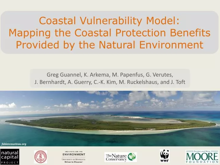
Coastal Vulnerability Model: Mapping the Coastal Protection Benefits Provided by the Natural Environment Greg Guannel, K. Arkema, M. Papenfus, G. Verutes, J. Bernhardt, A. Guerry, C.-K. Kim, M. Ruckelshaus, and J. Toft fabiencousteau.org
Wave, Wind Geomorphology, Relief NOAA Storm Surge Natural Habitats SaveGuanaCayReef
Wave, Wind adclassix.com Geomorphology, Relief NOAA Storm Surge Marine InVEST jimmymacofphoenix.com Natural Habitats SaveGuanaCayReef
Marine InVEST Models Input Data (reflect scenarios) Model Outputs (ecosystem services & values) ECOSYSTEM SERVICES VALUATION Value ofcarbon sequestered Carbon Sequestration Carbon TERRESTRIAL SYSTEMS Wave Energy Value of captured wave energy Wave Energy BIO-PHYSICAL Coastal Protection Avoided Area Avoided damages Bathymetry & Topography HabitatRisk Species distribution SCENARIOS Value of recreation activity Recreation Tourism Revenue Oceanography Habitat type WaterQuality Fishery Landed Biomass Net present value of finfish and shellfish SOCIO-ECONOMIC Aquaculture Harvested Biomass Population density Visitation Rates Aesthetic Quality Aquaculture operation costs Property values
Oi! • Are there areas that are more exposed to impacts of high waves and winds than others? • Are there natural factors that can reduce these impacts?
Is this area vulnerable to erosion and inundation during storms? • How do changes in the natural environment affect that vulnerability? • Why does this bloody hell matter to peopleanyways?
Fascinating questions! • Let’s solve them, with the CV model!
Coastal Protection Model Two Types of Habitats Two Types of Hazards Living Erosion Non-living Flooding
Coastal Protection Model Inputs Coastal Vulnerability Model • Know the Environment • Evaluate Scenarios Erosion/Inundation Model
Coastal Vulnerability Index • Qualitative assessment of vulnerability based on mixture of relative and absolute ranking of variables
Relative Sea Level Change British Columbia. Ministry of Water, Land and Air Protection Need to take land movement into account!
Wave Exposure U Exposed shorelines: ocean waves Sheltered shorelines: locally-generated waves
Coastal Vulnerability Index • Qualitative assessment of vulnerability based on mixture of relative and absolute ranking of variables
Oh! And What Did Martha Say? • Why does this bloody hell matter to people anyways?
Limitations and Assumptions - Complex coastal processes summarized by 7 variables Screening Tool - No prediction of shoreline change Qualitative Tool - Site-specific sediment transport patterns ignored General Tool
Model Steps • Run Fetch Calculator • Fetch distances • Exposed/Non-Exposed Shorelines • Run Vulnerability Index
Erosion/Inundation Model Steve@Flickr
Erosion/Inundation Model Can treat effects of coral reefs, mangroves, marshes, seagrass beds, oyster reefs and sand dunes
Example Outputs: Oyster Reefs Fetch Distances Bathymetry Cross-Section
Example Outputs: Oyster Reefs Design Wave H=1m; T=5s
Geomorphology How to Represent Structures?
Natural Habitats How/Why remove habitats in CV run?
Model Outputs • Vulnerability Index • Erosion Index • Inundation Index
Update – Ranking Natural Habitats Current Ranking
Update – Ranking Natural Habitats More habitats = more protection!