Download
1 / 17
200 likes | 704 Views
Chapter 9. ATTRIBUTE DATA INPUT AND MANAGEMENT 9.1 Attribute Data in GIS 9.1.1 Type of Table Box 9.1 Nonspatial Tables 9.1.2 Database Management 9.1.3 Type of Attribute Data Box 9.2 Categorical and Numeric Data 9.2 The Relational Model 9.2.1 MUIR: A Relational Database Example

E N D
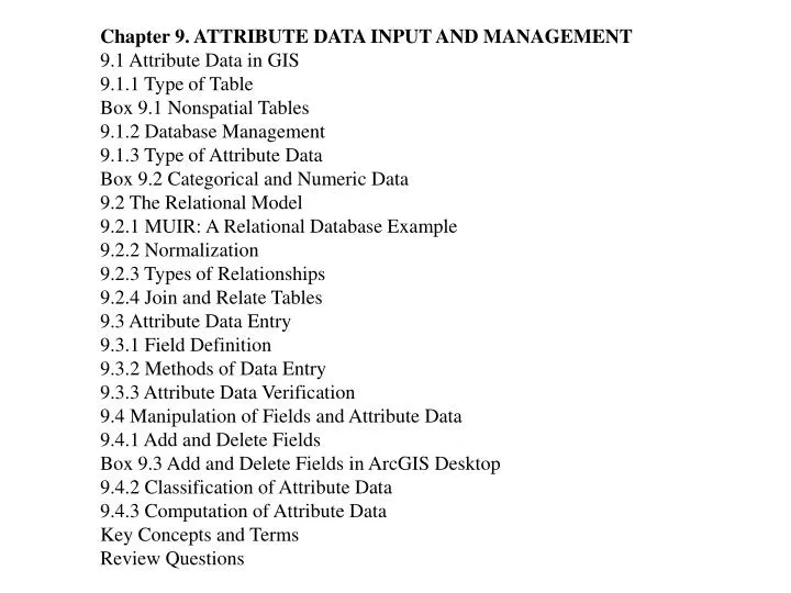
Chapter 9. ATTRIBUTE DATA INPUT AND MANAGEMENT 9.1 Attribute Data in GIS 9.1.1 Type of Table Box 9.1 Nonspatial Tables 9.1.2 Database Management 9.1.3 Type of Attribute Data Box 9.2 Categorical and Numeric Data 9.2 The Relational Model 9.2.1 MUIR: A Relational Database Example 9.2.2 Normalization 9.2.3 Types of Relationships 9.2.4 Join and Relate Tables 9.3 Attribute Data Entry 9.3.1 Field Definition 9.3.2 Methods of Data Entry 9.3.3 Attribute Data Verification 9.4 Manipulation of Fields and Attribute Data 9.4.1 Add and Delete Fields Box 9.3 Add and Delete Fields in ArcGIS Desktop 9.4.2 Classification of Attribute Data 9.4.3 Computation of Attribute Data Key Concepts and Terms Review Questions
Applications: Attribute Data Entry and Management Task 1: Enter Attribute Data of a Geodatabase Feature Class Task 2: Join Tables in ArcMap Task 3: Relate Tables in ArcMap Task 4: Create New Attribute by Data Classification Task 5: Use Advanced Method for Attribute Data Classification Task 6: Create New Attribute by Data Computation Challenge Question References
Figure 9.1 Each street segment in the TIGER/Line files has a set of associated attributes. These attributes include street name, address ranges on the left side and the right side, as well as ZIP codes on both sides.
Figure 9.2 As an example of the georelational data model, the soils coverage uses SOIL-ID to link to the spatial and attribute data.
Figure 9.3 The object-based data model uses the Shape field to store the geometry of soil polygons. The table therefore contains both spatial and attribute data.
Figure 9.4 A value attribute table lists the attributes of value and count. The value field refers to the cell value, and the count field refers to the number of cells. A value attribute table differs from the feature attribute tables in Figures 9.2 and 9.3.
Figure 9.5 A feature attribute table consists of rows and columns. Each row represents a spatial feature, and each column represents a property or characteristic of the spatial feature.
Figure 9.6 Four types of database design: (a) flat file, (b) hierarchical, (c) network, and (d) relational.
Figure 9.7 Separate tables from the second step in normalization. The keys relating the tables are highlighted.
Figure 9.8 Separate tables after normalization. The keys relating the tables are highlighted.
Figure 9.9 Four types of data relationship between tables: one-to-one, one-to-many, many-to-one, and many-to-many.
Figure 9.10 Primary key and foreign key provide the linkage to join the table on the right to the feature attribute table on the left.
Figure 9.11 This example of a many-to-one relationship in the MUIR database relates three map unit components in comp.dbf to the same soil class in the taxclass.dbf.
Figure 9.12 This example of a one-to-many relationship in the MUIR database relates one map unit component in comp.dbf to four layers in layer.dbf.
PIN Owner Owner address Sale date Acres Zone code Zoning P101 Wang 101 Oak St 1-10-98 1.0 1 residential Chang 200 Maple St P102 Smith 300 Spruce Rd 10-6-68 3.0 2 commercial Jones 105 Ash St P103 Costello 206 Elm St 3-7-97 2.5 2 commercial P104 Smith 300 Spruce Rd 7-30-78 1.0 1 residential TABLE 9.1 An Unnormalized Table
PIN Owner Owner address Sale date Acres Zone code Zoning P101 Wang 101 Oak St 1-10-98 1.0 1 residential P101 Chang 200 Maple St 1-10-98 1.0 1 residential P102 Smith 300 Spruce Rd 10-6-68 3.0 2 commercial P102 Jones 105 Ash St 10-6-68 3.0 2 commercial P103 Costello 206 Elm St 3-7-97 2.5 2 commercial P104 Smith 300 Spruce Rd 7-30-78 1.0 1 residential TABLE 9.2 First Step in Normalization
Natural Resources Conservation Service: SSURGO http://soils.usda.gov/