Download
1 / 18
180 likes | 183 Views
Learn how to create a text layer for labeling points, polling places, landmarks, lines, roads, and more at the GeoElections Annual Conference.

E N D
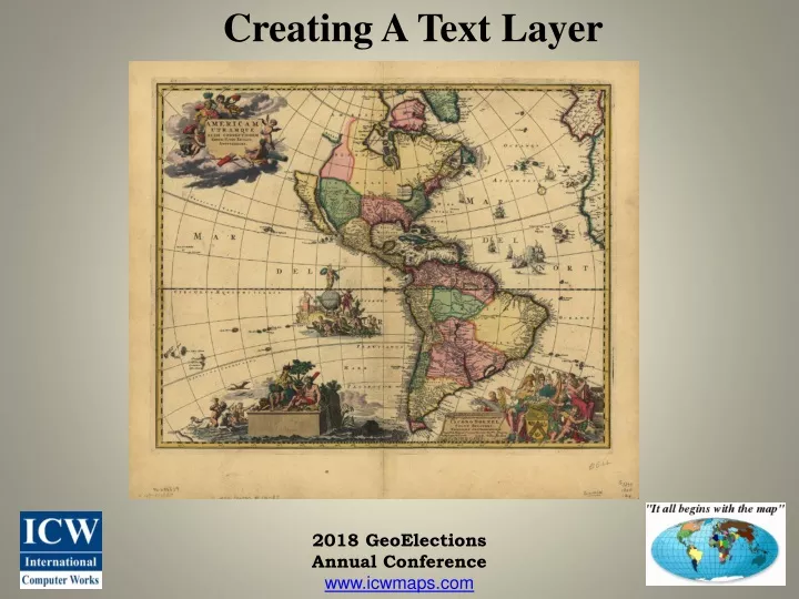
Creating A Text Layer 2018 GeoElections Annual Conference www.icwmaps.com
Creating A Text Layer Features you may likely want to label which will compete for space on your map. • Points • Polling Places • Landmarks • Lines • Roads • Railroad Tracks • Water Boundaries • Non-visible Boundaries • Polygons • CDDs and other special taxing districts • Municipalities • Congressional, Senate, House, etc. Districts • Precincts 2018 GeoElections Annual Conference www.icwmaps.com
Creating A Text Layer Automatic Labels, Labels and Text are different and support different purposes when labeling objects in a map. Automatic Labels (Labels) and Text are different. They support different purposes when labeling objects in a map. Because of their respective attributes they act differently. Automatic Labels and Labels share the same attributes. • Automatic Labels are MapInfo Pro generated labels created by way of the Automatic Label button contained in the Layer Control dialog box. • Labels are applied using the Label Tool found on the Main tool bar • Text remains a constant scale as zooming in and out. Text. • Text labels are objects. They appear similar to Labels. Text objects change scale zooming in and out. • Text objects are contained within a discrete table. Their position in the stack of layers can be set through the Layer Control dialog box. • There are two tools in Tool Manager that convert Labels to Text objects; Autolabeler and Labeler. 2018 GeoElections Annual Conference www.icwmaps.com
Creating A Text Layer Removing the UNKNOWNX labels from the 2.tab. 1. Select all of the Names that contain UNKNOWNX 2018 GeoElections Annual Conference www.icwmaps.com
Creating A Text Layer Removing the UNKNOWNX labels from the 2.tab 1. Optionally, you can use an SQL Select to make your selection. 2018 GeoElections Annual Conference www.icwmaps.com
Creating A Text Layer Removing the UNKNOWNX labels from the 2.tab 2. Use the Update Column function to blank out the string in the Name field for your selection. 2018 GeoElections Annual Conference www.icwmaps.com
Creating A Text Layer 2018 GeoElections Annual Conference www.icwmaps.com
Creating A Text Layer 2018 GeoElections Annual Conference www.icwmaps.com
Creating A Text Layer 2018 GeoElections Annual Conference www.icwmaps.com
Creating A Text Layer 2018 GeoElections Annual Conference www.icwmaps.com
Creating A Text Layer 2018 GeoElections Annual Conference www.icwmaps.com
Creating A Text Layer 2018 GeoElections Annual Conference www.icwmaps.com
Creating A Text Layer Places text objects into the permanent layer Places text objects into the cosmetic layer 2018 GeoElections Annual Conference www.icwmaps.com
Creating A Text Layer 2018 GeoElections Annual Conference www.icwmaps.com
Creating A Text Layer • Find the Zoom width that works best with your equipment • Choose a Font, size, and color • Create a folder in the project called text • Create a text layer such as Street_Labels • Use the Labeler and Auto Label tools • Edit the location of text • Create a workspace, street_labels.wor 2018 GeoElections Annual Conference www.icwmaps.com
Creating A Text Layer • Zoom 1.905 mi • Times New Roman • 6 Points • Black • Mixed Case • Feature - Roads 2018 GeoElections Annual Conference www.icwmaps.com
Creating A Text Layer • Use Label Functions • Transfer Labels to Cosmetic Layer • Map>Save Cosmetic • Black • Use Layer Control With Labels 2018 GeoElections Annual Conference www.icwmaps.com
Creating A Text Layer The End Any Questions? 2018 GeoElections Annual Conference www.icwmaps.com