Download
1 / 13
130 likes | 254 Views
Online real-time tweets extraction, mapping and dissemination. Xiannian Chen and Gregory Elmes West Virginia University. Geospatial data. Challenges that geospatial data face Traditional geospatial data updates are slow. The real-time data is critical in disaster management.

E N D
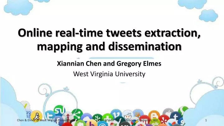
Online real-time tweets extraction, mapping and dissemination Xiannian Chen and Gregory Elmes West Virginia University 2014 WVAGP GIS Conference, Charleston, WV
Geospatial data • Challenges that geospatial data face • Traditional geospatial data updates are slow. • The real-time data is critical in disaster management. • Crowdsourcing (Jeff Howe 2005, Brabham 2008) • VGI (Volunteered Geographic Information, Goodchild 2007) • Real time geographic information from volunteers • “geographic information acquired and made available to others through the voluntary activity of individuals or groups, with the intent of providing information about the geographic world” (Elwood, Goodchild, and Sui 2011) 2014 WVAGP GIS Conference, Charleston, WV
Values of VGI • Captures of real time changes • Quick dissemination • A significant data source. • Individuals’ understandings of a local event • Rich in context 2014 WVAGP GIS Conference, Charleston, WV
API and REST • Application Programming Interface • Alibrary that may include specification for routines, data structures, object classes, and variables • An interface for software components to communicate • All social media websites provide API • REST (REpresentationalState Transfer, Fielding 2000) • A HTTP-based style to describe the resources it represents. • uses HTTP for all four CRUD (Create/Read/Update/Delete) • The access of REST services is a simple URL 2014 WVAGP GIS Conference, Charleston, WV
Twitter and Tweets • Twitter: a real-time information network • Tweets • created_at • coordinates • favorite_count, retweet_count • id • place • text • user • more information: https://dev.twitter.com/docs/platform-objects/tweets 2014 WVAGP GIS Conference, Charleston, WV
Twitter Search API • Twitter provides REST API to access tweets • The resources are represented in RESTful style, which mean, in theory, users can get tweets by typing the URL with right parameters. • Tweets, especially geo-tagged tweets • A sample URL for query: • https://api.twitter.com/1.1/search/tweets.json?q=shooting&geocode=41.148693,-81.346292,100km&result_type=recent&until=2014-05-30&since=2014-05-29&count=100 2014 WVAGP GIS Conference, Charleston, WV
Major query parameters • q – the search keywords • geocode – location with radius. Format: lat, long, 50mi. • since, until – the search time frame. Format: yyyy-mm-dd • count – the number of tweet in a query. <100 • result_type– types of search results preferred to receive • mixed: Include both popular and real time results in the response. • recent: return only the most recent results in the response. • popular: return only the most popular results in the response. • more information: https://dev.twitter.com/docs/api/1.1/get/search/tweets 2014 WVAGP GIS Conference, Charleston, WV
Authorization • Required in Twitter API v1.1. • Response of un-authorized request. • {"errors":[{"message":"Bad Authentication data","code":215}]} • Using Twitter website to generate the authorization code • API key • API secret • Access token • Access token secret • Use and activate authorization through server-side programming technologies, e.g. PHP, Python. 2014 WVAGP GIS Conference, Charleston, WV
System architecture for live VGI saving 2014 WVAGP GIS Conference, Charleston, WV
Implementation of live data saving 2014 WVAGP GIS Conference, Charleston, WV
A live demo • http://157.182.212.204/tweets 2014 WVAGP GIS Conference, Charleston, WV
Issues • Quality • Accuracy • Uncertainty • Credibility • Heterogeneities • Liability • Privacy • Confidentiality 2014 WVAGP GIS Conference, Charleston, WV
Thanks and questions 2014 WVAGP GIS Conference, Charleston, WV