Download
1 / 31
310 likes | 314 Views
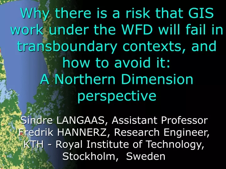
Why there is a risk that GIS work under the WFD will fail in transboundary contexts, and how to avoid it: A Northern Dimension perspective. Sindre LANGAAS, Assistant Professor Fredrik HANNERZ, Research Engineer, KTH - Royal Institute of Technology, Stockholm, Sweden. Structure.

E N D
Why there is a risk that GIS work under the WFD will fail in transboundary contexts, and how to avoid it: A Northern Dimension perspective Sindre LANGAAS, Assistant Professor Fredrik HANNERZ, Research Engineer, KTH - Royal Institute of Technology, Stockholm, Sweden
Structure • Personal background and experiences. • Definitions & limitations. • Why developing GIS databases for transboundary river basins? • Some reasons why such attempts easily will fail. • How to avoid failures. • The “Lake Peipsi” case as an example.
Personal background, experiences & interest • Langaas • PhD satellite remote sensing ->1990 • Transboundary GIS database work - Baltic Sea region UNEP/GRID-Arendal 1991-> • ‘Environmental and spatial information policies’ UNEP/GRID-Arendal & KTH 1998-> • MANTRA-East 2001-2003 • Hannerz • MSc transboundary GIS+Mantra-East 2002-3, • ‘Environmental and spatial information policies’
Definitions & limitations • “GIS work” • publicly (with taxpayer money) funded efforts & resources assigned to compile, develop, use, re-package and re-distribute [multi-thematic] GI-Systems data, derived GI-Products and online GI-Services aka WebGIS. • “under the WFD” • initiated because of a legislative requirement believed to exist in the WFD concerning: Not really true...
Definitions & limitations • “fail” • to be unsuccessful • “unsuccessful” • not meeting with or producing success • “success” • degree or measure of succeeding • “succeeding” • to attain a desired object or end • not to attain a desired end Source: Merriam-Webster Online Dictionary • Thus, …………
….What is the desired end of your GIS work?
Definitions & limitations • “transboundary contexts” • In this presentation I mean transboundary river basins in which there are already existing environmental regimes (incl legal instruments) • Thus, you represent a rich and wealthy sub-set of this category with the CEC as one signatory!
Definitions & limitations • “transboundary contexts” cont’d • Thus, I do NOT mean the pan-EUropean level (JRC & DG Environment centralised “reporting” GIS) • Thus, I do NOT mean all those RBDs that de facto and de jure will become transboundary since all countries currently implementing the WFD will designate few RBDs, thus leading to many transboundary RBDs. These face an even higher risk in failing.
Definitions & limitations • “avoid it” • avoid failure • “Northern Dimension” • forms part of EU conceptual [googly-googly] policy framework. • covers the following geographical area: from Iceland in the west through the Nordic countries into North- West Russia, from the Norwegian, Barents and Kara Seas in the North to the Southern coast of the Baltic Sea. Countries: EU (DK, FI, GE, SE) , non-EU (EE, IS, LT, LV, NO, PL, RU).
Why GIS for trans-boundary river basins? • Legal justifications - Conventions/ Directives • Building Common Transboundary Identity - “Look at the map, we all live in the same river basin!” • Integrated River Basin Management Paradigm shift: Primary units - from H2O to HuMANS • Information Paradigm Shift: From H2O monitoring towards River Basin IS
Why GIS for trans-boundary river basins • Bundled with the Internet, it is the most appropriate environmental information handling, production and dissemination tool for river basins incl water bodies that can incorporate Driving Force - Pressure - State - Impact - Response type information
….What are the aim and objectives of your GIS work?
Reasons why GIS work easily will fail • Lack of clearly specified and jointly agreed upon aim and objectives = INFORMATION NEEDS - purposes, users, contents, and distribution policies (=“business plan”) • One or more main purposes? Often one purpose will decide on details, e.g., 100m or 200m raster cell resolution. • Sub-optimal ‘design’ or ‘decision’ of the body that will be responsible to carry out the work
Reasons why GIS work easily will fail • A risk if National Mapping Agencies, EuroGeographics and other representatives of the monopolistic publicommercial GI sector will be involved in GIS work and provide data embedded in copy-right restrictions • This will presently in most cases imply major problems with re-use & free dissemination of GI-S data, GI-Products, and online GI-Services to the Public. OK for ‘internal Commission needs’.
Reasons why GIS work easily will fail • Lack of dedicated and competent individuals • Bureaucrats vs. ivory tower scientists vs. applied scientists with a democratic and environmental value and norm basis • GIS work competence as defined in this context is 5% technology. The rest is knowledge of existing GIS data sources, spatial information policy, diplomacy, political science and project oriented management skills.
Reasons why GIS work easily will fail • Far too many H2O professionals and decision-makers involved in River Basin Management => • Low awareness in the potential of GIS • Low priority of GIS • Low willingness to reallocate funding from current environmental information activities focussing upon State and Impact indicators/variables
How to avoid failures • Seriously consider and address the points included in “Reasons why GIS work easily will fail”
MANTRA-East Background • The Water Framework Directive • Transboundary river basin(district)s on the Eastern Fringe of Europe • Lake Peipsi - Europe’s largest (area wise) transboundary lake. EE, RU, LV. Bilateral agreement EE - RU. • Eutrophication and fisheries. • Project: Feb 2001 - Jan 2004, 12 partners, 6 countries NO, EE, RU, NL,PL, SE • GIS Work 5 partners EE, RU, NL, SE
Overall aims • Create a freely available and easy accessible multi-thematic GIS database of the entire river/lake basin for • Modelling • Assessment • Strategic desision making • Assess the feasibility in developing such a GIS database in light of the upcoming WFD ’requirements’
Specific purposes • Serve the spatial data needs for the POLFLOW and MESAW nutrient models • Serve the GIS data ´requirements’ in the WFD in support of the Bilateral Commission • Serve the GIS data needs for WebGIS (within MANTRA-East project) • Serve the GIS data needs of other upcoming major projects incl GEF, TACIS
Technical Unequal data availability Data quality and characteristics Harmonisation Institutional Networking Legal constraints Data sharing issues Agreement on detailed common system Known Challenges
Identify user needs Primary intra-project + WFD WG GIS Inventory & aquisition of data Characteristics and legal constraints Harmonisation Intra, inter, geodetic, thematic Use Modelling (ongoing), river basin charact. (upcoming), WebGIS (ongoing) Documentation Report, meta-data Dissemination Methodology – main steps
Results • A GIS database with 26 layers • Distributed on CD and via web • Meta-data • Documentation • Considerable European GI/IRBM interest….
Diverse region Data quality and metadata Availability of digital sources Easier to access and assess data from MSAC countries Copy-right restrictions upon GIS data prevent re-use and dissemination Measures: Sub-optimal data was choosen Data was degraded Lessons Learned - Conclusions Drawn
Harmonisation work IS time-consuming A major applied GIS research project may be one institutional solution for “GIS work” in transboundary river basins It is feasible :^) This was the end of the talk. For most European transboundary river basins the GIS work has hardly started... Lessons Learned - Conclusions Drawn