Download
1 / 30
300 likes | 415 Views
Qatar in UN Initiatives on Global Geospatial Information Management (GGIM). Presentation by Mansoor Al Malki , Director of IT Department Qatar Statistics Authority Web: www.qsa.gov.qa Email: mansoor@qsa.gov.qa.

E N D
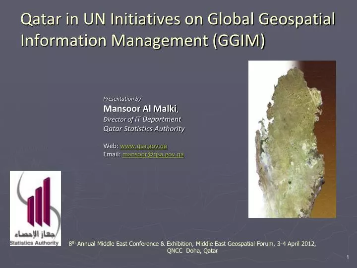
Qatar in UN Initiatives on Global Geospatial Information Management (GGIM) Presentation by Mansoor Al Malki, Director of IT Department Qatar Statistics Authority Web: www.qsa.gov.qa Email: mansoor@qsa.gov.qa 8th Annual Middle East Conference & Exhibition, Middle East Geospatial Forum, 3-4 April 2012, QNCC Doha, Qatar
Qatar in UN Initiatives on Global Geospatial Information Management (GGIM) Overview • Growing Importance of Geospatial Data in Governance • The UN Initiative on Global Geospatial Infrastructure Management (GGIM) • The Second High Level Forum Meeting & Conference on GGIM in Doha Qatar • Qatar in UN GGIM Initiatives
Growing Importance of Geospatial Data in Governance • Almost all social and economic human activity depends on location • Geospatial Information with its rapid development and easy access has become invaluable tool in researches, policy making, planning and implementation.
Growing Importance of Geospatial Data in Governance • Building Infrastructure for the gathering, processing and use of geospatial information is as important as the building of roads, electricity ,water or telecommunication network and the provision of other services and amenities. • Need for Spatially-enabled government and society.
Growing Importance of Geospatial Data in Governance • Further realization of Geospatial information technology has widely been accepted in challenges faced regionally and Globally. • Such as climate change, natural disasters, population displacement and food and economic crises etc. • These issues are of a cross-border nature requiring global, regional and national policy responses. • Thus need for developing Common Frameworks and Methodologies for Geospatial Information Management
The UN Initiatives on Global Geospatial Information Management (GGIM)
The UN-GGIM Overview • The growing realization has been towards developing at inter-country , Regional and Global level Geospatial Information required to tackle many of the Regional and Global issues. • There is no global multilateral or intergovernmental mechanism that can play an important leadership role in setting the agenda for the development of global geospatial information and promote its use to address key global challenges. • Realizing the fact United Nation has taken the initiative on Global Geospatial Information Management (UN-GGIM) and to take this important lead.
What is UN GGIM ? • GGIM is a major initiative by United Nations to bring all the governments in the world together to evolve common practices in the adoption and deployment of Geospatial Information practices.
How UN- GGIM ? • By setting up a formal mechanism under the UN auspices to discuss and coordinate GGIM activities and by involving Member States as the key players.
Why GGIM necessary? • Many international organizations/groups working on outstanding issues on geospatial information and related subjects. • UNGEGN United Nations Group of Experts on Geographical Names • UNRCC: United Nations Regional Cartographic Conferences (for Asia & The Pacific) • UNRCC: United Nations Regional Cartographic Conferences (for The Americas) • NPGI: National Policies on Geospatial Information • From UN perspective there is need of official mechanism that links the outcomes of these organizations to specific policy decisions and actions of the Member States.
Why Global Geospatial Information? There are growing number of global issues including many cross-border problems like climate change and natural disasters that no single nation or region can self-sufficiently deal with. • Existing national and regional activities would be better coordinated with a new global mechanism.
First High Level Forum on GGIM • The First High Level Forum on Global Geospatial Information Management held in Seoul, Korea in October 2011
First High Level Forum on GGIM • The need to promote international cooperation in the field of global geospatial information need for full interoperability of multi-dimensional geospatial information and • Integration with other data sources at national, regional, and global level, in order to provide an effective information base for the resolution of global and local issues, and • The need for establishing national, regional and global mechanisms for effective management and utilization of such information; • Sharing a global vision and conviction that reliable and timely geospatial information is an important basis for policy decision making, especially in the context of humanitarian assistance and sustainable development; Highlights:
First High Level Forum on GGIM • Support the initiative of UN to foster geospatial information management among UN member countries. • Strengthen the National, Regional and Global co-operation to develop interconnected global community under UN. • Promoting common framework, standards and harmonized definitions and methods to enhance the GIM at all levels. • Sharing the experiences and best practices to facilitate and promote capacity development in the developing countries. The Forum Resolved:
The Second High Level Forum on GGIM in Qatar February 2013
The Second High Level Forum on GGIM in Qatar • An honor for Qatar to host the Second High Level Forum Meeting of UN GGIM • Qatar’s overall development in many areas and specifically in the field of Nationwide Geospatial Infrastructure Development and Management are highlighted.
The Second High Level Forum on GGIM in Qatar • At QNCC , Doha, Qatar, 4-6 February 2013
The Second High Level Forum on GGIM in Qatar • The meet will function as an open forum that brings together government representatives from all UN member states as well as interested stakeholders from non-governmental organizations, academia and the private sector . • It will address and discuss critical and cutting-edge issues on global geospatial information management.
The Second High Level Forum on GGIM in Qatar • Qatar is to showcase its world class Nationwide GIS setup in the Forum • Qatar has a National GIS setup functional for almost two decades
In 1992, Qatar established a National GIS Steering Committee and the Centre for Geographic Information System (CGIS) A mandate of implementing GIS across the country in an organized and systematic fashion. Today there are more than 60 Government & Semi-Government Agencies belong to this setup of Nationwide GIS. • Geospatial Information Management in Qatar The Qatar Nationwide GIS
Geographic Information Super Highway All agencies in Qatar using GIS are connected by a high speed fibre optic network called GISnet. • Geospatial Information Management in Qatar Land Registration Agriculture Drainage Water Electricity Cadastral Education Qatar University Environment Police. Qatar Statistics (QSA) Fisheries Telecom Building Engineering Roads Petroleum & Gas Health
All type of Digital Geographic Information including Base Maps, GPS Coordinates, Ortho and Satellite Images available on-line to the Agencies • Geospatial Information Management in Qatar
Topographic -CGIS Administrative Boundaries- Urban Planning (LIC) Ortho & Satellite Images – CGIS Census Boundaries - QSA Base Maps for Statistical Operations Road Network- PWA (Asghal) Landmarks – CGIS Utilities Network- Kahrama/ Qtel Geographic Names – CGIS Land Parcel & Streets- Urban Planning (LIC-UPDA) QP Admin Areas- Qatar Petroleum Farms- Agriculture (Environment Ministry) Amenities- Education/Health Ministry • Geospatial Information Management in Qatar • Up-to-date Geospatial & Statistical Information Shared on-line
Qatar in UN GGIM Initiatives • Accepting to host 2nd High level Forum Meet on GGIM, Qatar has shown keen interest in the UN initiatives on Global Geospatial Information Management. • Qatari Delegates attended the First High Level Forum of GGIM in Korea last November and represented Qatar's situation and support in developing GGIM.
Qatar in UN GGIM Initiatives • Recommendations for further discussions: • Involve all the related agencies in conducting the 2nd high Level GGIM – Doha -2012 • Qatar to join the United Nation Maps Group already exited. • Initiate a Geospatial GCC committee through GCC General Secretariat, (under the Gulf-Stat).
Qatar in UN GGIM Initiatives • Establish Arab Geospatial team for the Arab countries under Al-Khawarezmi committee. • Specialized Degree and Post Graduate Courses in Geospatial Information is to be started through Qatar University. • Adding Geospatial Information subject in school curriculum . • Initiate Student Geospatial Projects and Mapping Competition and to announce the results in 2nd GGIM Doha forum.
We Welcome you all to the2nd High Level Forum on Global Geospatial Information Management (GGIM) DOHA, QATAR, 4-6 February 2013
Thank You! Mansoor Al Malki, Director of IT Department Qatar Statistics Authority Web: www.qsa.gov.qa; www.qix.gov.qa Email: mansoor@qsa.gov.qa