Download
1 / 10

E N D
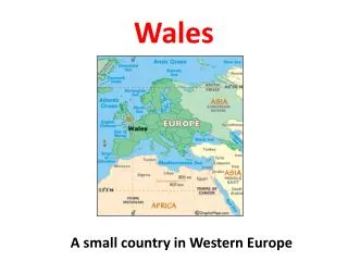
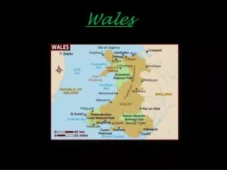
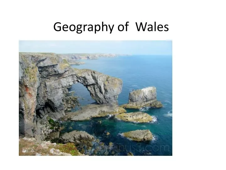
Location • Wales is bordered by England to the east and by sea in all other directions: the Irish Sea (MôrIwerddon) to the north and west, St George's Channel (Sianel San Siôr) and the Celtic Sea (Y MôrCeltaidd) to the southwest and the Bristol Channel (MôrHafren) to the south.
Size of Wales • Area - 20,779 km2 • It is about 274 km N-S and 97 km E–W. • Coastline is over 1,180 km
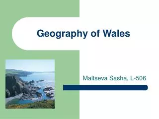
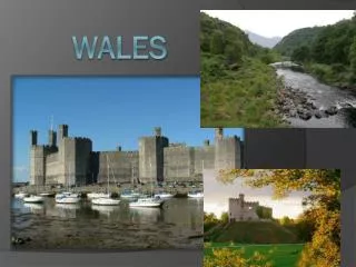
Landscape • Wales is a generally mountainous country. The mountains were shaped during the last ice age.
Snowdon (Yr Wyddfa) • 1,085 m high is the highest mountain in Wales
Waterfalls • PistyllRhaeadr is 73 metres high which is 22 metres higher than Niagra Falls. Another of our waterfalls SgwdyrEira, meaning fall of snow, is 50 feet high and is so called because of its torrential foaming white water. Pistyll Rhaeadr Sgwd Yr Eira
Lakes, seas and rivers • 488 lakes.(398 are natural) • Largest Lake: Bala (4.4 sq km) • Longest river:Towy (Tywi) 103 km
Cities of WalesCapital: CardiffMajor Cities:Swansea and Newport