Download
1 / 20
200 likes | 301 Views
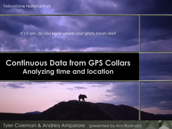
Yellowstone National Park. It’s 5 am, do you know where your grizzly bears are?. Continuous Data from GPS Collars Analyzing time and location. Tyler Coleman & Andrea Amparore (presented by Ann Rodman). The problem with so much data. GPS Collar Data.

E N D
Yellowstone National Park It’s 5 am, do you know where your grizzly bears are? Continuous Data from GPS CollarsAnalyzing time and location Tyler Coleman & Andrea Amparore (presented by Ann Rodman)
The problem with so much data . . . GPS Collar Data . . . is how quickly it gets complicated.
The Study • 15 Grizzly bears with GPS collars • location every 30 min • 75,000 locations/season • Backpacker groups with GPS units • location every 5 min • 140 trips/season • 76,000 locations/season • 74 campsites A huge amount of data !
Study Location • Bears: 75 • Hikers: 2,600 • Four bear management areas 35 miles
Management questions Humans and grizzly bears in the backcountry • How often are the bears and hikers in close proximity? • Which areas have a higher likelihood of human/bear interactions
bears Intersection hikers • Need the time and date when the tracks cross the intersection point • In the 2007 data there are more than 15,000 of these intersection points 10:30:18 6/25/2007 10:16:23 6/25/2007 10:21:28 6/25/2007 10:00:14 6/25/2007 10:19:32 6/25/2007
Linear Referencing Time - bears • Use GPS points to add time to lines • Need consecutive numbers • Clean up GPS data • Convert from date/time to decimal hours • start midnight 1/1/07 10:30:18 6/25/2007 4186.50 hrs 10:13:28 6/25/2007 4186.22 hrs begin end begin 10:00:14 6/25/2007 4186.00 hrs
Linear Referencing Time - people Bear crosses point Hikers cross point Time difference 10:13:28 6/25/2007 4186.22 hrs 10:18:48 6/25/2007 4186.31 hrs 5:20 0.09 hrs 10:16:23 6/25/2007 4186.27 hrs begin 10:18:48 6/25/2007 4186.31 hrs end 10:21:28 6/25/2007 4186.36 hrs begin 10:19:32 6/25/2007 4186.33 hrs end
bears No intersection hikers How often do bear and hiker routes come close to each other without crossing? 3786.16 hrs 3786.22 hrs 3786.21 hrs 3786.28 hrs
Management questions Campsites: Do bears . . . • go into occupied campsites? • enter during the day or during the night?
Bears and campsites What is the timing?
Buffered campsite Campsite buffer 500 m (sight) 100 m (noise) 50 m (core area) 10 m (campsite) Bear route with time
Data clock chart Within 500 m Within 50 m Tracking Analyst display
Data view Bears Campers
Campsite “timelines” Begin (3/25) End (11/30) timeline route for a campsite 2000 8000 6000 hours (250 days) People in camp (linear event along route) intersect Bear in camp (point event) Bear in occupied camp (point event)
Comparing Campsites Bears early Bears all season Bears late Unpopular with bears and people
Comments, questions, ideas, and red flags are all welcome Ann_Rodman@nps.gov Tyler_Coleman@nps.gov