Download
1 / 28
280 likes | 514 Views
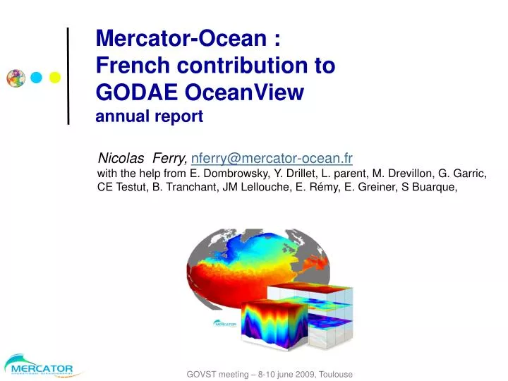
Mercator-Ocean : French contribution to GODAE OceanView annual report. Nicolas Ferry, nferry@mercator-ocean.fr with the help from E. Dombrowsky, Y. Drillet, L. parent, M. Drevillon, G. Garric, CE Testut, B. Tranchant, JM Lellouche, E. Rémy, E. Greiner, S Buarque, . Outline.

E N D
Mercator-Ocean : French contribution to GODAE OceanViewannual report Nicolas Ferry, nferry@mercator-ocean.frwith the help from E. Dombrowsky, Y. Drillet, L. parent, M. Drevillon, G. Garric, CE Testut, B. Tranchant, JM Lellouche, E. Rémy, E. Greiner, S Buarque, GOVST meeting – 8-10 june 2009, Toulouse
Outline • System & services overview • - Progresses since GODAE final symposium • - In the near future…
System & services overview • - Progresses since GODAE final symposium • - In the near future
Introduction (1/2) • Mercator Océan : • Legal entity owned by CNES, CNRS, IRD, IFREMER, Météo-France and SHOM • Mercator Océan is an operational, global, real-time ocean forecast service provider • Its activity follows 3 main axes: • Exploit and maintain real-time numerical ocean forecast systems • Ensure service level as required by its users, and promotes the development of downstream services at the Global scale • Prepare service evolutions to maintain service qualityclose to the state of the art
Introduction (2/2) • System suite developed and operated • North Atlantic + Med eddy resolving (routine) • Global eddy permitting (routine) and low resolution (routine) • Global eddy resolving (demo in April 2008) • Methodology defined, and tools implemented for assessment and validation • GoDAEMetrics • Links with data centers developed • CORIOLIS for the In Situ observing system • SSALTO/DUACS for the altimetry • Météo-France for the SST (to evolve within MyOcean) and Forcing • Connection with other operational oceanography centers established • Within EU-GMES : MyOcean project started 1st April 2009 UKMO, NERSC, INGV, DMI, DFO… • Bilateral collaborations • MOON (Med sea), GOAPP (DFO/EC Canada), … • International • GoDAE, EuroGOOS, …
1 point sur 12 ORCA025 ORCA12 ATL12 NEATL36 The model configurations • 1 code : NEMO (OPA9+LIM) • 1 grid : all the configurations are on the same ORCA (tripolar) grid • One single input dataset : initialization and forcing interpolated inline • Some of these configurations are shared with the scientific and operational community • ORCA025: Drakkar and GLORYS Project, Barnier et al. • UKMO, CMCC, ECMWF, DFO, …
V(k) U(k) Hbar S(k) T(k) Ubar , Vbar Ψ + Ugeo , Vgeo T , S The assimilation scheme: SAM2(Kalman Filter type) SAM2v1: SEEK filter using multivariate 3D error modes Model initialisation SAM2 kernel SEEK Analysis Control Space Barotropic U, V Modal Space (Reduced Space) Baroclinic 3D modes acting on 3D space
Several model configurations operated for several uses • Regional eddy resolving (2002) • North Atlantic + Mediterranean • operational: 5-7 km, OPA8, ROOI assimilation of alti. T/S and SST • From April 2008: 1/12° (6.5 km at 45°N), NEMO/LIM, SEEK assim. of alti, T/S and SST, daily fcst • Target: mesoscale upper ocean, downscaling to smaller regional and coastal regions, … • Global eddy permitting (09/2005 ) • operational: ¼°, OPA8, ROOI assimilation of alti only • From April 2008: ¼°,NEMO/LIM, SEEKassim. of alti, T/S and SST • Has been operated in demo mode during Mersea TOP2: AprilSept 2007 • Target: global ocean climate monitoring, biology, sea ice, reanalysis, … • Global low resolution (05/2004 ) • Today: 2°, OPA8, SEEKassim of alti, T/S and SST • Target: oceanic initial conditions for coupled seasonal prediction, reanalysis • Global eddy resolving (to be operational at the end of MyOcean) • NEMO/LIM+SEEK 1/12° • Has been demonstrated in April 2008 • Target: Global Marine Core Service and downscaling to European regions • Northeastern Atlantic high resolution (to be operational at the end of MyOcean) • NEMO 1/36° +SEEK + Tidal free surface • Target: IBIROOS Marine Core Service Boundary data to coastal systems
Nov 07 Apr 08 Nov 07 Apr 08 System performance: SLAGlobal 1/4° (Left) versus Global 1/12° (Right) + ~ = +
Mercator 1/12° April 21 2008 Mercator 1/4 April 21 2008 OSTIA April 21 2008
Front and eddies with potential acoustic impact detected by Navy forecasters and delivered to Navy headquarters for operations at sea SERVICES:Delineated eddies and frontsFrench Navy product based on Mercator
Assim of: In situ T/S + RTG SST + • No alt • Jason • Jason + Envisat • Jason + Envisat + GFO (baseline) • Jason + Envisat + GFO + T/P • Progressive loss ( ) Shown here diags from innovation: Obs (not yet assimilated) - Forecast Full domain RMS(Obs-Expi)-RMS(Obs-Baseline) RMS(Obs) POMME region Cape Verde region > 0 means degradation in % 0 is the baseline (3 sats) < 0 means improvement in % SERVICES: Observing systems impact studies:Impact of altimeter data coverage Benkiran, 2008
- System overview • - Present capacity and services • - Progresses since GODAE final symposium • - Future plans
Progresses since GODAE final symposium GLORYS-1V1 : 2002-2008 global ocean reanalysis at ¼° produced and available - GLORYS : French initiative supported by GMMC (Mercator-Coriolis) - Involves French oceanography labs (LEGI, LPO, LOS, CNRM,LOCEAN) and Mercator + Coriolis - European level: MyOcean project, - International level: contribution to CLIVAR GSOP - OBJECTIVE : obtain an eddy permitting (1/4°) realistic 4D description of the ocean history:
GLORYS: different Streams Obs. / 7 days GLORYS-1 T/S prof.: 2000~4500 SST: 0,5°x0,5° 0,1°x0,1° SLA: ~75000 Stream1: 2002-2008“ARGO” GLORYS-2 T/S prof.: ~1000 SST:1°x1° SLA: 12000~50000 Stream2: 1993-2008 “Altimetry” GLORYS-3 T/S prof.: 800< SST: 1°x1° or coarser SLA: NO DATA Stream3: 1958-2008 ERA-40 Time schedule: 2008: Stream1 2009: Stream2 2010-11 Stream3
Overview of GLORYS reanalysis system Reanalysis system : Based on the current global operational forecasting system + customization - Use NEMO: ocean model with ORCA025 grid + LIM2_EVP sea-ice model - Data assimilation engine : Based on SEEK filter (Pham et al., 1998) - Incremental Analysis Update (IAU) approach continuous time solution Assimilated Observations: • Altimetry : along track SLA data SSALTO/DUACS (T/P, Envisat, GFO, Jason1) • SST: NCEP RTG 0.5° product • In situ T, S: CORA-02 Q.C. data base provided by CORIOLIS
Results: Nov 2001 - April 2008comparison with assimilated data Mean misfit SLA Obs-Fcst TEMPERATURE Obs-Fcst 0 Rms misfit ~ 8cm Rms misfit 1°C
GLORYS SST RTG NCEP SST: assimilated data Reynolds ¼° AVHRR-AMSR OIv2 0.25° 0.5° Example of SST patterns in the Gulf Stream region for 9th April 2008: OSTIA SST: used in verification mode ODYSSEA SST 0.1° 0.05°
SLA Std. Dev. 2002 – 2007 GLORYS1 Aviso Altimetry
GLORYS : Global Ocean Heat Budget 20 HEAT CHANGE INDUCED BY DATA ASSIMILATION TOTAL OCEAN HEAT CHANGE W/m2 0 -12 SURFACE HEAT FLUX Global mean equivalent Heat Flux
SSH budget: baroclinic and barotropic contributions baroclinic SSH barotropic
Water Mass Budget GLORYS1V1 GRACE data Estimation based on GRACE data Water Mass budget: Global Mean SSH – dynamic height J. Famiglietti et al., 2008 seasonal signal: ~15 mm amplitudemaximum in autumn
Arctic GLORYS with LIM2_EVP CERSAT DATA Correlation: 0.8 Sea Ice Sea ice extent monthly anomalies
- System & services overview • - Present capacity and services • - Progresses since GODAE final symposium • - In the near Future
In the near future (1/2) • MyOcean project has started (April 2009- April 2012) • MyOcean will strongly drive Mercator activity next 3 years • main challenge for Mercator (& other MyOcean oceanography centers) : improve the quality of operational systems, i.e: - Keep as close as possible to the state-of-the-art in an operational context • - Ensure continuity of service with strongly evolving systems • - Meet users expectations in terms of product quality • New operational systems are planned : • - Global eddy resolving (1/12°) : demo mode in december 2009 - High resolution (1/36°) in the Iberian Biscay Irish region (IBIROOS) 2011 • Real Time: • - Weekly assimilation and medium range forecast O(2 weeks) • - Daily forecast cycle O(1 week) GLO1/4°+NATL1/12°
In the near future (2/2) • Reanalysis activity: • - GLORYS1V2 : Version 2 of Stream 1 (2002-2008) improved data assimilation engine (covariances, bias correction…) produced end 2009 • - GLORYS: 15-year reanalysis (1993-2008) within MyOcean 2010 • R&D: • - data assimilation of Ice drift / concentration • - HR SST data assimilation • - Biogeochemical global analyses