Download
1 / 15
150 likes | 159 Views
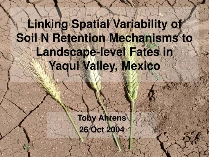
Linking Spatial Variability of Soil N Retention Mechanisms to Landscape-level Fates in Yaqui Valley, Mexico. Toby Ahrens 26 Oct 2004. Goals. Quantify degrees of N contamination under different management regimes Investigate the value of spatial data sets varying in resolution

E N D
Linking Spatial Variability of Soil N Retention Mechanisms to Landscape-level Fates in Yaqui Valley, Mexico Toby Ahrens 26 Oct 2004
Goals • Quantify degrees of N contamination under different management regimes • Investigate the value of spatial data sets varying in resolution • Integrate 10+ yrs of biogeochemistry research in the Valley
What do I need to do to get there? • Link process and transport models • Improve process models • Include abiotic retention mechanisms • Develop spatial data sets • Eg. soil type, texture, mineralogy, management, leaching potential
Coastal eutrophication Declassified Keyhole satellite image March 8, 1978 (Thanks Mike!)
Nitrate-contaminated groundwater <10 ppm 10-40 ppm 116 ppm Hungate, unpublished data, 1997-98
Two Q’s guiding my efforts: • What soil characteristics control N availability, retention and loss in OM-deficient ag soils? • Can the spatial variability of these characteristics be linked to aqueous N fates throughout the Valley?
Model schematic… soil properties soil mineralogy crop yield (+N use) management unit crop type groundwater depth NLOSS Solute transport un/saturated boundary conditions • Output maps: • Leaching vulnerability • Aquifer contamination • Coastal N sources
Major modeling efforts: • Soil submodel including sorption isotherms and mineral fixation • Solute transport component to saturated hydrology model • Saturated/unsaturated boundary layer conditions • Spatial data referencing
Applied N: 250 kg/ha Gaseous losses: NO+N2O: 2-5% NH3: __% N2: __% Plant uptake: 31% Drainage canals: NO3- + NH4+: 2-5% NO+N2O: <0.1% ? Leached: 2-5% (14-26%) ? ? References: Riley et al. 2001 Harrison 2003 Matson et al. 1998 Ortiz-Monasterio, pers. comm. ?
Applied N: 250 kg/ha Gaseous losses: NO+N2O: 2-5% NH3: __% N2: __% Plant uptake: 31% Drainage canals: NO3- + NH4+: 2-5% NO+N2O: <0.1% ? Leached: 2-5% (14-26%) • Field experiments: • abiotic fixation • link leaching potential • to actual fates ? ? ?
Future directions and broader implications… • Does better spatial resolution increase our ability to predict SW/GW vulnerability? • And the degree of how mechanistic submodels are? • Identify thresholds for N retention • Or pesticides… • Investigate management scenarios • Different irrigation or fertilization regimes
Policy implications • The Danish and Dutch experiences: • N control policies aimed at reducing N leaching (SW + GW) and NH3 and N2O emissions • Importance of model validation