Download
1 / 12
120 likes | 218 Views
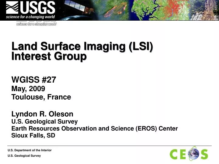
Land Surface Imaging (LSI) Interest Group. WGISS #27 May, 2009 Toulouse, France Lyndon R. Oleson U.S. Geological Survey Earth Resources Observation and Science (EROS) Center Sioux Falls, SD. LSI Interest Group. Agenda.

E N D
Land Surface Imaging (LSI)Interest Group WGISS #27 May, 2009 Toulouse, France Lyndon R. Oleson U.S. Geological Survey Earth Resources Observation and Science (EROS) Center Sioux Falls, SD
LSI Interest Group • Agenda 10:45 - 11:00 LSI Interest Group Status and Overview Lyn Oleson 11:00 - 11:20 INPE LSI Constellation Ideas and Plans Julio Dalge 11:20 - 11:35 Ideas for Future LSI Portal Enhancements Paul Davis 11:35 - 10:45 Recommendations to WGISS Lyn Oleson (including Security comments)
LSI Interest Group • Status • A prototype LSI Constellation Portal for Mid-Resolution Optical LSI Satellite System Information and Enhanced Data Access was developed in cooperation with CEOS WGISS, and demo’ed at GEO V in Bucharest. • LSI Constellation Portal now operational
LSI Interest Group • From presentation by Dr. Bryan Bailey to CEOS SIT, March 2009. • The 2009 LSI Constellation Work Plan focuses on completing and sustaining current and ongoing activities. • LSI Constellation Portal for Mid-Resolution Optical LSI Satellite System Information and Enhanced Data Access will be released by March 31. • In cooperation with WGISS, the LSI Portal will be enhanced to include other LSI satellite system data, as well as increased functionality. • Definition of standards for future mid-resolution, optical satellite systems is scheduled for completion in September. • The WGR likely will focus on facilitating application of CEOS agency radar data to the GEO task on Forest Carbon Tracking and on promotion of operational polarimetric SAR systems. • INPE will complete development of the web-based services or freeware. • The WGRDSC will continue to compile regional data sets and plan for its contributions to GLS2010.
LSI Interest Group • From the LSI Constellation 2009 Work Plan • INPE will prepare and circulate plans for development of format conversion and orthorectified image generation capabilities. • The plans will identify the types of information they require from the contributing agencies, and the LSI Constellation Co-Chairs with be responsible for requesting the agencies to provide the needed information. • How might WGISS be of help? • Presentation by Julio Dalge • INPE LSI Constellation Ideas and Plans
LSI Interest Group • Possible areas of LSI Portal enhancements? • Presentation by Paul Davis, University of Maryland • Future Editions under discussion to provide access to LSIC: • Coordinated Sample Data Collections • Attribute search function, via postgreSQL database • Plan prototype interface attachment for map searching • Access open archives for ‘virtual’ searching
LSI Interest Group LSI Constellation Portal Service Interface Service Interface Service Interface Agency Servers Data and Information Data and Information Data and Information
LSI Interest Group • LSI Portal Next Steps? • Work with LSI Constellation Study Team via Dr. Bailey to identify and prioritize portal enhancements • Possibly pursue some prototype/demonstration enhancements with two or more LSI Constellation members • Demonstrate cross-system, granule level, search and retrieval • Additional attributes • Browse imagery • Geographic query • Possibly employ some standard or non-standard web service interfaces to agency servers • Would need to identify agency information system points of contact and bring them into the portal project team to • participate in defining best, standards-based approach. • Identify possible reuse of an existing query user interface
LSI Interest Group • Recommendations to WGISS? • Contact LSI Constellation Study Team to specifically identify next phase enhancements and prepare specific project plan for presentation at next WGISS • Specific support to INPE efforts? • Security Comments? • Simple clearinghouse application presently thus simple security measures • However, if we expand to cross-system, granule level queries, security complexity will increase significantly