Download
1 / 18
180 likes | 252 Views
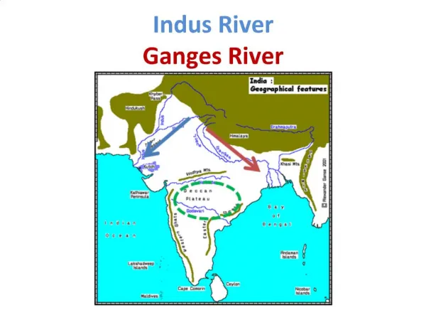
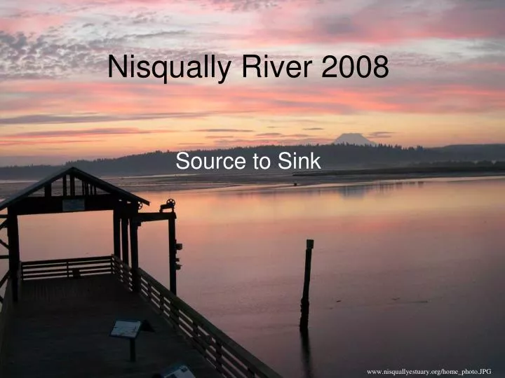
Nisqually River 2008. Source to Sink. www.nisquallyestuary.org/home_photo.JPG. Nisqually Field Trip Overview.

E N D
Nisqually River 2008 Source to Sink www.nisquallyestuary.org/home_photo.JPG
This is where we will park on a parking lot, and walk over a car bridge with a scary low handrail. It offers a good view up to the barren rocky glacier-clad slopes, and down to the lush forested alluvial valley. Paradise Rd. Bridge
This is a site where wood and river begin to interact. There is demonstration of sediment concentration in the flow, and the erosive power of suspended sediment. Nice boulder and cobble bed and aggraded gravel bars. Nisqually@ Abraded Tree
The largest debris flow in park history occurred here on 2-3 Oct., 1947. Heavy rain apparently triggered an outburst flood from Kautz Glacier. The flood eroded a gorge through the ice, then transformed into a debris flow continuing downvalley. The road was buried by 9 m of mud and debris. About 40 million cubic meters of sediment were moved, including boulders up to 4 m in diameter. Kautz Creek
Kautz Creek has cut down through those deposits, but the road approach now goes uphill to the creek. Deposits of the 1947 event can be observed, along with upright dead trees partly buried by those deposits, and scoured out again by later flows . Smaller debris flows have moved along Kautz Creek in 1961, 1985, 1986, and perhaps at other times. (modified from USGS) Kautz Creek Bridge
Alder Lake Alder Lake Dam was constructed in 1945. The upstream end of the lake (below) is exposed as summer water levels drop in the reservoir. During periods of draught, tree stumps and the abandoned town of Alder are exposed.
The river rapidly deposits sediment at the delta because all but the finest sediment settles into the lake. Note how the channel widens and forms distributaries. These channels rework the sediment as the delta front advances. Nisqually river @ Alder lake (Elbe)
Nisqually@Alder Lake Dam There is an upper and a lower site here. The "overlook" is up a bit, so you get a more panoramic view of the dam face and reservoir. But you can't see the caged river below the dam. The site next to the dam gives a good view of the river below the dam, the dam face, and the lake upstream.
Nisqually@WDFW HNDCP This stop highlights lowland river processes. An old channel of the river is visible (where?). The upstream and downstream ends are vegetated, with an open-water wetland in between.
This site has a nice gravel bar, and wood is visible on the right bank in aerial imagery. Also the hardwoods on the RB occupy an old side channel that looks like a sweet little coho nursery. Nisqually River @ Nisqually HNDCP
Nisqually Estuary @ Nisqually Nature Ctr. This is an aerial of the Nature Center at ~high tide.
Nisqually Estuary @ Nisqually Nature Ctr. This is an aerial of the Nature Center at ~low tide.
from source… …to sink