Download
1 / 17
170 likes | 290 Views
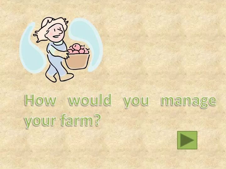
How would you manage your farm?. You are the owner of a 10000 acre farm, and you are growing many different crops in your farm…. You want to check your corn, what would you do?. A Go to the field by yourself. B Use remote sensing tools. C I don’t care. Opps.

E N D
You are the owner of a 10000 acre farm, and you are growing many different crops in your farm…
You want to check your corn, what would you do? A Go to the field by yourself B Use remote sensing tools C I don’t care
Opps There is a drought happening in your farm but you don’t know anything about it. All of your crops are died
You go to the field After you checked every corn field and came back home 5 days later, you found out you need to go to the field again to check your wheat
You found out you have many options, what would you choose? A Use Google Earth B Use aerial photos C Use satellite images
I have seen my farm but… What happened? My corn is still green!
Google Earth use satellite images but it is updated in a very low frequency (The image shown was captured in 2012), or in another word, it has a very low temporal resolution. Hence it is not a valid way of monitoring your crops using Google Earth
You decide to use aerial photos You contact a aerial photography company and get a very high-resolution image of your farm taken. You checked everything and they are all in perfect condition.
One week after… You received a bill from the aerial photography company
You decide to use satellite images You found out that when you displayed the satellite image, there are many “bands” available. You chose to display A True color image B False color image C Something amazing
True color image True color image is displaying red stuff as red, green as green and blue as blue, i.e. the color in real world. You checked your crops in true color image, but you are not sure if they are all healthy or not, since they all appear to be green.
False color image False color image use blue to displayed green stuff, red to display blue, and red to display Near Infrared (NIR, an invisible type light but can be captured by sensors). Sounds confusing, but actually it would be very helpful to you.
In this case, your healthy crops would be appears to be bright red because it reflects lots of NIR back to the sensor. While the unhealthy crops will have a color darker
Something amazing You can not only display bands in different combination, but also use it to produce more complicated image which would be able to describe the health condition of your crops more accurately. NVDI
NVDI NDVI is Normalized Difference Vegetation Index.. It is calculated by using Near Infrared and red light reflectance. It would be a better indicator of healthy crops.
Now you have learned how to monitor your farm properly Ready for the harvest?