Download
1 / 42
420 likes | 553 Views
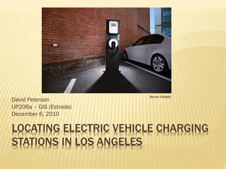
Source: Ecotality. David Peterson UP206a – GIS (Estrada) December 6, 2010. Locating Electric vehicle charging stations in Los angeles. Mayor wants LA to be #1 city for EVs EVSE can influence adoption rates Where will public investment in EVSEs generate highest benefit?. introduction.

E N D
Source: Ecotality David Peterson UP206a – GIS (Estrada) December 6, 2010 Locating Electric vehicle charging stations in Los angeles
Mayor wants LA to be #1 city for EVs EVSE can influence adoption rates Where will public investment in EVSEs generate highest benefit? introduction
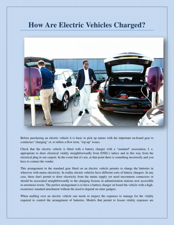
EVs require a completely new infrastructure to connect to electricity grid Single-family residential: not an issue Problem statement
Focus on Problem Areas: • Multi-family residential • Employment Centers • Commercial Centers Problem statement
Goal: • Anticipate concentrations of EV ownership • Use 2008 Hybrid ownership data as proxy for EV ownership • Origins: Multifamily residential problem • Destinations: Making sure they can charge at destination Methodology
Absolute number of vehicles? Percent capture of total vehicles in LA? Percent of total vehicles within zip code? Origins: measuring hybrid ownership
Zip Code 90501: • #1 for vehicles: 2,537 • #8 In terms of Percent of Local Zip Code • Zip Code 90001: • #2 for Penetration of Local Zip Code • Only has 2 vehicles! • What’s the best measurement?
41,079 hybrids in LA 12,948 in the top 10 (32%) Top 10 LA Zip codes: hybrid ownership
In top 10, what is percent housing type? Data Problem: don’t know housing type by hybrid vehicle ownership. Assumption: Hybrid owners reflect zip code housing type distribution Origin: multifamily housing problem
90071: no housing, but ranks 5th (1,070) by total hybrids – must be government/business/etc. • Multifamily charging is an issue: • Mix of SFR and MFR • Range 15% to 73% • Mean: 41% Origin: multifamily housing problem
Index that combines vehicle ownership and multifamily housing • Greater weight on more vehicles (1-4) • Greater weight on more MFR (1-4) • Combine to create Investment Prioritization Index Hotspot Analysis • Index=[vehicles_weighted]+[MFR_weighted] Origins: prioritizing investment
Data Problem: don’t know exactly where hybrid owners commute • Assumption: use zip code trip distribution • Methodology: • Weight % allocation of trips by actual number of hybrid vehicles in origin zip codes • Aggregate for a complete picture of destinations Destinations: hybrid commutes
Is destination charging a real concern? Average Commute range: 40 miles (r/t) Battery Range: 80-100 Miles Not a real concern given current travel behavior, but people might travel differently with EVs Destinations: hybrid commutes
Use Index to Allocate Funds to Origin Zip Codes that will benefit the most. • Know the top 10 destinations for these origins. • Not imperative to invest in public charging given vehicle range • Need to monitor/track travel behavior • Providing EVSEs at these stations could induce greater adoption (but is it best use of public funds? Conclusion
Appendix A: Models Appendix B: Original Map Layer Appendix C: Metadata Appendix D: Map with 7 Layers Appendix E: Skills Questions?
Model for Rasterizing Layers for index/hotspot analysis inputs Appendix A: model
Model for 50-mile buffer Appendix A: model
Model for Clipping Buffer to Land Contours Appendix A: model
Slide 8 • Inset Map • Geoprocessing: clipped California zip code files • Slide 10 • tables • Slides 11/12: • Attribute sub-set selection based on number of hybrid vehicles Appendix e: Skills & associated problems
Slides 13/15 • Tables • Slide 17: • Sub-set selection; Pie charts • Slides 19/20/21 • Rasterization of data layers using a model • Creation of Index for Hotspot Analysis using a model • Use of Spatial Analyst Appendix e: Skills & associated problems
Slide 22: • Table • Slide 25: • Used model to create distance buffer from top 10 zip code centroids • Slide 26: • Use of Network Analyst to generate database file and OD Cost matrix • Slide 27: • Table Appendix e: Skills & associated problems
Slide 28/29: • Attribute sub-set selection • Slide 30: • Table • Slides 33-35: • Models • Slide 36 • Original Map Layer • Slide 37: • Creation of Metadata • x Appendix e: Skills & associated problems