Download
1 / 43
430 likes | 578 Views
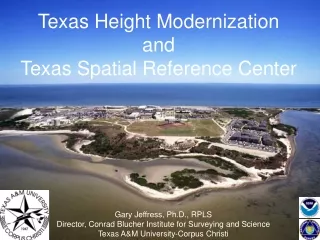
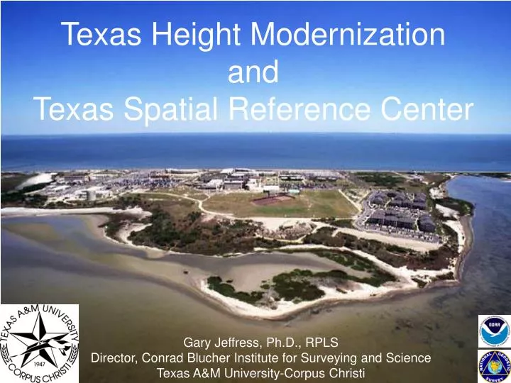
Texas Height Modernization and Texas Spatial Reference Center. Gary Jeffress, Ph.D., RPLS Director, Conrad Blucher Institute for Surveying and Science Texas A&M University-Corpus Christi. It is about better measurement of heights or elevations in Texas. How high above Mean Sea Level?

E N D
Texas Height ModernizationandTexas Spatial Reference Center Gary Jeffress, Ph.D., RPLS Director, Conrad Blucher Institute for Surveying and Science Texas A&M University-Corpus Christi
It is about better measurement of heights or elevations in Texas How high above Mean Sea Level? Do I live in a flood zone? Can I get flood insurance?
Why do we need accurate elevations? Lives are lost and $Billions of property are lost. Austin, 1991 Houston, 2001
The cost of flooding in Texas From www.floodsafety.com
NGVD NAVD
So, the US Quad sheets are very out-of-date.Hence, the need for StratmapandLIDAR Mapping.What controls this new mapping?
How do we observe elevation? Using a level instrument and Rods graduated in feet.
VERTICAL DATUMS A set of fundamental elevations to which other elevations are referred. H = Orthometric Height(NAVD 88) H=h-N h = Ellipsoidal Height (NAD 83) N = Geoid Height (GEOID 03) TOPOGRAPHIC SURFACE h H N GEOID03 Geoid Mean Sea Level Ellipsoid GRS80
COMPARISON OF VERTICAL DATUM ELEMENTS NGVD 29NAVD 88 • DATUM DEFINITION 26 TIDE GAUGES FATHER’S POINT/RIMOUSKI • IN THE U.S. & CANADA QUEBEC, CANADA • BENCH MARKS 100,000 450,000 • LEVELING (Km) 102,724 1,001,500 • GEOID FITTING Distorted to Fit MSL Gauges Best Continental Model
Texas Height ModernizationGoals • Re-establish NAVD 88 elevations in Texas to national (NGS) standards. • Train Texas Surveyors and Engineers to establish elevations to NGS standards. • Connect NAVD 88 heights to Texas Coastal Ocean Observation Network. • Determining valid NAVD 88 heights for Texas CORS Antenna Reference Points. • Expand the use of GPS for elevation determination.
Texas Height ModernizationGoals • Determine elevations for all Hurricane Evacuation Routes in Texas. • Upgrade leveling software and procedures. • Establish Texas Spatial Reference Center. • Build an online data reference warehouse.
Results for First Year Trained 520 surveyors on NGS leveling techniques. TSPS/TxDoT Seminars in Houston 371 Arlington 48 San Antonio 58 Laredo 22 Austin 20
Results for First Year • Let 22 field work contracts to Texas surveying companies for GPS leveling to NGS standards. • 68 GPS on Benchmarks • $68,000 private sector funding • Results will improve GPS elevation observations
GPS on NAVD 88 Benchmarks Observations to TM59 standards by 22 private surveyor contractors To improve in the national GEOID model
Results for First Year • 250 kilometers of Hurricane Evacuation Route Surveys • Jefferson Co. 60 km • Calhoun/Victoria Co. 40 km • Nueces Co. 90 km • Cameron Co. 30 km
Hurricane Evacuation RouteElevation Profiling • Perform hurricane evacuation route surveys using the Applanix Pos-LV system. • Applanix system allows a vehicle to log accurate 3-D data by combining GPS + inertial sensors.
Results for First Year • NAVD 88 elevations on four CORS sites • Port Aransas • Corpus Christi • Sanderson • Del Rio
(online as of September 2006) National CORS 60 TXDoT 3 H/G Subsidence Dist. 63 Total Co-op CORS (not plotted) 28 Texas CORS Stations u Sanderson CORS u Del Rio CORS u Corpus Christi CORS u Stations re-observed by Texas Height Modernization program
Antenna side view from site TXCC Side view from NGS site
Connecting Corpus Christi CORS to NGVD 88 TXCC 234.742m CORC B 211.462m CORC A
Corpus Christi CORS ARP 17.33 m NAVD 88 ARP (old 2002) 17.317 m NAVD 88 ARP (new 2006) (to be published as 17.32 m) Antenna hardware changed 2003
Results for First Year • Software to streamline digital level observations designed and coded. • Software successfully field tested. • Results in estimated 50% increased efficiency in operator training time and field observation time.
Results for First Year • Texas Spatial Reference Center. • Letter of direction from Governor Rick Perry to establish TSRC at Texas A&M University-Corpus Christi. • Formal request submitted to Texas A&M University System.
GOVERNOR PERRY DESIGNATES TEXAS A&M CORPUS CHRISTI TO HOST THE TEXAS SPATIAL REFERENCE CENTER
Connect Texas Elevations to Texas Coastal Ocean Observation Network
CORS on NOS Tide Gauge In cooperation with Harris-Galveston Coastal Subsidence District Proposed Location NOS Gauge - Galveston Pleasure Pier
End of presentation. Beginning of solution….