Download
1 / 13
160 likes | 338 Views
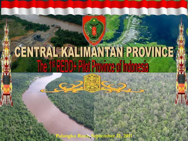
CENTRAL KALIMANTAN PROVINCE. The 1 st REDD+ Pilot Province of Indonesia. Palangka Raya, September 21, 2011. Spatial Profile. THE THIRD LARGEST PROVINCE IN INDONESIA. Total area : 15.36 m Ha Km 2 (about 1.5x Java island)

E N D
CENTRAL KALIMANTAN PROVINCE The 1st REDD+ Pilot Province of Indonesia Palangka Raya, September 21, 2011
Spatial Profile THE THIRD LARGEST PROVINCE IN INDONESIA • Total area : 15.36 m Ha Km2 (about 1.5x Java island) • Situated in the equator line at 00 45' N to 30 30' S and 1110 to 1160 E • Population: 2.20 million • Density: 14 person/km2 Situated in the middle of the Asia Pacific Region
Sabah, Malaysia Brunai Darussalam Sarawak, Malaysia South China Sea East Kalimantan Iban Apo Kayan Muller West Kalimantan Makassar Strait Schwanner Central Kalimantan South Kalimantan Java Sea GEOGRAPHICAL POSITION
Gunung Mas Murung Raya ADMINISTRATIVE MAP 13 Districts 1 Municipality 129 Sub-districts, 1.480 Villages Palangka Raya Barito Utara Lamandau Barito Selatan Sukamara Ktw Barat Barito Timur Seruyan Kapuas Ktw Timur Katingan Pulang Pisau
TOPOGRAHIC FEATURES 11 Big rivers and many small rivers flow from the North to the Java Sea in the South Mountainuous area, average slope 25 % Muller – Schwanner mountainous area, average slope > 40 %, integral part of Heart of Borneo (HoB) initiative programme Lowland dominated by wetlands and peatlands with average slope 0 – 8%
Commitment for Conservation Natural Reserve Bukit Baka Bukit Raya National Park KFCP, 1ST DA REDD+ Tanjung Puting National Park Rehabilitation of EMRP Sebangau National Park
Heart of Borneo (HoB) Conservation Program Commitment for Conservation RIVER BASIN OF BORNEO ISLAND
ASPECTS • Reducing Deforestation Economic Growth • Reducing Degradation National • Conservation • Sustainable Management of Forest Emission Reduction • Enhancing Carbon Stock Central Kalimantan 4wd Strategy Pro Growth: eco growth 7.5% Pro Poor: poverty level down to 2% Pro Job: unemploy level down to 2%, Pro Green: C emission reduction 26-41% from BAU
Strategy, MRV and participatory land use mapping at community level
SOME SIGNIFICANT ACTIVITIES AS THE REDD+ PILOT PROVINCE Continuing socialization and dissemination to broader stakeholders about REDD+ , its aspects and our mandate as the pilot province Starting the development of Provincial REDD+ Strategy following finalization of National REDD+ Strategy Developing Center of Excellence (CoE) MRV for REDD+ at Palangka Raya University in cooperation with Hokkaido University and many other partners Assessing the potential use of laser altimetry or Lidar survey , in cooperation with KFCP and Kalteng Consultants, for REDD+ MRV system Initiating the MRV nested accounting system in cooperation with INCAS (Indonesia National Carbon Accounting System) Preparing initiative for resolving tenurial conflicts through developing effort for having one baseline and base map system integrated with participatory mapping and cadastral system (on tendering process through UNDP) Kahayan Bridge
GOVERNOR OF CENTRAL KALIMANTAN Thank you for attention 41