Download
1 / 14
140 likes | 156 Views
National Hydrography Dataset Plus ( NHD Plus) Applications Sampler Tommy Dewald / USEPA Office of Water. http://www.wordle.net. Arc Hydro River Workshop Austin, TX – Dec 1-3, 2010. National Wildlife Refuge System. National Fish Hatchery System. Impaired Waters. Co-Occurrence of

E N D
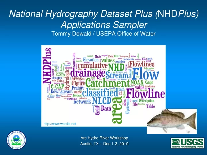
National Hydrography Dataset Plus (NHDPlus)Applications SamplerTommy Dewald / USEPA Office of Water http://www.wordle.net Arc Hydro River Workshop Austin, TX – Dec 1-3, 2010
National Wildlife Refuge System National Fish Hatchery System Impaired Waters Co-Occurrence of Impaired Waters and FWS Properties An EPA, FWS and USGS Joint National Assessment
Other Noteworthy NHDPlus Applications • First ever spatially-based national pesticide risk assessment • Clean Water Act jurisdictional analysis update • ESRI Hydro Base Map • Native American historical migration paths • Aquatic habitat classification • Mapping Critical Loads of Atmospheric Nitrogen Deposition in the Rocky Mountains (Share your NHDPlus applications with others at www.epa.gov/waters > NHDPlus Quicklink)
WQSDB GRTS Water Quality Standards Nonpoint Source Grants National Hydrography Dataset Plus ATTAINS STORET Water Quality Assessments, Impaired Waters & Total Maximum Daily Loads Water Quality Monitoring WATERS Data Architecture (Watershed Assessment, Tracking & Environmental ResultS) (www.epa.gov/waters) Reach Address Database (RAD)
Data Accessible Through WATERS Public Access • Listed Impaired Waters • Assessed Waters • Beaches • Clean Watershed Needs • Combined Sewer Overflows • CWSRF Benefits Reporting • Permitted Dischargers • Fish Consumption Advisories • Fish Tissue Data • Impaired Waters with TMDLs • Sewage No Discharge Zones • Nonpoint Source Projects • Water Quality Standards • Water Quality Stations Internal Access Only • Drinking Water Intakes • Source Water Areas • Special Appropriations Projects
WATERS Web Services Public facing Web services for creating and applying NHD events and NHDPlus, including mapping services Enhanced from DB and SOAP to HTTP/REST Code playground and javascript library Transparency and efficiency for developers Visit www.epa.gov/waters/tools Performance concerns with EPA IT infrastructure!
Viewing WATERS Data in Google Earth • Access to framework geospatial datasets stored in the WATERS Database and to general purpose interactive service panels. • Dialog boxes providing access to tools, services, and information, such as NHD feature name query, total waters, up/downstream navigation, watershed reports, ATTAINS reports, etc. • Access to indexed water program features, with hyperlinks to additional attributes, and context sensitive analysis services, such as up/downstream navigation and watershed reports. www.epa.gov/waters/tools
Geo Web Services Need to Perform • Performance issues for large data volumes • Boosting performance • Database tuning • Pre-computed network navigation attributes • Pre-computed results geometries • Cloud computing • Others? Spinning Pinwheel (formerly, the Dreaded Dancing Dot)
Delivering web-based hydromap displayandnetwork-based discovery and analysis International view Hydro Network Catalog Containers HUCs Catchments Events National view HUCs • MRB • HUC2 • HUC4 • HUC6 • HUC8 • HUC10 • HUC12 Attributes Linked Data (raw data and analytical results) Esri hydro base map (15+ layers) HUC Attributes Catchments 100k view (Med res) Drainage Areas (watersheds) Catchment Attributes Events Event Attributes 24k or better view (High res)
Questions? Tommy Dewald, USEPA Office of Waterdewald.tommy@epa.gov (www.epa.gov/waters > NHDPlus Quicklink)