Download
1 / 26
260 likes | 388 Views
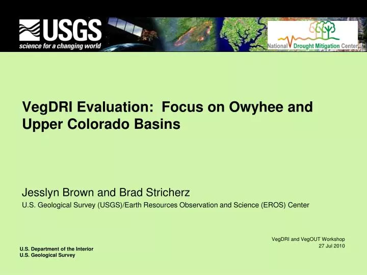
VegDRI Evaluation: Focus on Owyhee and Upper Colorado Basins. Jesslyn Brown and Brad Stricherz U.S. Geological Survey (USGS)/Earth Resources Observation and Science (EROS) Center. BLM Project. Validation of VegDRI over BLM lands Owyhee and Upper Colorado Basins

E N D
VegDRI Evaluation: Focus on Owyhee and Upper Colorado Basins Jesslyn Brown and Brad Stricherz U.S. Geological Survey (USGS)/Earth Resources Observation and Science (EROS) Center
BLM Project • Validation of VegDRI over BLM lands • Owyhee and Upper Colorado Basins • Ecosystem Performance Anomalies • Work by B. Wylie and S. Boyte
Goals for Owyhee and UCR Basins • Use RAWS data for VegDRI evaluation • Independent from VegDRI training data (Co-op and AWDN stations) • Evaluate version 4 models (released in 2010) • Evaluate eMODIS and AVHRR histories • Requires rerunning entire historical record • 1989 – 2009 for AVHRR • 2000 – 2009 for MODIS • Use staged approach
Background • Early VegDRI development—SD and NE • Prospects for monitoring western rangelands • Self-calibrated PDSI • eMODIS >> improved radiometric sensitivity and improvements in product delivery and automation allowing for weekly VegDRI production (rather than biweekly)
VegDRI Evaluation – Multiple Approaches • Statistical cross-validation of model results Correlation coefficient values ranging from 0.81 to 0.88 • Comparison with other drought indicators (i.e., USDM) • Feedback from a network of evaluators • 2010: 150+ evaluators across 30-states • state climatologists, USDM authors, and agricultural experts and producers • provide qualitative and quantitative information regarding VegDRI’s accuracy for their respective area • Comparison with various ground truth data sets USDA crop yields, clip plot biomass, and soil moisture
VegDRI Evaluation • Funding and resources demand an opportunistic and “convergence of evidence” approach to evaluation • Must be based on a variety of data • Crop yield data comparison in the “Corn Belt” • Evaluate VegDRI as an agricultural drought indicator. • Crops exhibit sensitivity to drought during different phenological stages. • Corn has known drought-sensitivity, soybeans are less sensitive. • County crop yields available yearly from USDA-NASS.
Yield and Drought--Background • Past studies show the PDSI has moderate to strong relationships with crop yields • Easterling et al., 1988, Meyer et al., 1991, Quiring and Papakryiakou, 2003, Scian and Bouza, 2005 Wu et al., 2004, and Mavromatis, 2007. • The self-calibrated PDSI is relatively new (2004) and fewer studies have been published using this index (Mavromatis, 2007).
Corn and soybean yield comparison--methods • Study Area: Nebraska • Largely agricultural state • Nearly 46 m acres of land in farms • Corn for grain (acres) – 7.3 m1 • Soybeans (acres) – 4.5 m1 • Good crop and irrigation masks2 • Nebraska 2006 and 2007 Cropland Data Layers http://www.nass.usda.gov/research/Cropland/SARS1a.htm • 2005 Nebraska Land Use—Irrigation Data Layer http://www.calmit.unl.edu/2005landuse/statewide.shtml 1 Statistics from the 2002 USDA Census of Agriculture 2 Provided by USDA/NASS and UNL-CALMIT
Very Preliminary Results p<= 0.01 R*: Spearman’s rank order correlation, 2009 only, version 3 model
Very Preliminary Results p<= 0.01 R*: Spearman’s rank order correlation, 2009 only, version 3 model
Very Preliminary Results p<= 0.01 R*: Spearman’s rank order correlation, 2009 only, version 3 model
VegDRI Evaluation: Next Steps • Evaluate model inputs within the Basins • Determine ranges of climate and satellite-based seasonal greenness • Investigate climate data quality • Treatment of winter moisture input into PDSI calculations • Rerun version 4 VegDRI histories
Big Sagebrush productivity: A time-series cluster analysis based on weather variations Cluster temporalsignatures
Satellite Data User/Decision Support System AVHRR MODIS Data Services Georegistration Compositing Surface Reflectance Stacking Smoothing Anomaly Detection Metrics Calculation (SOS, SG, PASG) Existing Vegetation Dynamics System Data Translation Partners get “Regular data over the Nation served quickly” EMODIS System Vegetation Dynamics and VegDRI Models 2009>
eMODIS Production Flow eMODIS Historical USGS/EROS Input Data Target: Monday 10:30 a.m. Terra MODIS T+24hrs LAADS USGS Drought Monitoring VegDRI MODAPS EDOS T+6hrs NIDIS Drought Portal MODIS L0 Data T+3hrs eMODIS Expedited USGS/EROS NDMC Vegetation Drought Response Index U.S. Drought Monitor MODIS L2, L1B Data LANCE
Data Continuity • Significant differences between AVHRR/3 and MODIS NDVI: 2 ~ 2.5 % on average • Polynomial regression • Bias error correction resulting in 25% reduction of variations • Second-order term statistically significant • Little impact of measurement errors • Phenology and temporal dependencies
?Questions? jfbrown@usgs.gov (605)594-6003
Goodness-of-fit measures • Coefficient of determination (R2) • Index of agreement (d) • Nash-Sutcliffe coefficient of efficiency (NCSE) Where SSTotal is the total sum of squares of the data and SSRes is the residuals of the sum of squares. Where Oi is the observed variable and Pi is the predicted variable. Where Pi is the predicted variable, Oi is the observed variable, O is the observed mean, and n is the number of variables.