Download
1 / 17
170 likes | 296 Views
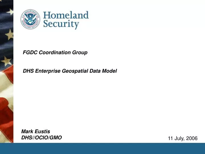
FGDC Coordination Group DHS Enterprise Geospatial Data Model . 11 July, 2006. Mark Eustis DHS//OCIO/GMO. landscape. Who is the audience? What are the requirements? Why build a new model? Where will the model be used? How will the model be used? Information about the model

E N D
FGDC Coordination GroupDHS Enterprise Geospatial Data Model 11 July, 2006 Mark EustisDHS//OCIO/GMO
landscape • Who is the audience? • What are the requirements? • Why build a new model? • Where will the model be used? • How will the model be used? • Information about the model • The development team • Alphabetically… • Kurt Buehler, Paul Daisey, Steve Grisé, Judy Lamey, Dr. David Li, Mike Ruth • Input, guidance & general assistance • Bob Phillips, Chair, HSWG Content Subgroup • And all of the attendees, contributors, and members of the group who shall remain unnamed because I can’t remember you all but you know who you are and thanks. DHS//OCIO/GMO -- Enterprise Geospatial Data Model
who is the audience? • The component agencies of the Department of Homeland Security • FEMA, PREP, USCG, CBP, etc. • DHS’ external partners in Homeland Security • Federal allies • Tribal, State, Regional & Local governments • Commercial entities & NGO’s DHS//OCIO/GMO -- Enterprise Geospatial Data Model
what are the requirements? • Support DHS’ business through synergy in geospatial reference content • Build a mechanism for intra- and extra-departmental data access • Improve access to ‘granular’ geospatial content thru standardization • Establish the foundation of DHS’ geospatial Service-Oriented Architecture • Build a standards-based platform for growth • Comply with FGDC Standards and Guidelines • Align with FEA Geospatial Profile • Align with DHS Enterprise Architecture (EA) • Align with DHS Geospatial Enterprise Architecture (GEA) • Develop a publicly accessible (notFOUO or SBU )geospatial data model • Build an extensible model with well documented implementation support • Strengthen the model through empirical development DHS//OCIO/GMO -- Enterprise Geospatial Data Model
why build a DHS model? • Evolution of geospatial technologies at DHS compels a standards-based approach • DHS is moving toward a Service-Oriented Architecture (SOA) • A federated network of data warehouses and mission-specific data marts • Requires standard reference layers to leverage queries • Also requires extension of content to accommodate agency-specific requirements • Building a Metadata Registry Repository • ISO & related metadata standards reflected in new model • DHS is mandated to comply with standards • National Information Exchange Model • NIEM addressing construct • Federal Geographic Data Committee • FGDC framework standard • The good works of DHS’ partners deserve notice in our evolution • Incorporate USGS & ESRI best practices from “Project Bluebook” • NGA, USGS & DHS developments from “Project Homeland” • Leverage emergence of the URISA & NENA addressing standard • Seamless interoperability and commonality of geospatial view between mission owners inside and out of the Department is our overriding goal DHS//OCIO/GMO -- Enterprise Geospatial Data Model
where & how will the model be used? • Inside DHS • baseline reference for MRR geospatial profile • template for building shared geospatial datasets • cost-reduction driver to eliminate duplication • standardized acquisitions & outsourcing template • template for common operating views & standard briefing presentations • Inside the Homeland Security community • Federal partners • ‘move-to’ baseline for collaborative geospatial programs • Round-trip consistency of content for disaster & general operations • Tribal, Regional, State & Local governments • Extract, Transform & Load template for content aggregation • Standard view for SOA connection to DHS • data “up” and information “down” the pipeline • NGO’s and commercial entities • Extract, Transform & Load template for content aggregation • Standard view for SOA connection to DHS • data “up” and information “down” the pipeline DHS//OCIO/GMO -- Enterprise Geospatial Data Model
DHS geospatial SOA – a target OLTP (Updates) HLS Business Applications Data Acquisition Data Integration & Transformation DHS Operational Data Sources FEMA CBP Staging Area Public USCG Others Map Visualization Services Geo-Analysis Services Location Applications ETL DHS Geospatial Data Sources Geospatial Data Warehouse Geospatial Metadata Services HSIP HAZUS GOS Portal Data Delivery Services Data Rationalization Mission Specific Data Marts & OLAP Services NADB Others Data Requirements Geospatial Metadata Web Services Management Transport Security HSIN Enterprise Information Bus National Geospatial Data Sources Geospatial Standards USGS NGA Data Governance Imagery Critical Infrastructure Base Feature Data State, Local & Others HLS Partners Quality Metrics Hazard Response Other Feature Data DHS//OCIO/GMO -- Enterprise Geospatial Data Model
a geospatial SOA for preparedness • DHS is reaching out to Tribal, Regional, State & Local partners • Starting with hurricane preparedness from Brownsville to Eastport • Phase one of DHS involvement • Focus on coastal states for centers, shoreline counties for data • Identify & establish ETL centers • Access local data thru SOA/web model DHS//OCIO/GMO -- Enterprise Geospatial Data Model
technical approach to building the model • Started with “USGS Bluebook” as a foundation and reference • Matured and improved through long attendance at the School of Hard Knocks • Cross-walked against NRP, HSIP & NADB • Perhaps most importantly, Bluebook provided DHS with an open platform on which to build a non-FOUO//unclassified, openly shareable model • Used FGDC “Framework” model to describe the core data layers: • Cadastral, Orthoimagery, Elevation, Geodetic control, Governmental Unit Boundaries, Hydrology, Transportation • Used NIEM/URISA Addressing model for addresses and names • Include all NIEM Geospatial Data Types • Incorporate NIEM 0.3 Data Model • Adopted “Bluebook” model for structures and critical infrastructure • Delivers key layers not in FGDC & NIEM models DHS//OCIO/GMO -- Enterprise Geospatial Data Model
developmental considerations • General approach: • Standard-based data constructs were chosen over proprietary constructs • Select semantic rich data constructs • UML (Unified Modeling Language) was used for the logical model • Follow UML Practices in the FGDC Framework Standard, e.g. use <<stereotype>> as a semantic extension mechanism for existing UML concepts. • ISO 19103 (Conceptual Schema Language) guideline • logical model constructed with a “package of packages” hierarchical structure to follow standard FGDC practices. • Task approach: • model constructed in UML • Documentation written concurrent with model • UML model • Data dictionary following FGDC guidance and ISO 11179-3 • Model description document • ‘cookbook’ for implementation of content aggregation/ETL centers built on model DHS//OCIO/GMO -- Enterprise Geospatial Data Model
progression to an integrated model DHS//OCIO/GMO -- Enterprise Geospatial Data Model
model refinement DHS//OCIO/GMO -- Enterprise Geospatial Data Model
overview DHS//OCIO/GMO -- Enterprise Geospatial Data Model
β – implementation guidelines • Coordinate with GMO • pre-implementation assistance and discussion • ensures use of most current version during evolutionary phase • allows for registry of process to ensure comments & empirical feedback • Start by leveraging the DHS model to improve existing work • If you’re starting from scratch, convert the DHS constructs into physical database schemas and data transfer encodings (payloads). • DHS//GMO resources and our partners will provide guidance and direction to help move from the logical model to a physical implementation • Contact GMO for a list of potentially-helpful modeling tools • GMO is coordinating with ESRI to build a ‘cookbook’ to support common user implementation sequences DHS//OCIO/GMO -- Enterprise Geospatial Data Model
Vetting Formal: • May 17, 2006 • FGDC//HSWG Content Sub-Group rec’d model for review and comment • June 1, 2006 • Version 1.0 of the model posted on FGDC web site with request for comments • Now • FGDC Homeland Security Working Group – Content SubGroup • Assimilating and adjudicating comments and requests for changes Informal: • May 17, 2006 • ESRI modeling team working on Project Homeland activities rec’d model • Now • Project Homeland implementing model as ETL template for practical feedback • Initial application at ETL sites in Texas, Virginia, plus internal DHS//OCIO/GMO -- Enterprise Geospatial Data Model
Schedule April 2W April 3W April 1W April 4W May 1W May 2W May 3W May 4W June 1W June 2W June 3W June 4W July 1W July 2W June 4W July 3W Define Modeling Scope and Approach Work on the First Draft of the Model Develop Required Documentation for Review You are here FGDC HSWG Content Subgroup Review Draft Release to FGDC HSWG FGDC HSWG Content Subgroup Review Project Homeland + DHS Component Pilot Implementation(s) DHS//OCIO/GMO -- Enterprise Geospatial Data Model
follow-up • For comments to model, please contact: • Ms. Kimberly Lohuis (kimberly.lohuis@associates.dhs.gov) …DHS//OCIO/GMO • For program questions or strategic discussions, please contact: • Mr. Mark Eustis (mark.eustis@associates.dhs.gov) …DHS//OCIO/GMO • Mr. Mike Lee at FGDC HSWG DHS//OCIO/GMO -- Enterprise Geospatial Data Model