Download
1 / 15
150 likes | 487 Views
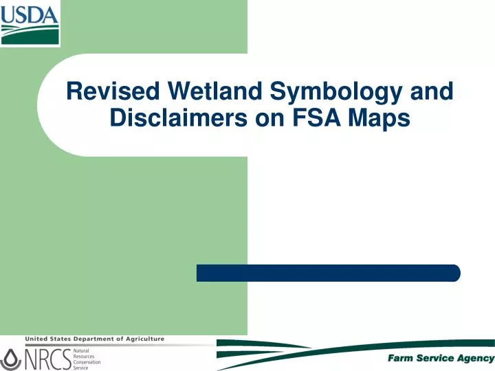
Revised Wetland Symbology and Disclaimers on FSA Maps. Background. For purposes of carrying out the wetland compliance provisions of the Food Security Act: NRCS is responsible for making wetland determinations in the field as requested by the landowner

E N D
Background • For purposes of carrying out the wetland compliance provisions of the Food Security Act: • NRCS is responsible for making wetland determinations in the field as requested by the landowner • FSA is currently responsible for maintaining the wetland determinations data in a digital geospatial point layer to be displayed as point symbols on producer maps • FSA and NRCS have agreed to use revised point symbols as wetland determination identifiers on producer maps
Previous Producer Maps • In the past, FSA maps used for acreage certification and other purposes contained labels and delineations of NRCS wetland determinations • Labels indicated determination type • Delineations indicated the shape, size, and location of the determination
Blue Dots • When FSA began using digital geographic data for mapping purposes, a blue dot was used to indicate that a wetland determination had been completed for an area.
Blue Dots • The blue dot indicated only the fact that NRCS had made a wetland determination in the approximate area of the blue dot. • The blue dot did not indicate the type of determination, nor did it indicate the size or the shape of the determination.
Blue Dots • The blue dots did not signify any change in existing FSA or NRCS policy regarding wetland determinations and wetland conservation compliance; the blue dots were simply used as a means of symbolizing the determinations.
Red, Yellow, and Green Point Symbols • In response to concerns, FSA and NRCS jointly agreed to change the blue dot symbols to red octagons representing ‘Restricted Use’ determinations, upside-down yellow triangles representing ‘Limited Restrictions’ determinations, and green squares representing ‘Exempt from Conservation Compliance’ determinations. • As with the blue dots, this change in mapping procedure does not change any FSA or NRCS policy regarding wetland determinations.
FW W PC FW FW Example: Blue Dot Wetland Symbol Map Example: Revised Wetland Symbol Map; See following pages for legend and information on determination categories Example: USDA Wetland Determination Map Examples
Red, Yellow, and Green Point Symbols • The new legend on FSA producer maps will look approximately as follows:
Red Octagon Symbol – Restricted Use • Represents these wetland determinations: • W – Wetland • CW, CW+YR – Converted Wetland + Year • AW/W – Artificial Wetland/Wetland • GFW, GFW+YR – Good Faith Wetland + Year • RSW, RSW+YR – Restored Wetland + Year • RPW – Replacement Wetland
Yellow Triangle Symbol – Limited Restrictions • Represents these wetland determinations: • FW – Farmed Wetland • FWP – Farmed Wetland Pasture • CWNA – Converted Wetland, Non-ag Use • AW/FW – Artificial Wetland/Farmed Wetland • CWTE – Converted Wetland Technical Error • TP – Third Party Conversion • WX – Manipulated Wetland • MW, CMW – Minimal Effect Wetlands • MIW, MWM – Mitigation Wetlands • NI – Not Inventoried • OW – Other Waters • Easement
Green Square Symbol – Exempt from Wetland Compliance Restrictions • Represents these wetland determinations: • PC – Prior Converted • NW – Non Wetland • PC/NW – Prior Converted/Non-Wetland • CC – Commenced Conversion • NW/NAD – Non Wetland, NAD Decision • AW – Artificial Wetland
Disclaimer • FSA producer maps also now include the following disclaimer: Wetland identifiers do not represent the size, shape, or specific determination of the area. Refer to your original determination (CPA-026 and attached maps) for exact wetland boundaries and labels, or contact NRCS.
Note • Maps with these symbols are not the official USDA wetland determination maps. Both FSA and NRCS have the USDA wetland determination maps available for landowners and operators. Copies of these original maps have previously been provided to all producers.
Summary • The new wetland point symbols do not represent any change in FSA or NRCS policies or procedures concerning wetland determinations. • The change in symbols is intended to give producers a more informative representation of the wetland determinations present on their land. • Contact FSA and/or NRCS at your local USDA Service Center with questions or concerns.