Download
1 / 1
10 likes | 166 Views
Geology, Geomorphology, and Salmonid Distribution in the Upper Nehalem Watershed, Oregon. Brandon Snook and Dr. Steve Taylor, Dept. of Earth and Physical Science, Western Oregon University, Monmouth, OR 97361. Background. Introduction. LIDAR Pilot Study. Rock Creek Fish Assessment.

E N D
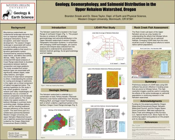
Geology, Geomorphology, and Salmonid Distribution in the Upper Nehalem Watershed, Oregon Brandon Snook and Dr. Steve Taylor, Dept. of Earth and Physical Science, Western Oregon University, Monmouth, OR 97361 Background Introduction LIDAR Pilot Study Rock Creek Fish Assessment The Nehalem watershed is located in the Coast Range of northwest Oregon (Fig. 1). This project focuses on analysis of the geology, geomorphology and salmonid distribution in the Upper Nehalem watershed of western Oregon. Geographic Information Systems, in conjunction with emerging LIDAR technologies, are used to analyze and interpret data collected from the watershed to understand the associations between bedrock geology, fluvial geomorphology and fish habitat. The Rock Creek sub-basin of the Upper Nehalem serves as a key location for understanding the affects that hillslope failure and sediment transport has on salmonid habitats. Emerging LIDAR data from this area could be crucial in helping local efforts to restore native salmon populations. Mountainous watersheds are fundamental landscape elements that form an important setting for local ecological interactions, human occupation, and water resource development. The western Oregon landscape is associated with active mountain building and extreme precipitation patterns that result in a dynamic geomorphic system characterized by seasonal flooding, slope failure, and debris flow activity (Benda, 1990). Taylor (2002) conducted GIS-based analyses of Coast Range watersheds to elucidate associations between bedrock composition and slope gradients. The study revealed that certain bedrock types are associated with significantly steeper slopes, wider valley bottoms, and higher occurrence of slope failure compared to others. Understanding the controls for routing and storage of sediments in this region are a critical component of habitat management plans. The working hypothesis for this study is that stream gradients, channel network and valley morphologies will statistically vary as a function of bedrock composition and climatically driven erosion patterns. The model implies that spatial variation of bedrock lithology is a primary factor controlling slope, hillslope delivery rates, and the resulting sediment-transport efficiency of the channel system. This work forms part of a collaborative partnership between Western Oregon University, the Upper Nehalem Watershed Council and a rapid bio-assessment program funded by the Oregon Watershed Enhancement Board (OWEB). Percent Summary Preliminary analysis of LIDAR data using GIS software has proven effective in locating areas that are prone to hillslope failure. This high resolution imagery could be useful in analyzing the effects of this active landscape on salmonid populations in continuing research in the Nehalem watershed. Figure 1 - Relief map created by Ryan Stanley Geologic Setting The Nehalem watershed is underlain by a combination of early Tertiary basalts (Tillamook Volcanics) and marine sedimentary rock (Keasey, Pittsburg Bluff, and Sager Creek Formations), both of which underlie a significant portion of the Northern Oregon Coast Range drainage (Fig. 2). Acknowledgments Funding for this project provided by Oregon Watershed Enhancement Board, Nehalem Watershed Council, and the Oregon Space Grant Consortium. RBA data collection by Steve Trask and colleagues at Bio-Surveys, LLC. Special thanks to Dr. Steve Taylor for his continuing support and guidance on this project and my education. References Benda, L., 1990, The influence of debris flows on channels and valley floors in the Oregon Coast Range, U.S.A.: Earth Surface Processes and Landforms, v. 15, p. 457-466. Taylor, S.B., 2002, Bedrock Control on Slope Gradients in the Luckiamute Watershed, Central Coast Range, Oregon: Implications for Sediment Transport and Storage: American Geophysical Union Abstracts with Programs, Fall Meeting 2002, San Francisco, California. Burns, W.J., and Madin, I.P., 2009, Protocol for Inventory Mapping of Landslide Deposits from Light Detection and Ranging (LIDAR) Imagery: Oregon Dept. of Geology and Mineral Industries, Special Paper 42, 30 p.Davis, J.C., Statistics and Data Analysis in Geology, 3rd Ed.: Wiley and Sons, 656 p. Campbell, J.B., 2007, Introduction to Remote Sensing 4th Ed., The Guilford Press, 626 p. Dietrich, W.E., and Dunne, T., 1978, Sediment budget for a small catchment in mountainous terrain: Zeitschrift fur Geomorphologie Supplementband, v. 29, p. 191-206. Lefsky, M. A., Cohen, W.B., Parker, G.G., and Harding, D.J., 2002, LIDAR Remote Sensing for Ecosystem Studies: BioScience Journal, v. 52, no. 1, p.19-35. Li, Z., Zhu, Q., and Gold, C., 2005, Digital Terrain Modeling: Principles and Methdology: CRC Press, Boca Raton, 323 p. Contact Brandon Snook Western Oregon University bsnook06@wou.edu Figure 2