Download
1 / 34
340 likes | 427 Views
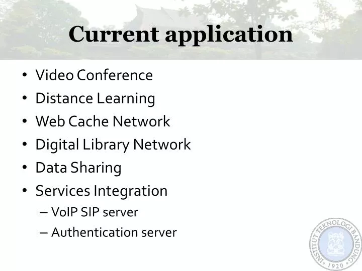
Current application. Video Conference Distance Learning Web Cache Network Digital Library Network Data Sharing Services Integration VoIP SIP server Authentication server. Next Application on Inherent. Distance Learning E-learning initiatives Network Testbed

E N D
Current application • Video Conference • Distance Learning • Web Cache Network • Digital Library Network • Data Sharing • Services Integration • VoIP SIP server • Authentication server
Next Application on Inherent • Distance Learning • E-learning initiatives • Network Testbed • Performance network measurement • Routing test performance (fiber , mpls, wireless network, and satellite network) • Digital Library Network • Distributed Digital Library • Virtual Laboratory • Grid Infrastructure • Weather Prediction/sensor network
E-Learning activities • Blended System • Face to face system and e-learning • Using video conference system • Using LMS (Learning Management System)
Weather Prediction Application • Weather prediction application running in ITB is the only one weather prediction application in Indonesia. • Currently using several computers for running the computation. • Get the data using tein3 network to Japan & US
Weather Prediction Application (cont.) • This application is using MODIS data from sattelite image1 to generate weather forecast information and displayed in a web page. • Parameters used for this application like Infrared and Water vapor are plotted to TBB (Temperature Black Body) over Maritime Continent. • Using Penn State/NCAR MM5 model. Our regional model covers Indonesia and its neighboring countries (15S - 15N, 90E - 150E) with horizontal resolution of 30 km. Model output parameter plotted in this page is 3-hourly accummulated convective rainfall and horizontal wind at 10 m. 1downloaded from Konichi University in Japan
Weather monitoring based on geostationary satellite (MTSAT) infra red (IR) channel 1 (wavelength : 10.3-11.3 µm) imagery.
OLR and 10 Meter Hwind Analysis (shaded and vector) for Asian Region
Weather Prediction Application (cont.) • Due to the limited computation resource the computation only done for weather forecast in Java region. With the Grid program, the weather prediction could be done with the more spesific location and calculation.
USN-IP-sensor network • Connected among the TEIn3 members • Small sensor network • Connected with Ipv6 • Real time measurements • Temperature and humidity sensor
Fire Information System • Early warning and fire detection measures have been regularly implemented through nation-wide dissemination of hotspots captured from NOAA Satellite receiver station. In addition, Forest Fire Command Posts established in some fire prone provinces have intensively activated particularly during the fire season. • Analysis results of the hot spots data monitored in the year of 2007 indicate that substantial number of hot spots is occurred until August 2007 and so on (2009). In Sumatera and Kalimantan. Further analysis shows that in general around 70% hot spots are found in land areas, while around 30% are located in forest areas
Collaboration • Collaboration among • Landgate Australia (http://landgate.gov.au) • Ministry of forestry (Indonesia) • Ministry of environment (Indonesia) • National Space Agency (Indonesia) • TEIN3 Indonesia (ITB) • Inherent network • The objective : • To deliver the MODIS data direct to field using Inherent and TEIN3 network
Technical problems • Seven satellites NOAA15/16/17/18, Terra, Aqua, MTSAT-1R processed in NRT each day • FireWatch 5GB/month, all services 9GB/month delivered to clients daily • To provide MODIS from Darwin to LAPAN or MoF for processing - 6GB/day • It is hard to deliver the data though Internet • Limited bandwidth access in Indonesia
Terra MODIS 5 August 2006 Processing and Analyzing with ER Mapper Haze and Fire Hotspot Wind direction Band 1-2-1 Haze and Fire Hotspot Band 1-2-1 Viewing fire hotspot and haze movement with real time MODIS imagery. Band 1-4-3 (True Color)
Terra MODIS 5 August 2006 (Cont.) Processing and Analyzing with ER Mapper and ArcGIS Fire Hotspot displaying with Topographic Map as backdrop. Through this we can know the location of FHS base on topographic map information.
Indonesia firewatch network • The MODIS data will be deliver on July 2009 • Via TEIN3 network • Via Inherent network to • Kalimantan area (in Palangkaraya) • Sumatra area (in Riau) • The data will be deliver every 1 hours • The result deliver to fire distinguishers team
Summary • TEIN initiatives gives strong impact to the Asia Region • The Interconnection among the NREN has build the new strong collaboration • It is open collaboration for research and education