Download
1 / 25
250 likes | 364 Views
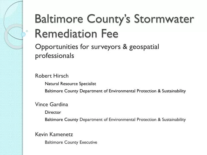
Baltimore County’s Stormwater Remediation Fee. Opportunities for surveyors & geospatial professionals Robert Hirsch Natural Resource Specialist Baltimore County Department of Environmental Protection & Sustainability Vince Gardina Director

E N D
Baltimore County’s Stormwater Remediation Fee Opportunities for surveyors & geospatial professionals Robert Hirsch Natural Resource Specialist Baltimore County Department of Environmental Protection & Sustainability Vince Gardina Director Baltimore County Department of Environmental Protection & Sustainability Kevin Kamenetz Baltimore County Executive
Baltimore County’s Stormwater Remediation Fee County perspective on fee Baltimore County’s fee structure Use of Geospatial Data Opportunities for Surveyors
The Fee & County Governments • Stormwater runoff causes pollution
Local fish consumption hazards www.mde.state.md.us/fishadvisory/
The Fee & County Governments • Stormwater runoff causes pollution • County responsible for urban runoff
Redhouse run, before restoration Active erosion from stormwater runoff. Excessive sediment and nutrients into Back River and the Chesapeake Bay. Damaged sewer mains, bridges, and habitat. Private and public land lost .
The Fee & County Governments • Stormwater runoff causes pollution • County responsible for urban runoff • Water quality impairments persist • EPA & MDE regulation ↑↑ • County compliance costs ↑↑ • Stormwater Remediation Fee • Dedicated fund • Restore impaired water bodies • Comply with stormwater pollution regulations
Redhouse run, before restoration Redhouse run, after restoration
Fee Structure: assessment mechanism • Impervious Surface (IS) based fees • Science supports • Courts uphold • Concrete and simple IS maps + cadastral maps=objective, fair, easily explained assessments+easily resolved disputes
Fee Structure: limiting potential problems • 296,990 property accounts! • More calculations, more problems • KISS • Single family residences get flat fee • 155,710 detached homes • 65,405 townhouses and duplexes • 19,952 residential condo units • Agriculture & Vacant are exempt: • 39,560 agricultural and vacant • 16,363 (5.5%) get ‘geospatial’ fee
Fee Structure:Stormwater BMP Credits • Adapt existing SWM BMP program • Geodatabase and monitoring program exist • Bay Program guides credit calculations • Fee Credits ∝MDE Credits to County
Fee Structure:Stormwater BMP Credits • Adapt existing SWM BMP program • Geodatabase and monitoring program exist • Bay Program guides credit calculations • Fee Credits ∝MDE Credits to County • KISS: credits not applied to residential • Maximum credit: 74% • 26% of impervious surfaces are owned by Baltimore County
Fee Structure:Setting the Rates • Bay TMDL annualized cost • Fee must: • Cover Bay TMDL costs • Including SWM BMP credits • Be Proportional to ISA • Avoid hardships on non-profits • SFD: $39 / dwelling • SFA: $21 / dwelling • Condo: $32 / dwelling • Non-profit Institutional: $20 / 2000 sq ft IS • Commercial: $69 / 2000 sq ft IS
Fee Structure:Results of geospatial fees • Commercial • 14,791 accounts • 13,109 with ISA • $780,169 - max • $ 873 - 3rd quartile • $ 263 - median • $ 49 - 1st quartile • $ 0.36 - min • Non-Profits Institutions • 1,754 accounts • 352 with ISA • $21,511 - max • $ 359 - 3rd quartile • $ 124 - median • $ 42 - 1st quartile • $ 1.04 - min
Use of geospatial data:Fee Assessment • Impervious Surfaces • aerial photography • Cadastre • plats, metes & bounds, etc. • Stormwater BMP geodatabase • engineering and construction plans • Updating & Maintaining Data • $500,000 from fund in first year
Use of geospatial data:Appeals • Successful appeal requires evidence • Property owners often used an engineering firm to prepare the evidence or the whole appeal • 791 fees appealed in first year • 613 related to geospatial data • 203 of these were successful • $253,302.94 total fee reduction • $ 1,247.80 average per successful appeal • $ 413.22 average per appeal filed • Totals should ↓each year
Use of geospatial data:Stormwater Remediation Projects • County Remediation Program • planning, design, and construction • Field surveys • Photogrammetry • Desktop GIS/CADD work • $20,000,000 per year • Landowner BMPs • planning, design, and construction • Typically, fee << cost of SWM BMP • $ ???
Opportunities for Surveyors and Geospatial Professionals • Appeal assistance • $ ↓ • Landowner SWM BMP • ??? • Maintaining GIS data used for fees • $$ • County Restoration Projects • $$$
Thank you! • For more information, visit: www.baltimorecountymd.gov/stormwaterfee.html “Baltimore County: 200 Miles of Waterfront” Lower Spring Branch restoration: Tributary to Loch Raven and Baltimore metro drinking water