Best Land Surveyor and Engineers in Sharjah
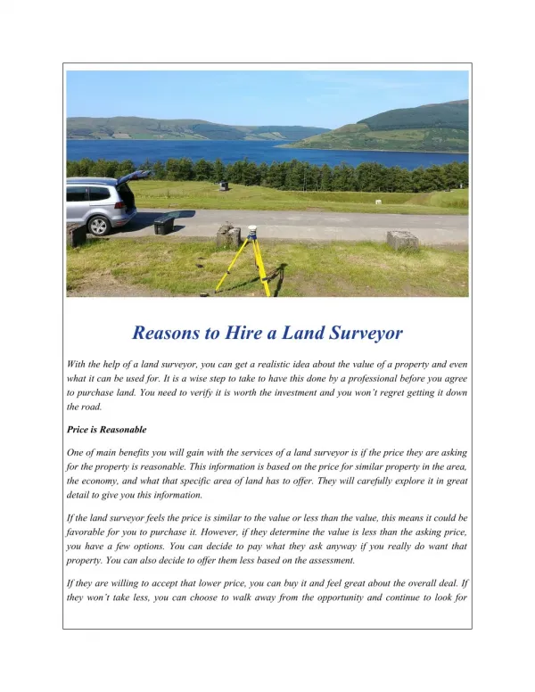
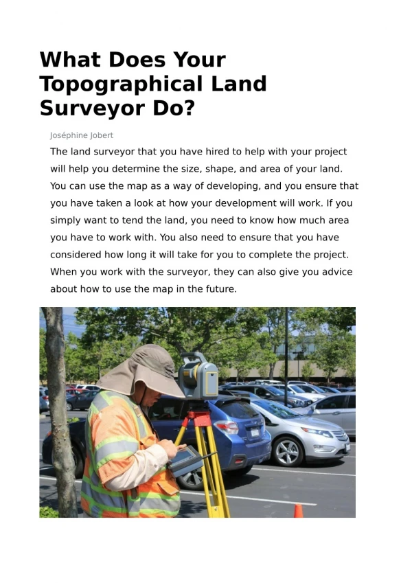
1. Land surveyors assess a particular area for the purpose of development, and to measure and map the area. 2. Land surveyors used advanced technology such as GPS, Robotic Total Stations (Theodolites), and aerial and terrestrial scanners. 3. Some of the tasks of a land surveyor is to make exact measurements and determine property boundaries and to collect and provide data on the location, contours, gravitation, elevation and features of an area for land evaluation, mining, construction, mapmaking and other purposes. 4. A surveyor verifies the accuracy of the survey data including the measurements and calculations conducted at survey sites. 5. He/she also writes descriptions of property boundary surveys which would be used in deeds, leases and other legal documents. 6. Surveyors work on different projects including mining exploration, land subdivision, tunnel building, and constructions and they play a vital role in the development of the landscape; from planning and designing of land subdivisions to the construction of roads, utilities, and landscaping. 7. The job of a land surveyor is both in the office and in the field. After the collection of data the surveyor studies old records to understand how the environment of the particular location has changed and provide a complete analysis of the site. Visit Yellowpages-UAE website to know more information about Best Land Surveyor and Engineers in Sharjah at http://www.yellowpages-uae.com/uae/sharjah/land-surveyors
★
★
★
★
★
170 views • 9 slides