Download
1 / 37
370 likes | 379 Views
Inventory of Glaciers, Glacial Lakes and GLOFs in HKH Region of Pakistan. WRRI, NARC, Islamabad. March 24th, 2005. PARC-ICIMOD Partnership. 1992 – An in-formal collaboration was initiated between PARC and ICIMOD

E N D
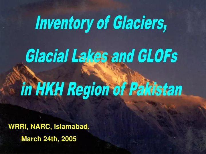
Inventory of Glaciers, Glacial Lakes and GLOFs in HKH Region of Pakistan WRRI, NARC, Islamabad. March 24th, 2005
PARC-ICIMOD Partnership 1992 – An in-formal collaboration was initiated between PARC and ICIMOD 1994 – A first formal collaboration was started in the field of GIS between PARC and ICIMOD 2002 – PARC - ICIMOD started a formal project on “Glaciers, Glacier Lakes and GLOF Outbursts in HKH region of Pakistan ”.
Glaciers in Hindu Kush-Himalaya-Karakoram Region Source: Map of Glacier Resources in the Himalayas, Lanzhou Institute of Glaciology and Geocryology, Chinese Academy of Sciences, PR China, 1999
Mosaic of Landsat-7 ETM+ Quick Looks (2000-2001) Path 148-151 Row 34-36 Gilgit Hunza Chitral Shigar Shyok Swat Indus Indus Astor Shingo Jhelum Mosaic of northern glaciated region of Pakistan.
Study and acquisition of Literature Topographic maps Satellite images Reports Quick view Maps Reports Maps IRS Reports Maps Landsat-7 ETM+ Reports Maps Capturing digital database of glaciers and glacial lakes from the map and satellite images Dissemination of results (Workshop/Seminar/ Conferences) Transfer of methodology FINAL REPORT/ CD Analysis and identification of potentially dangerous lakes Inventory of glaciers and glacial lakes Attribute database development
Mountain Glaciers Valley Glaciers
Avalanches in the Mountainous areas bring heavy loads of snow downstream
Materials Topographic maps 1:50,000 Survey of Pakistan 1960s to 70s (not available for use) 1:250,000 Survey of Pakistan, 1960s (available but no detail projection parameter) 1:500,000 National Imagery Mapping Agency and Defense Mapping Agency of US (1996, NIMA map) Aerial photographsnot available for use Satellite imagesLandsat-7 ETM+
Methodology Mapping and Inventory of Glaciers is based on Muller et al. 1977 World Glacier Inventory (WGI), Temporary Technical Secretary (TTS), Swiss Federal Institute of Technology, Zurich And ICIMOD 2001 Inventory of glaciers and glacial lakes of Nepal and Bhutan
Numbering of glaciers Spatial distribution Area of the glacier Length of the glacier Elevation of tongue and crown of the glaciers Orientation of the glacier Thickness of the glacier Ice reserve Activity of glaciers Morphological classification Registration of snow and ice masses
Ice Thickness = –11.32 + 53.21 F0.3 (F= glacial area) Ice Reserve=(Mean Ice Thickness) x (Glacial Area)
Conclusions- I Total number of Glaciers………. 5,218 Total glaciated area........................... 15041 Km2 Est. Ice Reserves..………………. 2,738 Km3 Glacial Lakes……………………. 2,420 Major Lakes…………………….. 1,328 Potentially Dangerous Lakes…... 52 Continued……
Conclusion-II • Maximum glaciers are on northern aspects • Maximum glacial lakes are in Gilgit and Indus River Basins • Most of the potentially dangerous lakes are in the southern basins
Forest Agriculture Grass Land Bare Ground Water Snow Shadow/Clouds Dangerous Lakes
What next? • Complete inventory and development of a spatial and attribute digital database using reliable medium- to large- scale (1:50,000 to 1:10,000) topographic maps and RS data. • Identify and monitor PDGL using temporal high resolution RS data, and a multi-disciplinary professional team, over-flight observation and field surveys. • Establish physical monitoring systems around the potentially dangerous glacial lakes and along the corridors downstream. • Develop an Early Warning System with necessary instrumentation at glacial lakes of concern and downstream to minimize the impacts of GLOF Cont.....
Carry out necessary mitigation works in the glacial lakes of concern to avoid the possible GLOF. • Regional cooperation and interaction among all relevant organizations/institutions/agencies within and outside the Hindu Kush-Himalayan-Karakoram Region. • Dissemination of scientific findings of detailed studies, practical experiences, mitigation activities, and promote preparedness for possible disasters arising from GLOF events. • Bring about awareness amongst policymakers and the public in general.
Potential Future Applications Provides a baseline information for • Global climate change studies • Planning for water Resources • Biodiversity and environmental studies • Infrastructure development • Hazard mitigation • Irrigated agricultural planning for food security for poverty reduction....etc.
Future Initiatives • Mountain Area Conservancy Fund • Italian initiative on the “Regional Decision Support System for National Park Management in the Hindu Kush-Karakoram-Himalayan Region”...... Ev, K2 CNR, IUCN, ICIMOD, CESVI and Italian Government • Flood Protection Sector Project-I..... SAMFIL and SOBEK • Geoinformatics for Watershed Management in the Hindu Kush Himalayas.....ILWIS, DUFLOW, HEC-RAS, etc.
Thank you drroohi_gis@yahoo.com