Download
1 / 33
330 likes | 624 Views
Session 3.3: Implementing the geospatial data management cycle (Part 2): Defining the vocabulary, the data set specifications, standards, protocols, and ground reference. Key terms used in this session. Data: Facts and statistics collected for reference or analysis

E N D
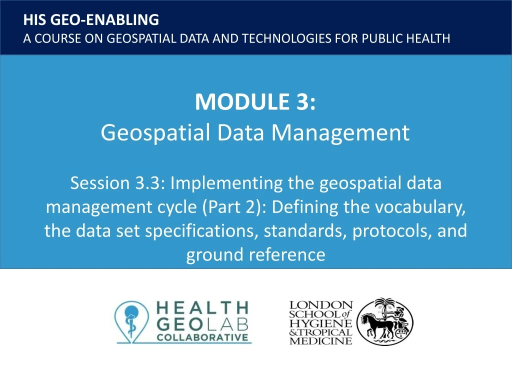
Session 3.3: Implementing the geospatial data management cycle (Part 2): Defining the vocabulary, the data set specifications, standards, protocols, and ground reference
Key terms used in this session Data: Facts and statistics collected for reference or analysis Geographic data: Information describing the location and attributes of things, including their shapes and representation. Geographic data is the composite of spatial data and attribute data. Geographic feature: Man-made or naturally-created features of the Earth. Geographic object: Whereas features are in the real word (mountain, river, church, etc.), geographic objects are computer representation of features 2
Key terms used in this session Geographic Information: Spatial and/or geographic data organized and presented to create some value and to answer questions Geographic Information System (GIS): An integrated collection of computer software and data used to view and manage information about geographic places, analyze spatial relationships, and model spatial processes Geospatial data: Also referred to as spatial data, information about the locations and shapes of geographic features and the relationships between them, usually stored as coordinates and topology. Statistical data: Also attribute data. Nonspatial information about a geographic feature, usually stored in a tablethat can be attached to a geographic object through the use of unique identifier or ID 3
Defining the vocabulary, data set specifcation, and ground reference The next steps in the geospatial data management cycle ensure that all data acquired in the later steps are able to satisfy the pre-defined objectives and expected outcomes. These steps are: • Defining the vocabulary • Defining the data set specification • Defining the ground reference 4 http://www.healthgeolab.net/DOCUMENTS/Guide_HGLC_Part2_2.pdf
Defining the vocabulary • Defining the vocabulary ensures that all actors involve speak the same language GIS: Esri online GIS dictionary: http://support.esri.com/other-resources/gis-dictionary GIS: wiki.GIS.com: http://wiki.gis.com/wiki/index.php/GIS_Glossary Also important to have a dictionary covering the concerned thematic area (Malaria, MNH,…) 5
Defining the data set specification and ground reference • Addressing public health issues requires good quality data and good geospatial data must cover the six (6) dimensions of data quality: Completeness: No data gap Uniqueness: No duplicates Timeliness:Up-to-date Validity: Conform to the defined format, type, range,... Accuracy: Correctness Consistency: No difference across sources • The data set specifications and the ground reference capture the standards against which geospatial data is assessed to measure these dimensions. 6 http://www.healthgeolab.net/DOCUMENTS/Guide_HGLC_Part2_2.pdf
Defining the data set specifications • A geospatial data specification document contains all features a geospatial dataset should comply with in order to be considered of good quality and fulfill the original purpose and expected outcomes of the project. • The data quality dimensions1 covered by the data set specifications are presented below: • 1 A Data Quality (DQ) Dimension is a recognised term used by data management professionals to describe a feature of data that can be measured or assessed against defined standards in order to determine the quality of data. 7
Defining the data set specifications • Such document should contain at least the following information: • Validity: • V.1 Geographic coordinate system and map projection • V.2 Geographic extent of the area being covered • V.3 Language(s) included in the data • V.4 File format(s) for sharing data • V.5 Metadata standard used to document the data • Accuracy: • A.1 Scale (vector layers) • A.2 Spatial resolution (raster layers) • A.3 Positional accuracy (vector layers) • A.4 Positional accuracy (GNSS reading) • A.5 Positional precision (GNSS reading) • Timeliness: • T.1 Period for which the data is being considered as relevant Consistency 8
Defining the data set specifications V.1 Geographic Coordinate System System in which geospatial data is defined by a 3-D surface and measured in latitude and longitude. • Angular units: The unit of measure on the spherical reference system. • Prime meridian: The longitude origin of the spherical reference system. • Datum: Defines the relationship of the reference spheroid to the Earth's surface. • Spheroid: The reference spheroid for the coordinate transformation. https://www.healthgeolab.net/DOCUMENTS/Guide_HGLC_Part2_2.pdf 9 http://help.arcgis.com/en/arcgisdesktop/10.0/help/index.html#/What_are_geographic_coordinate_systems/003r00000006000000/
Defining the data set specifications V.1 Geographic Coordinate System IMPORTANT: Must use the same Geographic Coordinate System on each dataset being combined on a map 10
Defining the data set specifications V.2 Projected Coordinate System System in which geospatial data is defined by a flat 2-D surface and can be measured in units of meters and feet. Map projection A method by which the curved surface of the earth is portrayed on a flat surface • The systematic transformation of points on the Earth’s surface to corresponding points on a plane (flat) surface • The earth is 3D but maps need to be flat! • This requires distortion of some parts of the map. Note: When displaying data that's using a geographic coordinate system, GIS uses a projected coordinate system. Basically, we just treat the coordinate values as if they are linear and just display the data. 11
Defining the data set specifications V.2 Map Projection – Basic projection techniques Cylindrical Conical Azimuthal https://www.healthgeolab.net/DOCUMENTS/Guide_HGLC_Part2_2.pdf 12 http://www.icsm.gov.au/mapping/about_projections.html#types
Defining the data set specifications V.2 Map Projection – Basic projection types Each projection preserves a particular relationship or characteristic: • Equal-Area — correctly shows the size of a feature • Conformal — correctly shows the shape of features • Equidistant — correctly shows the distance between two features • True Direction — correctly shows the compass direction between two features A map cannot be at the same time equal-area or conformal – it can only be one or the other, or neither. A map projection is to be chosen based on the needs 13 https://www.healthgeolab.net/DOCUMENTS/Guide_HGLC_Part2_2.pdf
Defining the data set specifications V.2 Map Projection – Examples 14 https://en.wikipedia.org/wiki/List_of_map_projections
Defining the data set specifications V.3 Language • National versus international capacity to understand the data V.4 Geospatial and attribute data format (mostused) • Vector • Shapefiles (actually composed of the 3 to 8 files) • GeoJSON (QGIS) • Raster • Georeferenced: Geotiff • Not georeferenced: .jpeg, .png, etc. • GRID • Tabular (attributes): • Spreadsheets: .xls, .dbf (for point type data and when they contain the latitude and longitude) • Combined vector/raster/tabular • Geodatabases Recommended 15
Defining the data set specifications V.5 Metadata – Data about the data For users to ensure that the data is appropriate for their own purpose Should be captured as much as possible during data collection and completed before data dissemination Applies to both geospatial and statistical data Different standards exists (FGDC, ISO) but they first need to be converted into a metadata profile (selection of fields) before being used. 16
Defining the data set specifications V.5 Metadata – Data about the data A minimum metadata should cover: • Where is the data coming from? • When was it created/last updated? • What is the method behind the data (scale, accuracy,..)? • Which geographic coordinate/projection system is being used? • Are there any use or redistribution restrictions attached to the data? • Whocan I contact if I have questions? 17 https://www.healthgeolab.net/DOCUMENTS/Guide_HGLC_Part2_5_1.pdf
Defining the data set specifications A.1 Scale, A.2 Resolution, A.3 & A.4 Accuracy, and A.5 Precision • Scale: The ratio or relationship between a distance or area on a map and the corresponding distance or area on the ground, commonly expressed as a fraction or ratio. A map scale of 1/100,000 or 1:100,000 means that one unit of measure on the map equals 100,000 of the same unit on the earth. • Resolution (raster format): The dimensions represented by each cell or pixel in a raster. • Accuracy: The degree to which a measured value conforms to true or accepted values. Accuracy is a measure of correctness. • Precision: The number of significant digits used to store numbers, particularly coordinate values. Precision measures exactness. 18 http://support.esri.com/other-resources/gis-dictionary/
Defining the data set specifications Accuracy and Precision (A.4 and A.5) 19
Defining the data set specifications Precision (A.5) At the equator: 360 º 40’075 km 1 º ͌ 111’320 m Recommended During data collection in the field (GNSS enabled devices) When generating or extracting vector format geospatial data (precision level of vertices) 20
Defining the data set specifications Scale, Accuracy, and Precision (A.1, A.3, and A.5) United States Geological Survey mapping standards: "requirements for meeting horizontal accuracy as 90 per cent of all measurable points must be within 1/30th of an inch for maps at a scale of 1:20,000 or larger, and 1/50th of an inch for maps at scales smaller than 1:20,000." 21 http://www.colorado.edu/geography/gcraft/notes/error/error_f.html
Defining the data set specifications Scale and Resolution (A.1 and A.2) Values are very close to those for accuracy 22 Tobler W. (1987): Measuring Spatial Resolution, Proceedings, Land Resources Information Systems Conference, Beijing, pp. 12-16
Defining the data set specifications To summarize • The purpose behind the use of geospatial data will guide the choice of a specific scale of work. • This scale will directly influence the positional accuracy and spatial resolution that should be used when compiling, collecting, or extracting geospatial data. • The highest accuracy possible should be sought when using GNSS-enabled devices to allow for the largest use possible of the resulting data; and • A precision level down to the meter (5 digits in decimal degrees) is being recommended. Geospatial data set specifications for Myanmar 23
Defining the data set specifications Example - Data specifications for MOH of Vietnam (HIS geo-enabling process) 24
Defining the data set specifications Example - Data specifications for MOH of Vietnam (HIS geo-enabling process) 25
Defining the ground reference • There are two types of ground references or ground truths: Remote sensing imagery (geospatial) The image also has its own accuracy 890 m Master lists (geospatial and attribute data) 26
Defining the ground reference Remote sensing imagery The number of remote sensing imagery sources are slowly increasing which allows countries to cover their whole territory through orthophotos but it is important to remember that: • 1. Most of these images are not freely available and come with a cost (the higher the resolution the higher the price in general). • 2. The resolution of these images change from one satellite to the other, making them not always appropriate for the scale of work that has been chosen 27
Defining the ground reference Remote sensing imagery Nowadays, high resolution images are also available at no-cost through online platform such as Google Map or Bing Map. This option requires uploading the data into the platform which represent the following limitation: • 1. The volume of data that can be imported remains limited. • 2. The format of the data has to be modified in order to allow for the upload. • 3. The potential modification can't take place into the platform itself and have to be visually implemented in a GIS. • A good alternative to this option is the possibility to have access to such imagery directly on GIS software through what is called a web mapping service. 28
Defining the ground reference Master list Master lists are central to the Health Information System (HIS) as they represent the reference ensuring data consistency among data sources. At the same time, master lists: • Provide the denominator for data collection (including for sampling), monitoring, and evaluation; • Represent one of the pillars to geo-enable the HIS • Form the reference to assess the quality of geospatial data • Minimize duplicate reporting and improve transparency • Support better analysis and synthesis of data and consequently, decision making as well as health system functioning; and • Serve as the official source of geographic coordinates for point type objects when this information is being captured 29
Defining the ground reference Master list A master list should: • 1. Cover the core set of fields that would allow uniquely identifying, locating and, when appropriate, contacting each active record in the list; • 2. Originate from the governmental entity officially mandated to develop and maintain such master list; • 3. Be complete and up-to-date; • 4. Contain an official and unique Identifier (ID) for each of the records; and • 5. Make the link with other master lists when appropriate (for example the name and unique code of administrative divisions to be included in the health facility master list). 30
Defining the ground reference Master list Unique identifier Geospatial Data (object) Map Attribute Region/ State Stats/Info Stats/Info District Township Stats/Info Village track Stats/Info Table/graph Ward Health facility Information Information EPI community Patient Stats/Info Health program specific Master lists 31
Defining the ground reference Master list, Registry, and Common geo-registry • The concept of registry refer to the IT solution that allows storing, managing, validating, updating and sharing a master list while the master list is itself the standardized data stored in that solution The need to consider several geographic features when implementing public health programs and the relationship between these features resulted in the development of a new type of registry - a common geo-registry - to simultaneously host, maintain, update and openly share the master list for each of these objects and their relationships, together with a link to their associated geography stored in a Geographic Information System (GIS) readable format . 32
Data compilation and gaps assessment What should you do after having defined the vocabulary, data set specifications, standards, protocols, and ground reference? Session 3.4: Implementing the geospatial data management cycle (Part 3): Data compilation and gaps assessment 33